
So far, this has been my absolute favorite trail run of the year. While Longs Peak is a close seasonal second, the views from the summit of Cloud Peak were on an entirely different level, and the weather could not have been more perfect. The Bighorn Mountains are a lesser-known and less-traveled Wyoming range, often overshadowed by their dramatic Teton and Wind River counterparts. But with all the rich alpine wilderness this state has to offer, the Bighorns should never be excluded from your ambitions. Cloud Peak is a giant that towers 13,171 feet above Tensleep and the Bighorn Basin. It stands as the highest point in the Big Horn mountains, features vast wilderness, beautiful alpine lakes, and holds the last remaining active glacier in the range. Remarkably, it boasts the greatest topographic prominence of any mountain in Wyoming—beating out Gannett Peak by just one foot.
This summer highlight was made even better with my good friend Luke driving up from Fort Collins to join me. Together, we recalled our youth soccer days spent traveling to nearly every town in Wyoming, including long drives up Tensleep Canyon and over the Cloud Peak Scenic Byway. I had forgotten, or perhaps in naive fashion never truly recognized, just how incredible this area is.
The trip to the Bighorns was about a six-hour drive for both of us. We met and camped at the West Tensleep Lake campground, which serves as the launching pad for the peak. At 3:30 a.m., our alarms shattered the silence and we began prepping for the massive day ahead. A heavy rainstorm had soaked the range overnight, but when dawn broke at 4:45 a.m. and we jogged off onto the Mistymoon Trail, the stars were bright and there wasn't a single cloud left in the sky. We picked a perfect weather window, and we counted our blessings—the clear, cool air was a welcome relief for Luke, whose home state of Colorado was already under siege from summer wildfires and record heat.
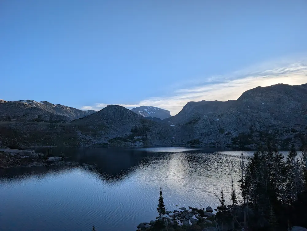
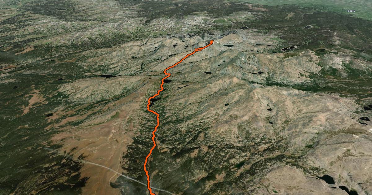
The West Tensleep Lake trailhead was already full when we departed, and we managed to snag the final two designated parking spots. The line of travel traces West Tensleep Creek past a stunning string of alpine waters named Lakes Helen, Marion, and Mistymoon. We held a steady, decent jog all the way to Mistymoon Lake, where we paused for our first water refill and soaked in the blossoming morning views. Cloud Peak loomed massive on the horizon ahead, looking deceptively close.
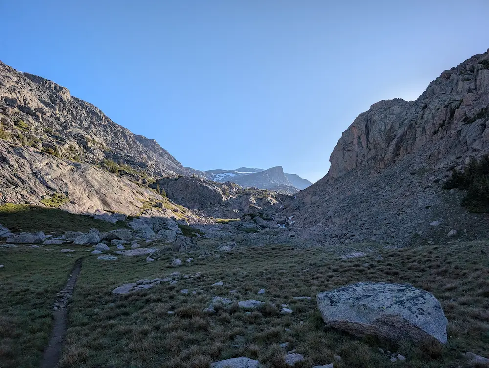
From Mistymoon, you follow the Solitude Loop Trail for about a mile before splitting off at Paint Rock Creek. This crucial turn is completely unmarked and sits approximately 7.6 miles from the trailhead. Dropping down to cross the creek, the established trail fades out into a massive boulder field and sprawling snowfields, requiring continuous rock-hopping as you navigate northeast. This three-mile stretch from the creek to the summit block is where the vast majority of the day's vertical gain is won. In the early morning, the snowfields were a welcome sight—frozen hard and incredibly efficient to walk on. As the sun climbed and the snow thawed, however, they turned into a soft, post-holing slog.
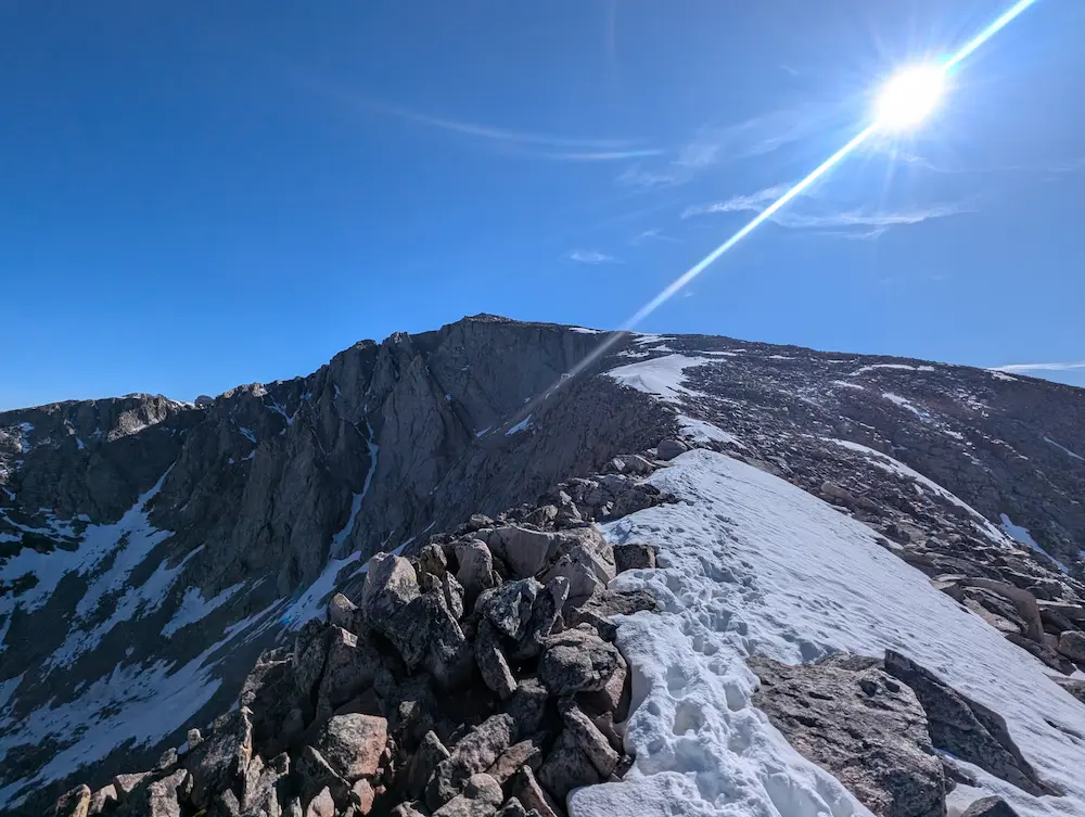
About a mile from the top, the broad southwest slope draws together into a sharp, prominent features known as the Narrows. This stark ridgeline forms the obvious highway to the summit block, serving up immense views of Cloud Peak's vertical west face and a sweeping expanse of high peaks stretching to the north. A final stretch of slow, deliberate rock-hopping brings you to the broad summit, where the views explode with dramatic exposure to the east.
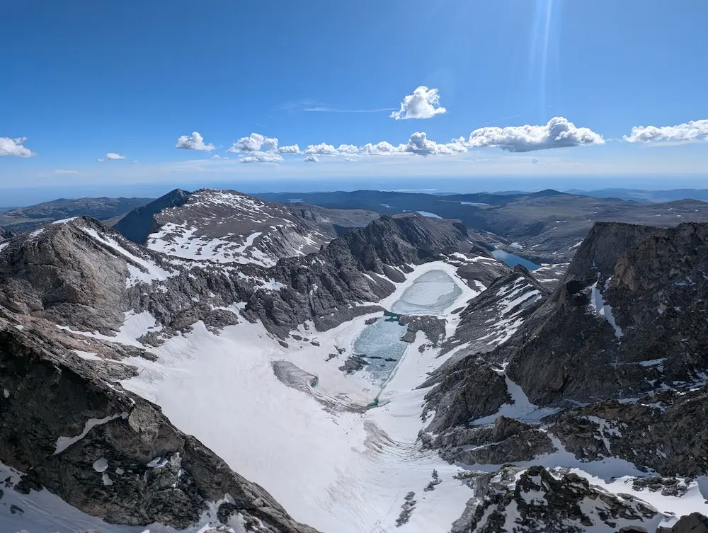
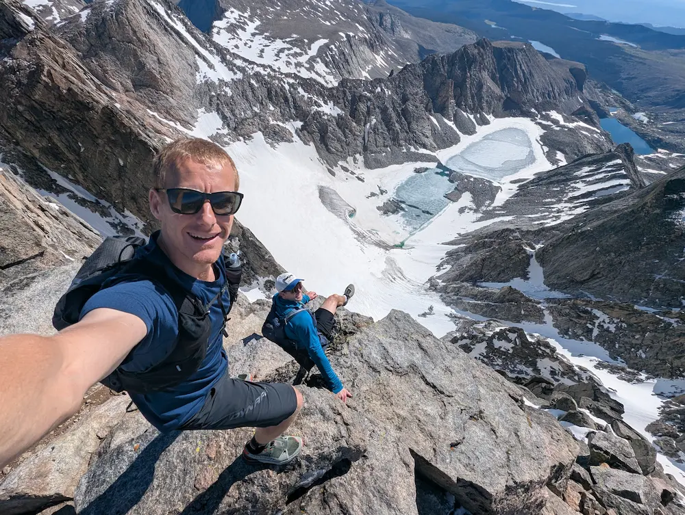
The Cloud Peak Glacier sprawls out directly below, melting turquoise-blue water into Glacier Lake. To the south, the massive ramparts of Bomber Mountain stand tall on the horizon, while to the north, the sharp, jagged teeth of Black Tooth Mountain immediately catch your eye. Far below in every direction, the distant prairie towns of Wyoming fade into the horizon.
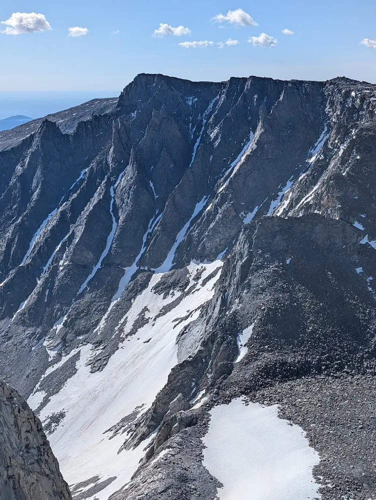
Luke and I spent a considerable amount of time on the summit, eating lunch and enjoying a warm, perfectly windless day. We kept stepping up to peer over the tremendous walls of the East Face—the exposure is incredible, dropping away as a clean, 90-degree shelf. I took nearly 40 pictures trying to capture the sheer expanse below, but it’s a scale that defies a camera lens. We left our mark in the summit register, reading through accounts of hikers who had stood in the exact same spot just twenty-four hours prior.
We walked around the broad summit plateau in a few different directions to soak in every angle of the scenery before beginning the long descent back to Mistymoon Lake. On our way down, we passed countless backpacking parties grinding their way up. Almost everyone else had camped at one of the lakes along the trail; our early-morning departure meant we must have run right past their tents while they were still asleep.
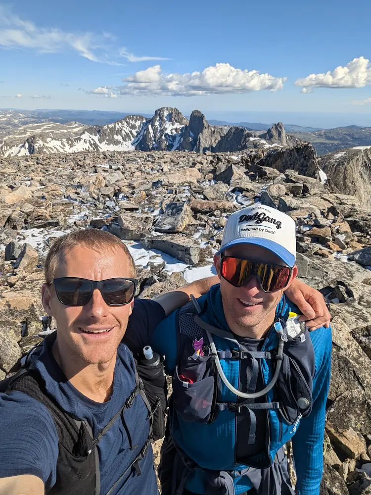
The route back down through the boulder fields is slow, technical navigating, though the line of sight is relatively straightforward. We passed several ascending groups who asked about distances and the route ahead, but there was little specific guidance to offer in the face of such open terrain. Sustained effort and encouragement are all it takes. Once we clicked back into the main trail at Paint Rock Creek, we picked up the pace, transitioning from a swift hike into a smooth run for the final few miles. The trail traffic was heavy, including pack animals and hikers heading in for the busy Fourth of July weekend.
Back at the trucks, parking was non-existent and cars were beginning to line the access roadway. While there are no reservations or use fees required for this wilderness outing, you do need to fill out and carry a free registration permit available right at the trailhead.
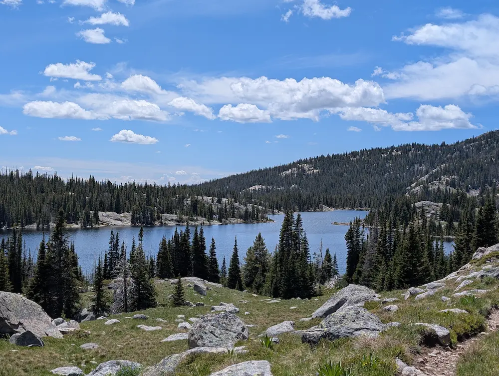
Luke and I cooked some lunch at our tailgates, talked through future mountain plans, and parted ways for our respective six-hour drives home. I greatly appreciated his willingness to jump on a last-minute wilderness mission, and I'm already plotting the next one. Tracking these alpine routes has me constantly saving maps and scheming for precious summer weekends. My spare moments are no longer just spent daydreaming about bucket-list ideas left in a "someday" bucket; they're actually hitting the calendar and the road. What a time and place to savor. Onward!
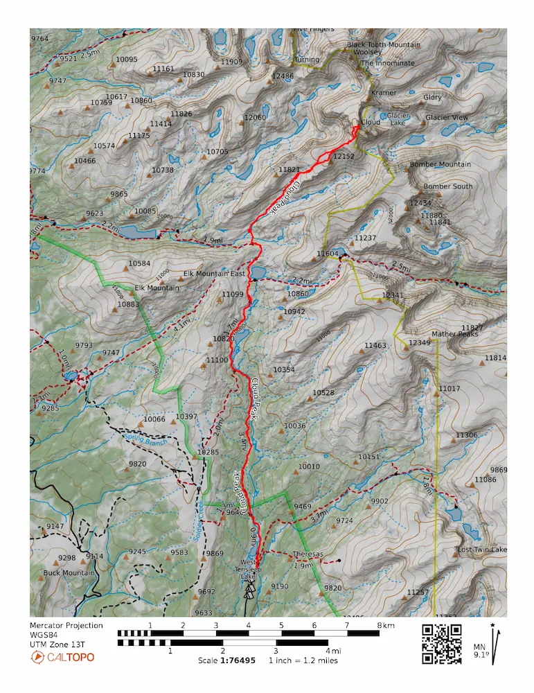
🗺️ Line of Travel:
West Tensleep Lakes Trailhead ➔ Mistymoon Trail ➔ Mistymoon Lake ➔ Solitude Loop Trail (Westbound) ➔ Paint Rock Creek Trail ➔ NE Heading Boulder Scramble ➔ Cloud Peak (13,171 Feet) ➔ Retrace Route
📍Beta:
There are logs for the first creek crossing at mile 1.1 - keep an eye out on the left for this spot as the trail goes to the water crossing for animals. At Mile 7.6 the route to Paint Rock Creek splits off to the north. There is an established trail, but the turn is unmarked. Early July snowpack was easy to travel on top of in the morning, but was a post-hole affair in the afternoon.
📊 Route Stats:
- Distance: 23.41 miles
- Elevation Gain: 5,676 feet
- Moving Time: 6:30:58
- Elapsed Time: 9:11:45
- Average Pace: 16.42 / mile
👟 Gear List:
- Shoes: Dynafit Ultra Pro 2
- Pack: Black Diamond Distance 12 Pack
- Water: Katadyn BeFree Water Filter Bottle

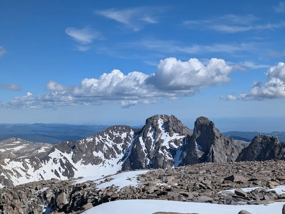
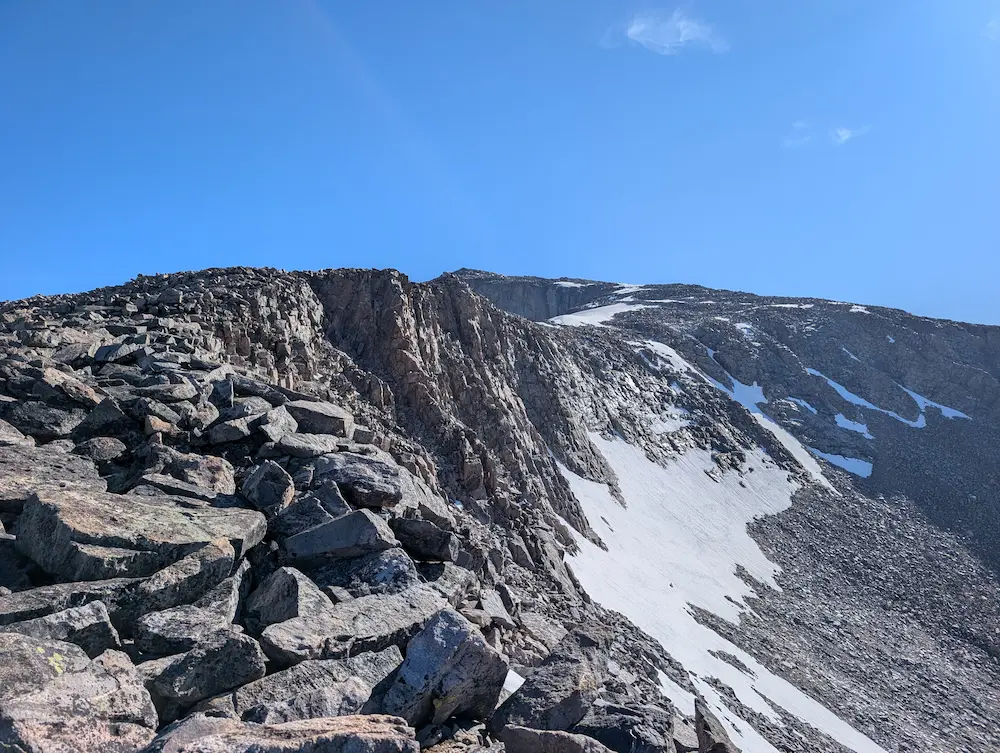
Black Tooth Mountain, Edge of Cloud Peak, Cloud Peak Narrows
Member discussion: