
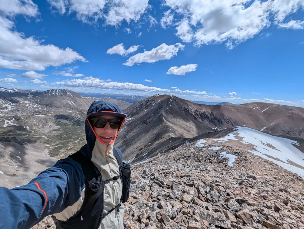
Trip Report 6/10/26
Pike National Forest
It feels a little surreal to have completed my first full range of the 14er quest. What started as a lone, cold run up Quandary Peak back in November has officially come full circle in the Mosquito Range. The grand finale was the famous DeCaLiBron loop: a high-altitude tour that links three official 14ers (Democrat, Lincoln, Bross) and one unofficial ridge line (Cameron) in a single, sweeping alpine bowl.
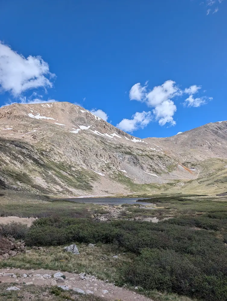
The day didn't start exactly as planned. Road construction cut my drive short, adding an unexpected 1.25-mile road jog just to reach the Mount Democrat trailhead. But once the climbing began, the rhythm took over. Moving clockwise, the trail switchbacks efficiently up the steep face of Democrat before dropping onto a massive, high-altitude highway. From there, you cross the broad, smooth saddle of Mount Cameron—which sits just short of the 300 feet of prominence needed for official status—and press quickly onward to the sharp top of Mount Lincoln.
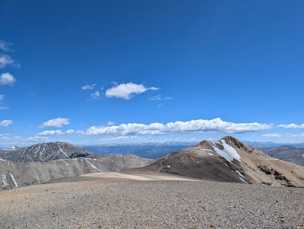
The history up here is thick. Like Mount Sherman, this terrain was built on the silver boom and Civil War-era politics, named by fiercely loyal Union miners looking to honor their party leaders. That history is still alive today in the form of active mining claims, which creates a unique modern dilemma on the final peak of the day: Mount Bross.
Private property lines restrict access to the very top of Bross. The trail explicitly routes hikers along the Prospect road, missing the true summit by only a few hundred feet. While it's always a bit frustrating to leave a loop technically un-summited, skipping the peak is the only ethical way to protect access for the rest of the community.
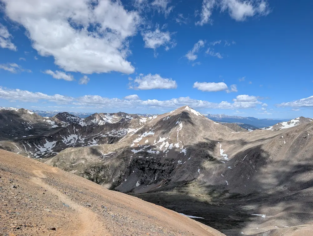
From the Bross bypass, the route shifts into a fast, loose, scree-sliding descent that drops like a stone back toward Kite Lake. After a quick bit of bushwhacking to avoid the construction crews down in Buckskin Gulch, I closed the loop right back at the vehicle.
The Mosquito Range might be known as one of the state's more accessible chains, but running these ridges leaves no doubt about its worth. With one range checked off, the motivation is high as I pack up and point the car toward the Front Range.
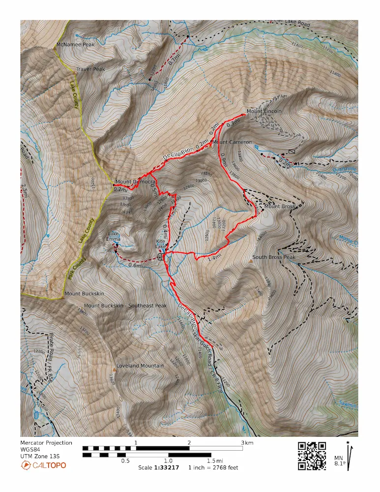
🗺️ Line of Travel:
Buckskin Gulch Road or Kite Lake Trailhead ➔ Mt. Democrat Trail ➔ Mt. Democrat ➔ Cameron Ridge Connector ➔ Mt. Cameron ➔ Mt. Lincoln ➔ Prospect Road ➔ Mt. Bross Trail ➔ Kite Lake Trailhead or Buckskin Gulch Road
📍Beta:
Buckskin Gulch Road is currently under construction. Park at the closed signs. There are several payment spots and waivers to do. Much of it doesn't work or has no envelope to pay. Trail users are asked to bypass the summit of Mt. Bross on the Prospect Road. Route finding was straightforward.
📊 Route Stats:
- Distance: 10.08 miles
- Elevation Gain: 4,908 feet
- Moving Time: 2:42:42
- Average Pace: 16.08 / mile
👟 Gear List:
- Shoes: Dynafit Ultra Pro 2
- Pack: Black Diamond Distance 12 Pack

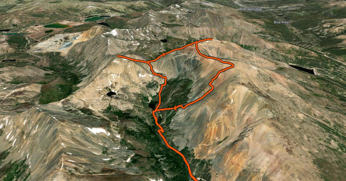
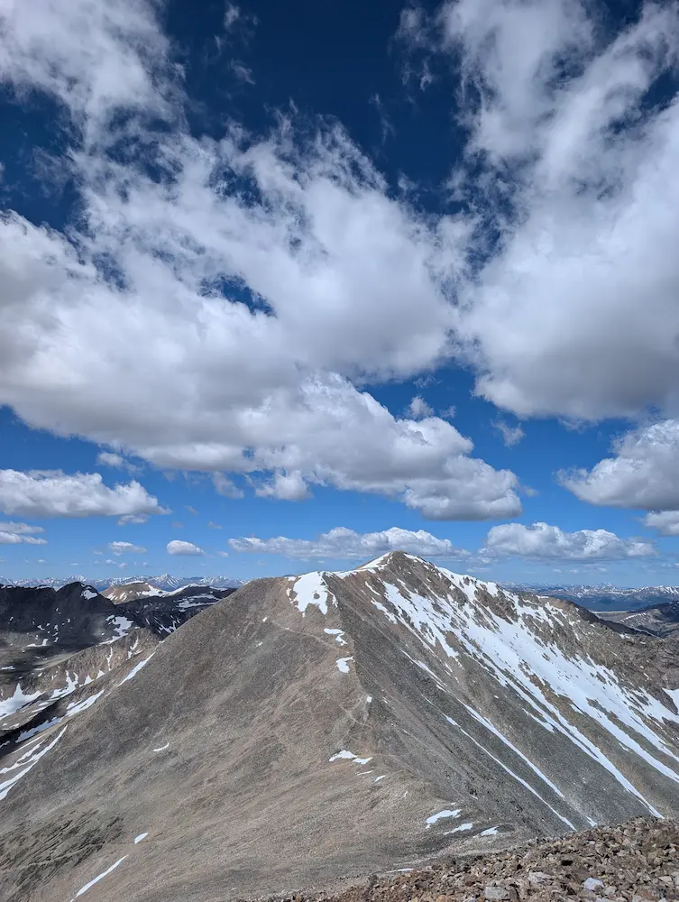
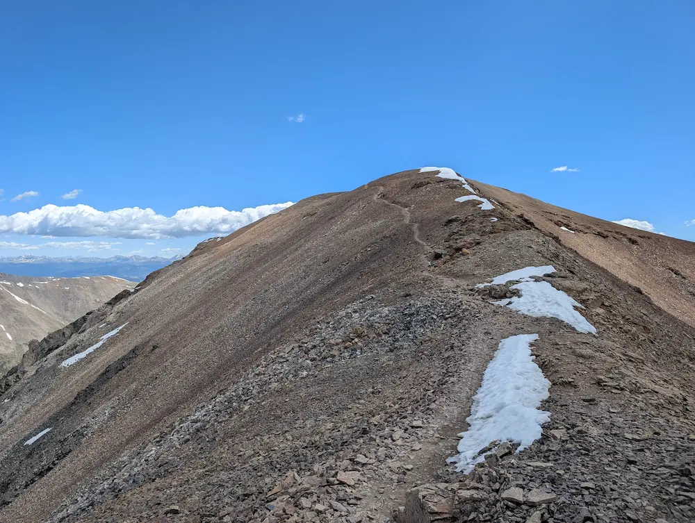
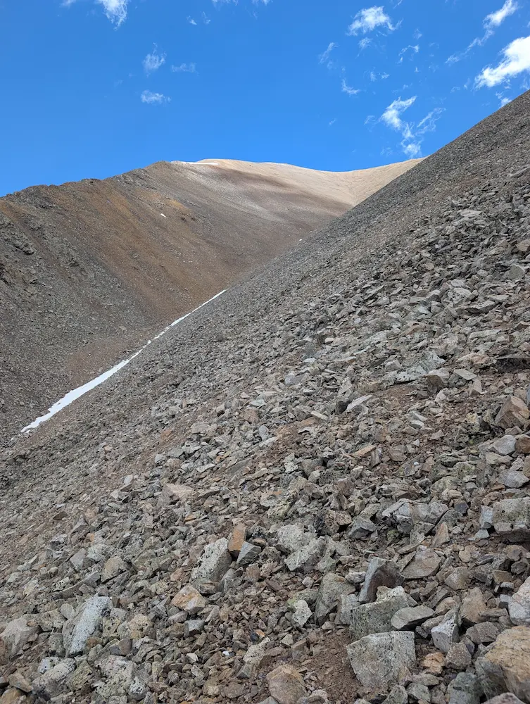
Mt. Democrat, Mt. Cameron, Mt. Bross Descent
Member discussion: