
Trip Report 9/2/2023:
Pinedale, Wyoming
A Midnight Departure
The power of the Wind River Range was in full force for this epic day in the Fitzpatrick Wilderness. Motivated and shared by my friend Wyatt, this run was completed with 150,000 steps, 10,500 vertical feet, and 44 miles in a single 16-hour push. Spending almost the entire day above 10,000 feet, this trip was humbling in scale and scope. It was also wildly empowering, with seasons of personal effort culminating in a lifelong achievement of summiting the highest point in our home state of Wyoming.
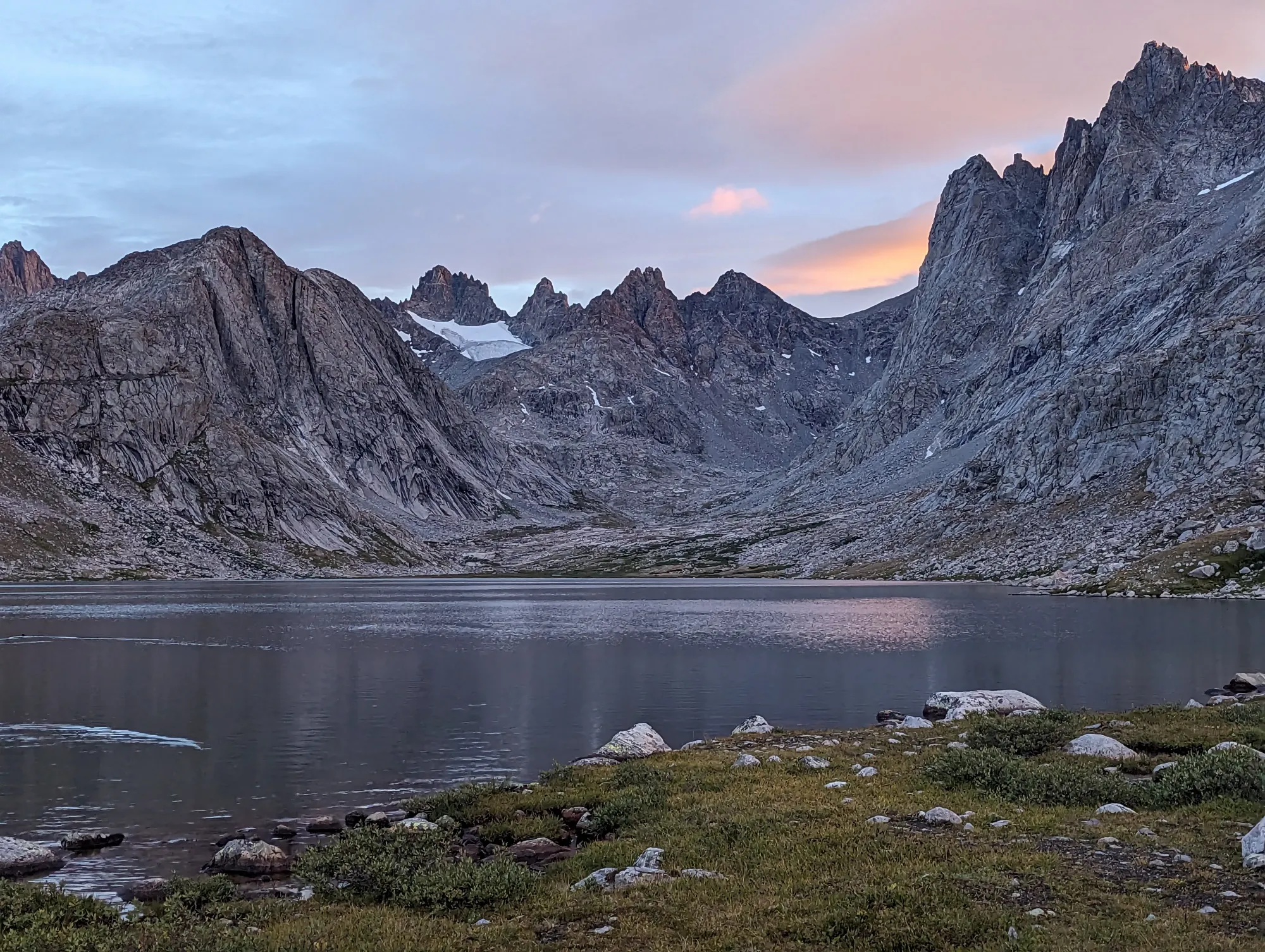
A 1:00 AM departure from Jackson put us on the trail at Elkhart Park by 3:00 AM in pitch darkness. September temperatures were cool, and there was a distinct dampness in the air as we trucked our way towards Titcomb Basin. We held a decent pace despite overloaded running vests and a fair amount of navigating at dark trail junctions.
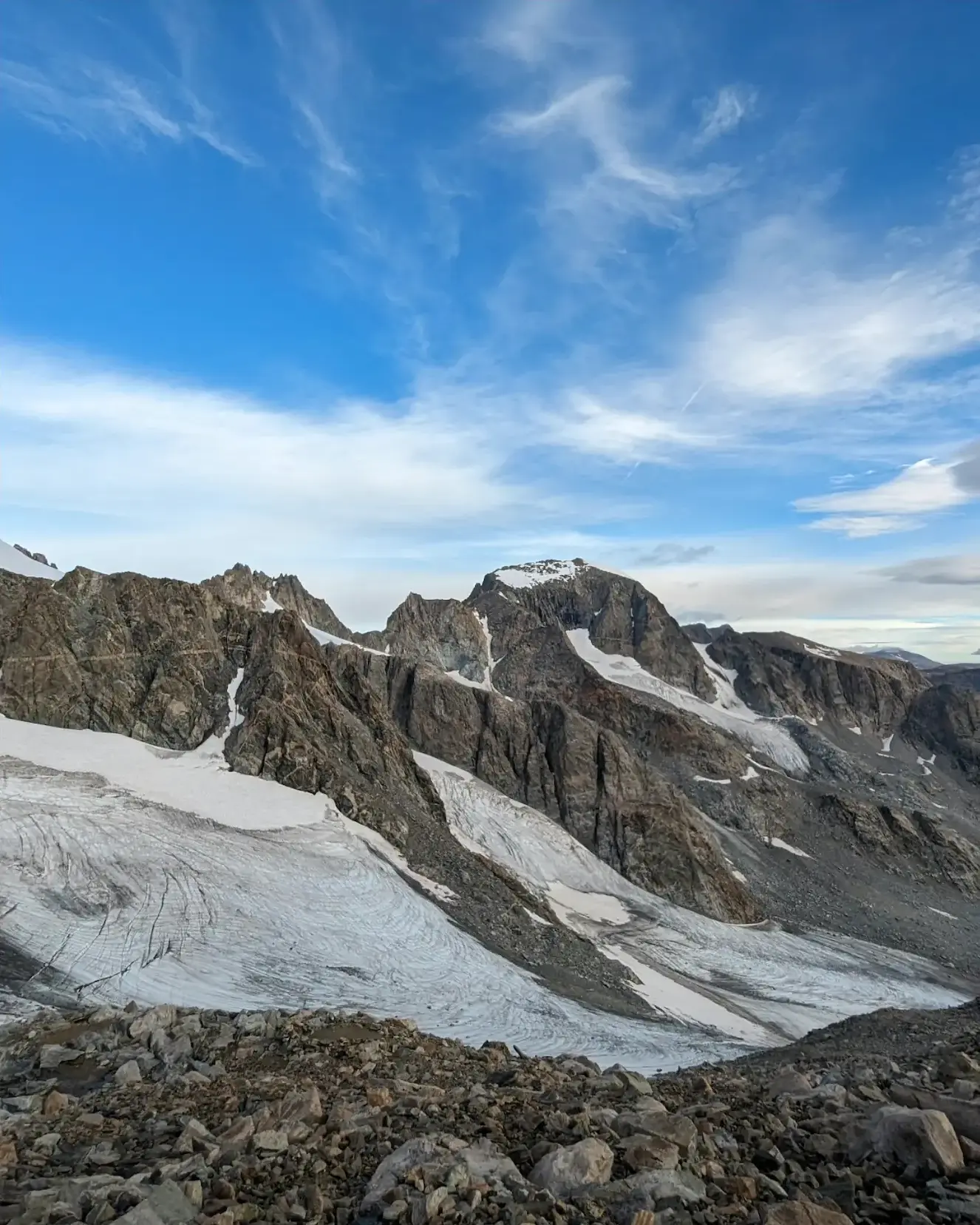
Approximately 3.5 hours and 17 miles later, we reached the far end of the Titcomb Lakes, where the tone of the adventure shifted dramatically from trail running to slow, trail-less mountain travel. Dinwoody Pass loomed ahead with a loose talus climb topping out at 12,800 feet. From the crest of the pass, we caught our first look at Gannett Peak.
Into the Dinwoody Basin
Nestled deep in ice, this peak is seldom seen from the valley, where it is obscured by the Wind River mass of high peaks. The amount of ice and snow for September was deeply impressive—it turns out the Wind Rivers are the most heavily glaciated mountains in the US Rockies. We took our time soaking it in before descending into the Dinwoody Basin towards Gannett.
Water was refilled from meltwater running cleanly off the glacier before we headed up the Gooseneck Glacier towards the summit. Gaining the ridge line from the Gooseneck is where the bergschrund lies. This frequently cited crux was easily passed on this day, perhaps made easier by a very strong snow year. Alternatives could have been made on the rock surrounding this snow climb, which was how we ultimately chose to descend.
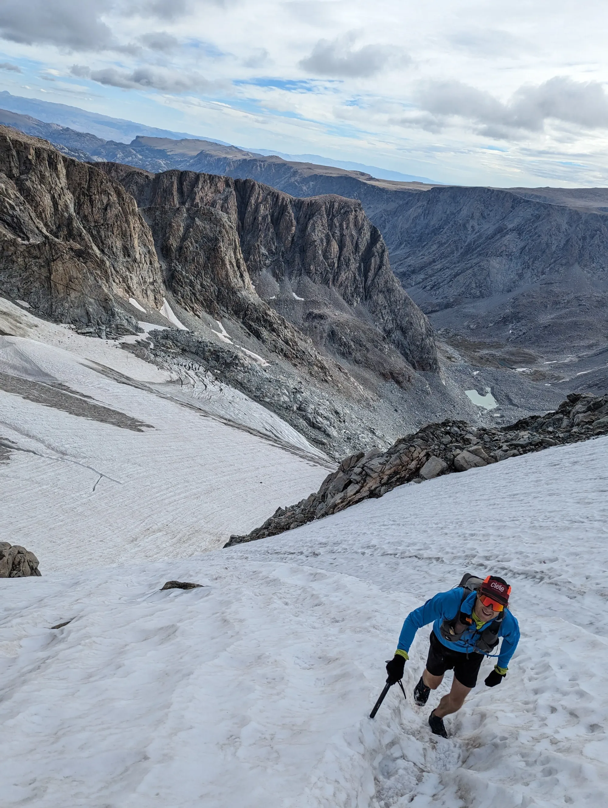
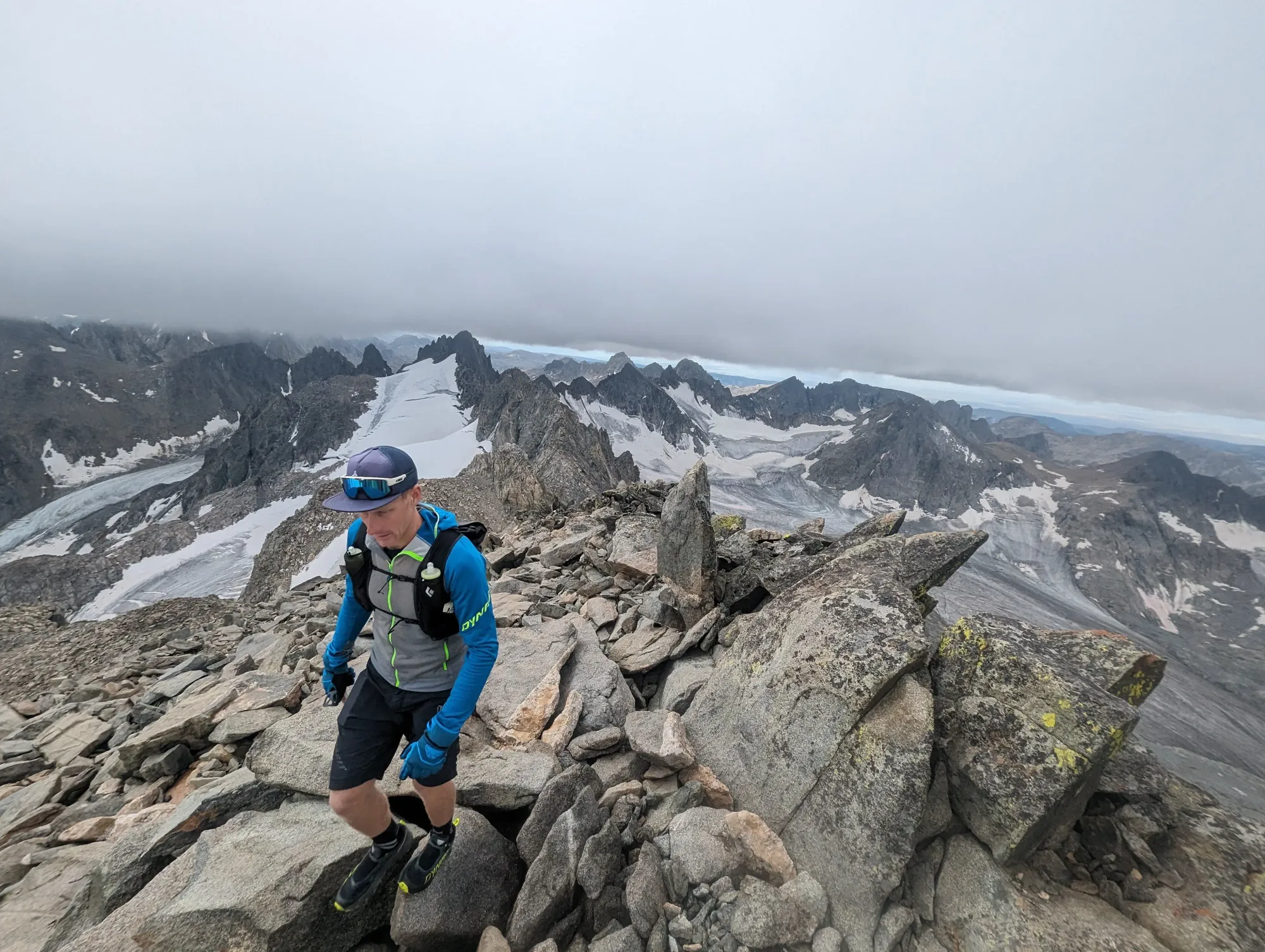
Traction spikes were mandatory for this glacier travel. We also carried light ice axes; while not strictly mandatory under these conditions, they saved us from some incredibly uncomfortable, exposed climbing above the bergschrund. As we found our way across the ridge to the summit, cloud cover arrived, spoiling our panoramic views.
The summit of Gannett sits at 13,804 feet edging out the Grand Teton by just 29 feet. While the Grand Teton comes close in height to Gannett the vast majority of high peaks find their home in the Wind River Range. Of the 35 highest peaks in Wyoming 30 of them are in the Wind Rivers with only a couple high points in the Tetons and Big Horns making the list. Maybe on the next summit attempt we will be able to see full views of all that the range has to offer.
The Long Shuffle Out
The cloud cover persisted through most of the day as we worked our way back down from the summit. The feeling of isolation was heavy, as was the understanding of just how much effort was still left in the day. The distances in the Wind River mountains completely dwarf those of the Tetons, where most of my lifetime running and climbing has occurred.
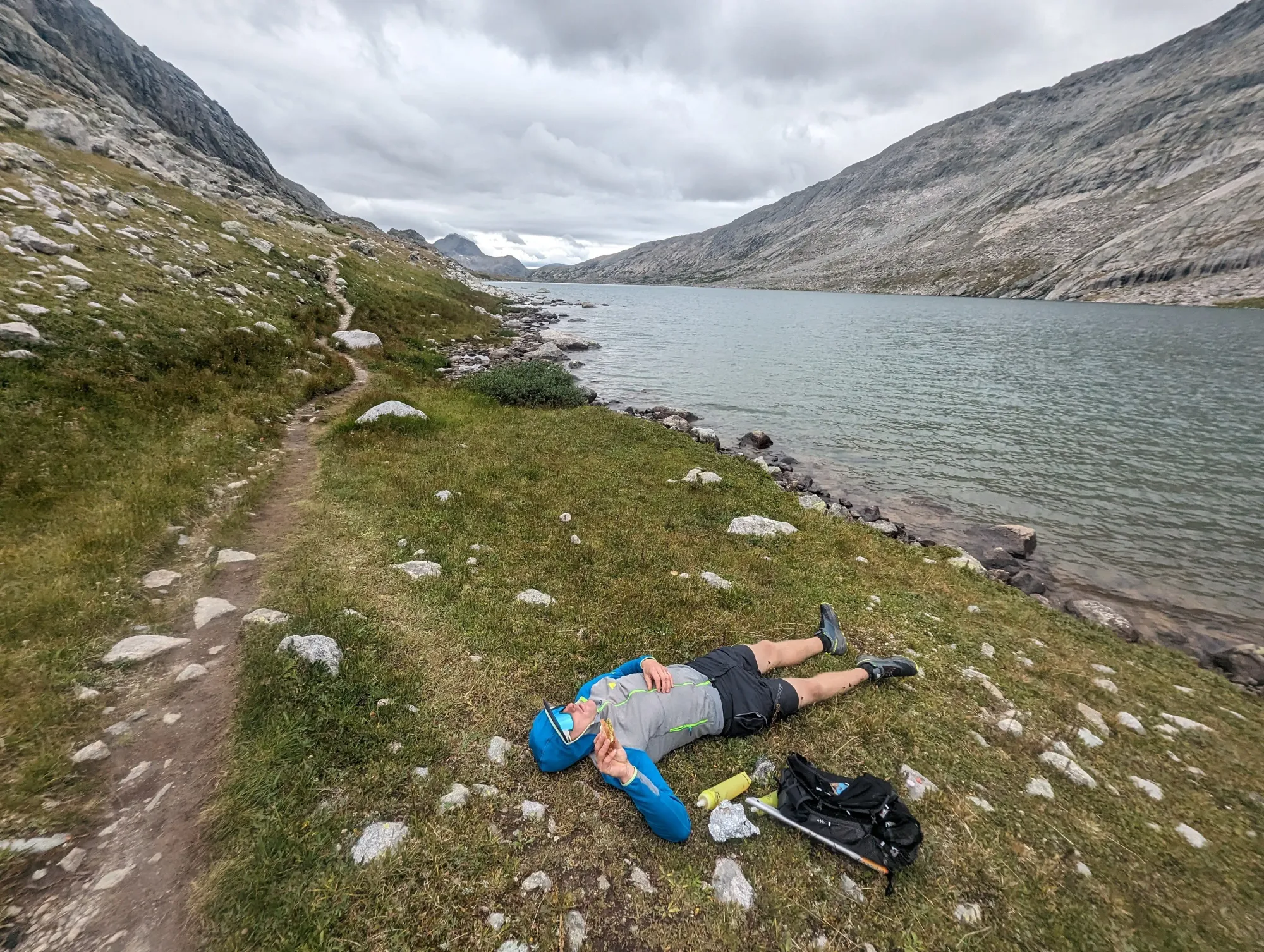
Once back on the regular trail system at Titcomb Lakes, we took a big rest and water stop to prep our minds and bodies for the long run back to Elkhart. The midday cloud cover burned off as we worked our way out, shuffling a steady 12-to-15-minute mile pace.
I felt surprisingly good on the way out. Running like this really clears the mind and gives you a singular sense of purpose, which is a welcome relief in this day and age. Somewhere around 7:00 PM, we arrived back at the vehicle to start the drive home. This was the biggest physical output for either of us, and our satisfaction was high.
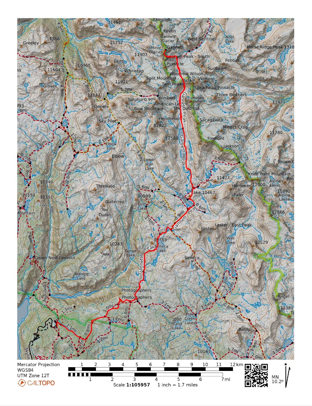
🗺️ Line of Travel:
Elkhart Park Trailhead ➔ Pole Creek Trail ➔ Seneca Lake Trail ➔ Continental Divide Trail (CDT) ➔ Titcomb Basin ➔ Dinwoody/Bonny Pass (Off-Trail Begins) ➔ Dinwoody Glacier ➔ Gannett Peak Trail ➔ Gooseneck Glacier ➔ The Bergschrund ➔ Summit Ridge ➔ Gannett Peak Summit.
📍Beta:
The off-trail mountaineering section climbs Dinwoody/Bonny Pass out of Titcomb Basin. Descend onto Dinwoody Glacier, cross, and follow the sporadic Gannett Peak Trail up onto the Gooseneck Glacier. Gain the ridge line to the summit on the snowfield below the Gooseneck Pinnacle. If the bergschrund opens up significantly in late summer or low-snow years, it can most likely be bypassed with 5th-class rock climbing on the surrounding rock.
📊 Route Stats:
- Distance: 44.44 miles
- Elevation Gain: 10,587 feet
- Moving Time: 11:04:20
- Total Elapsed Time: 16:42:39
- Average Pace: 14:57 / mile
👟 Gear List:
- Shoes: Dynafit Ultra 100 GTX
- Spikes: Black Diamond Distance Spike
- Ice Axe: Petzl Ride
- Pack: Black Diamond Distance 15
- Water: MSR Trailshot Pump

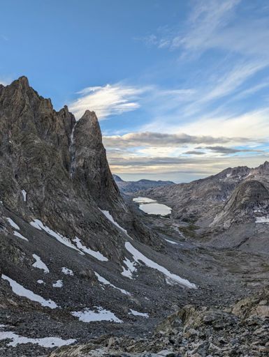
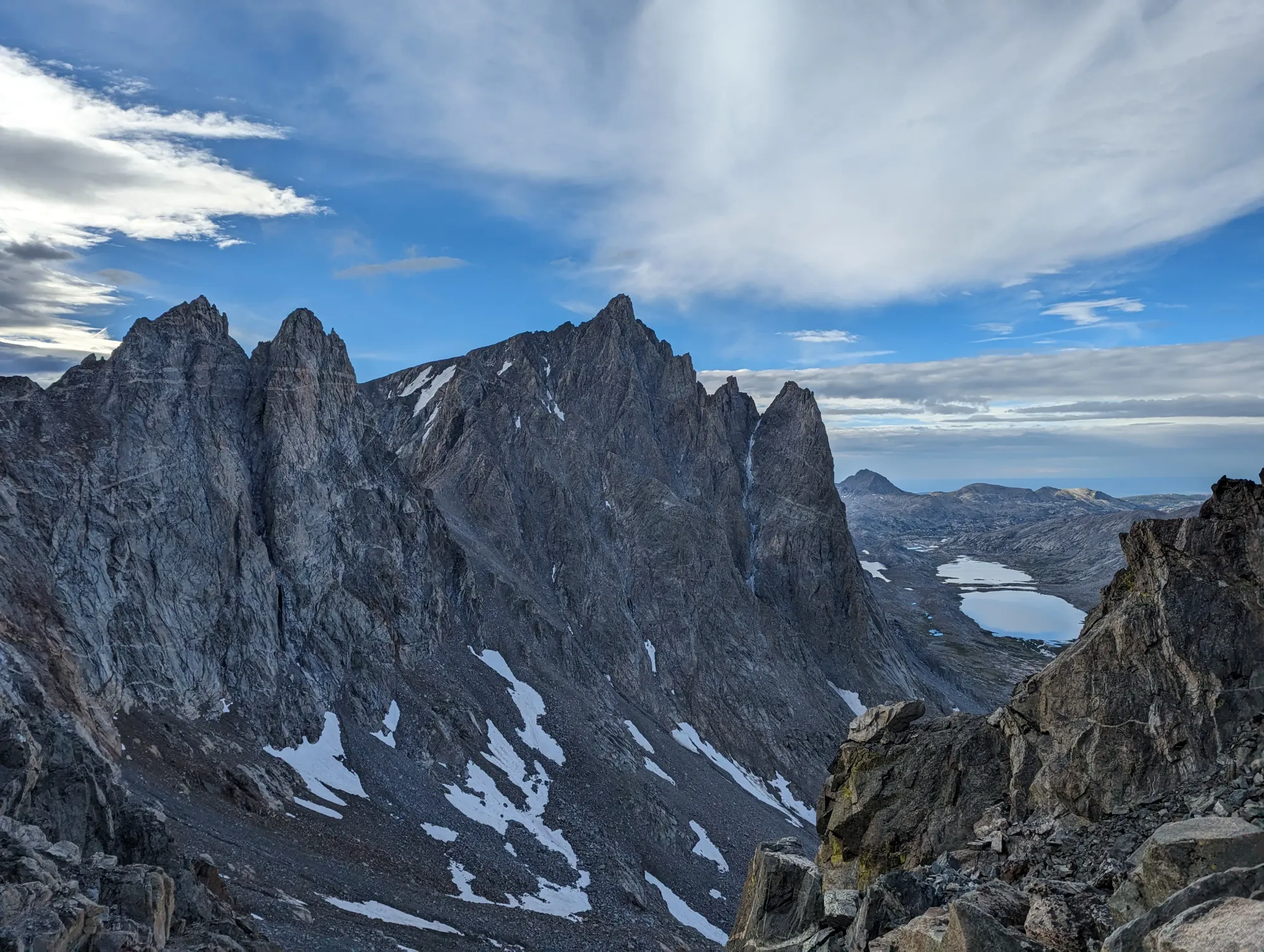
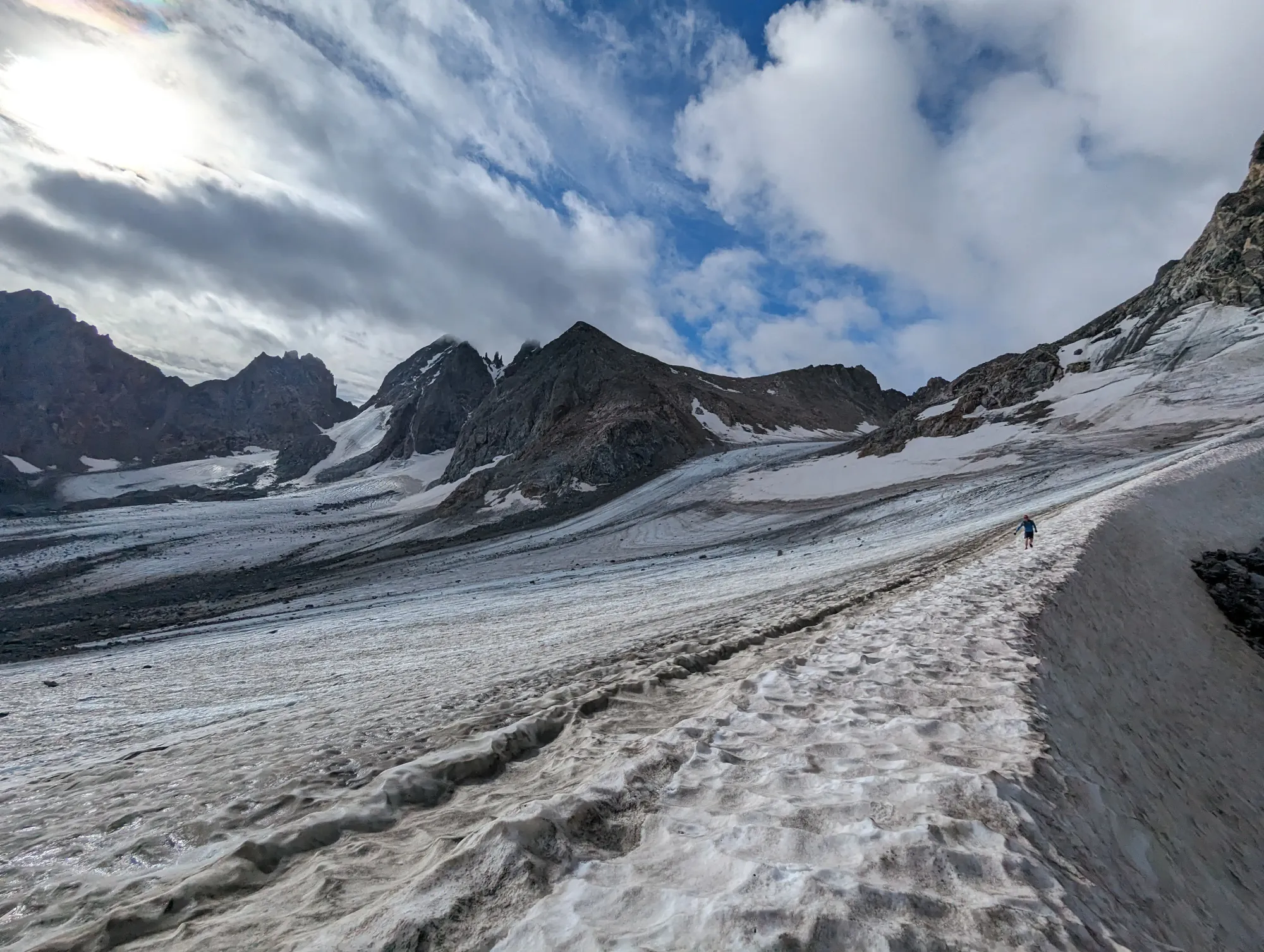
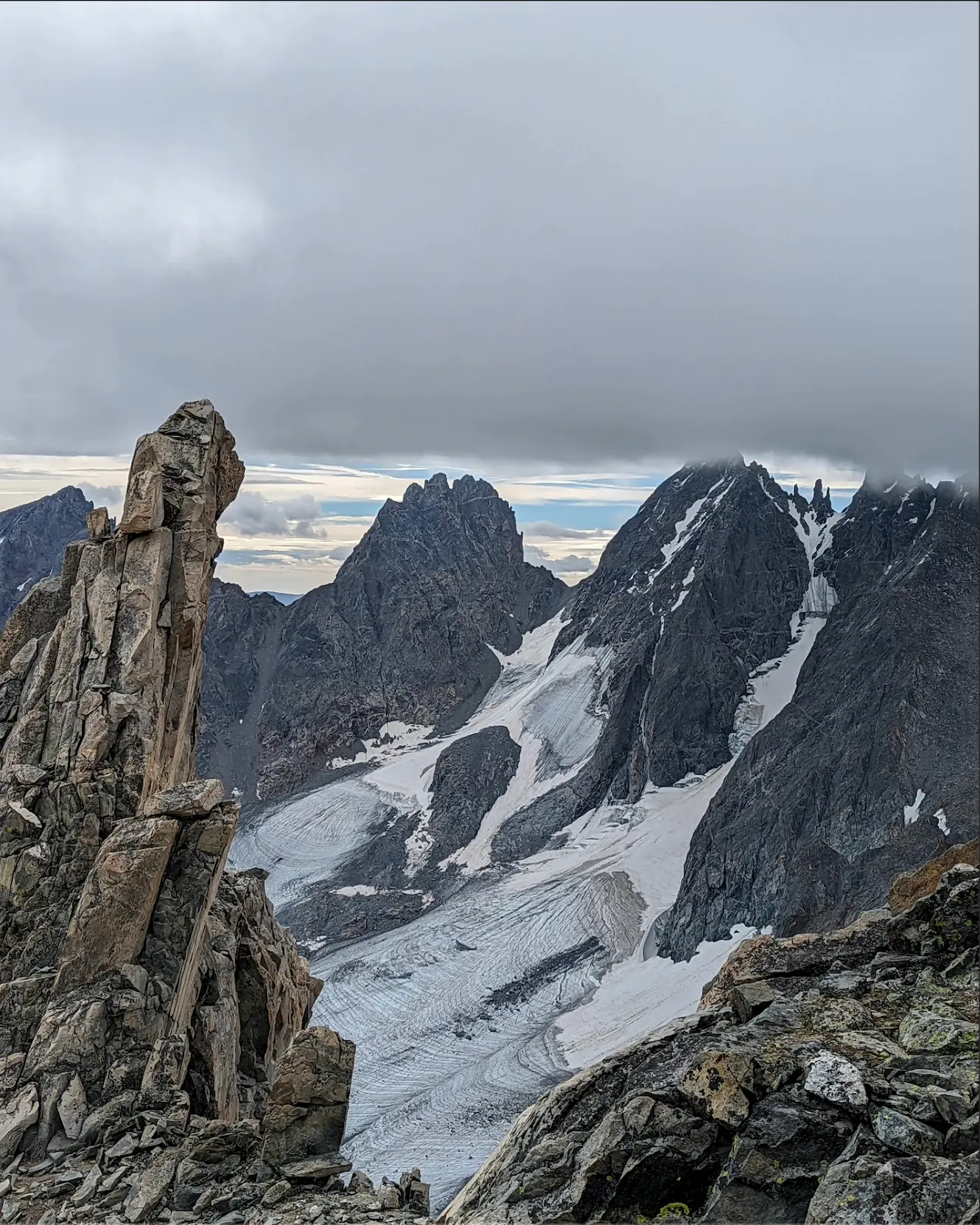
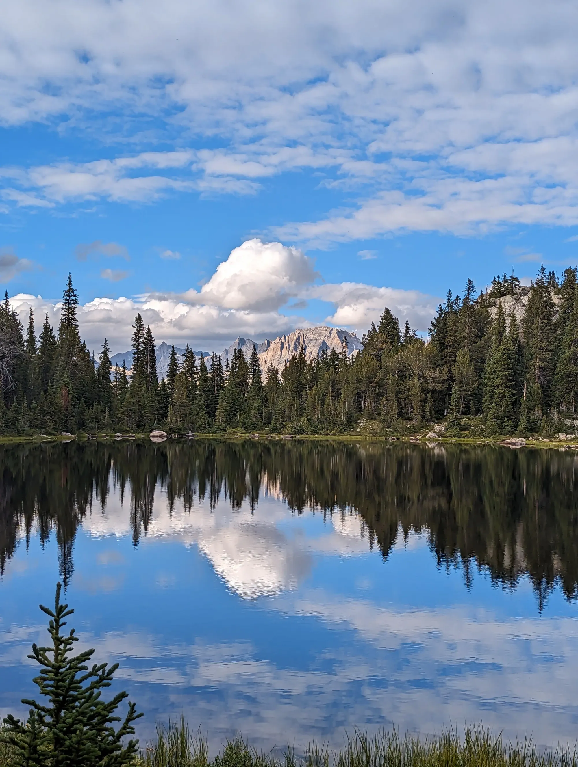
Mt. Helen from Dinwoody Pass, Dinwoody Glacier, Goosneck Pinnacle, Barbara Lake and Fremont Peak.
Member discussion: