
Trip Report 8/17/2025
Yellowstone National Park
Designated as our nation's first national park, Yellowstone encompasses nearly 2.2 million acres of wilderness packed with forests, geothermal basins, alpine lakes, and thick summer crowds. Beyond the main motor loops and roadside attractions sits a vast backcountry that only a handful of trail runners, backpackers, and Continental Divide Trail thru-hikers see each year.
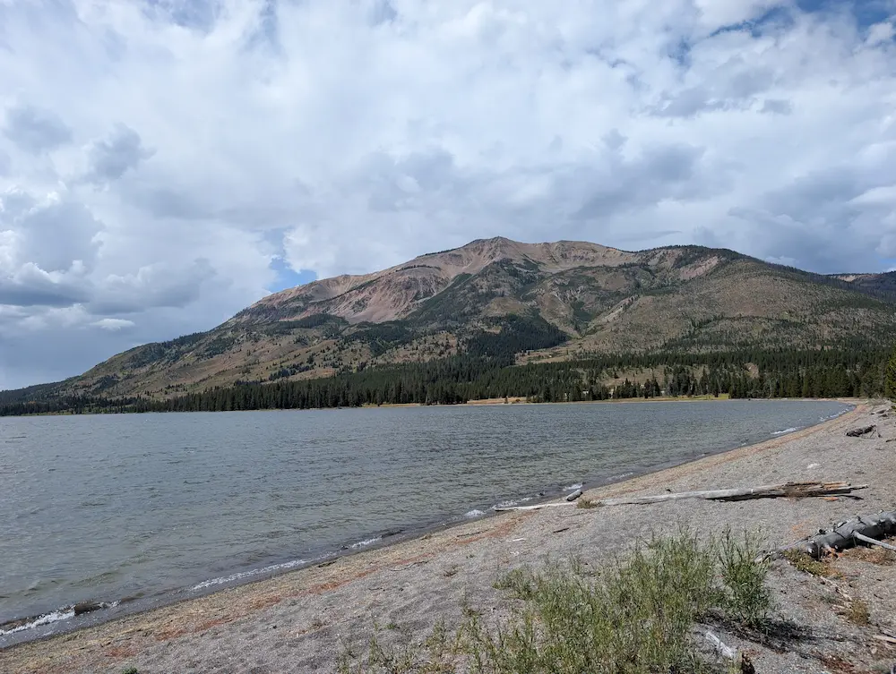
The southern entrance of Yellowstone sits just an hour north of my home in Jackson, and I have made a deliberate effort over the last two seasons to venture beyond the popular roadside stops. Judging by the family road trips of my youth, much of the park seemed like endless pine trees with little between the major geyser basins. Two years of focused exploration have proven otherwise. Open minds, strong legs, and clear summer days have taken me to incredible backcountry landscapes that most visitors simply drive right past.
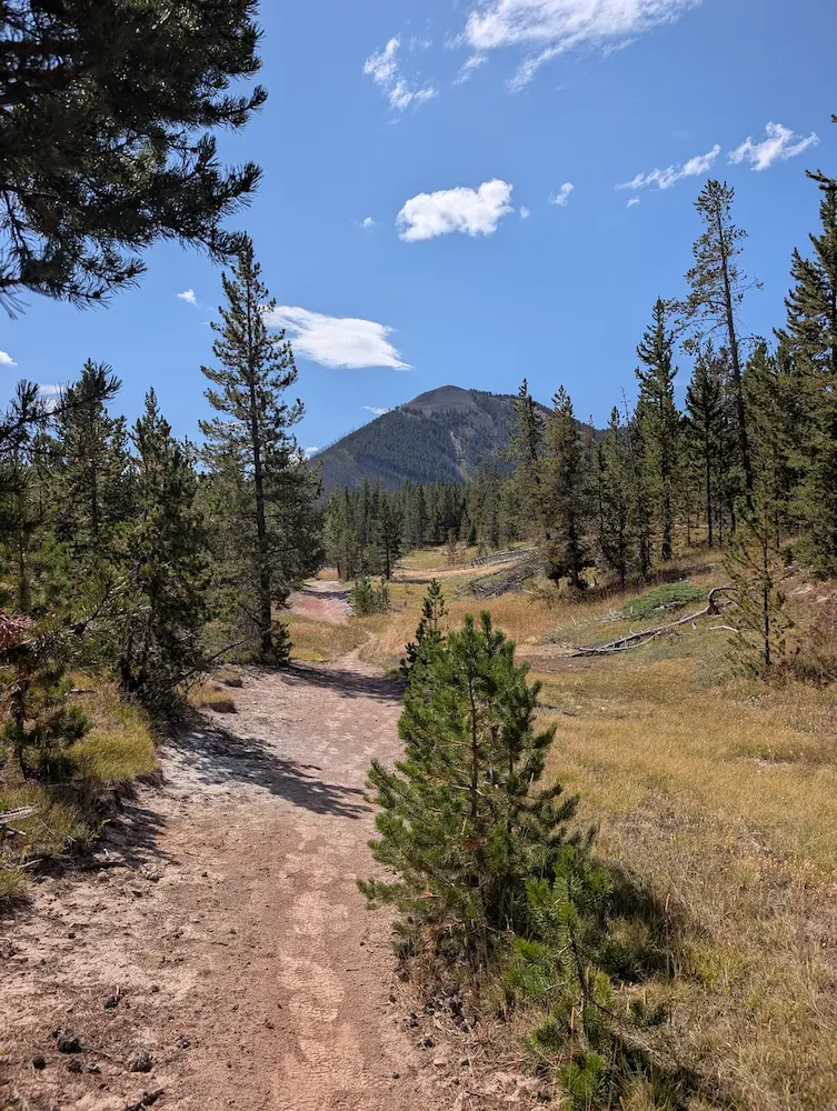
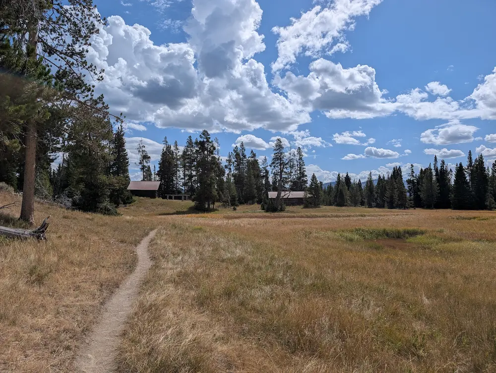
Heart Lake and Mount Sheridan are two of these standout backcountry destinations. Initial expectations leaned toward long tree tunnels and big mileage with limited views across flat grizzly country. Chancellor joined me for this outing, as our pacing, fitness, and expectations seem to line up. We drove up for the day and started from the Heart Lake Trailhead just north of Lewis Lake. It was August 17, 2025, warm, calm, and ideal for running. The first three miles wind through lodgepole pine on exceptionally smooth single track lined with tall green grass.
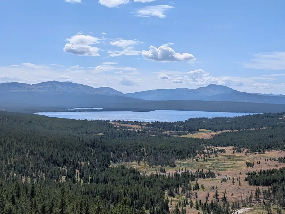
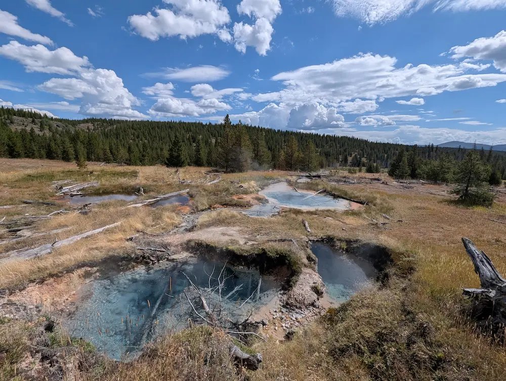
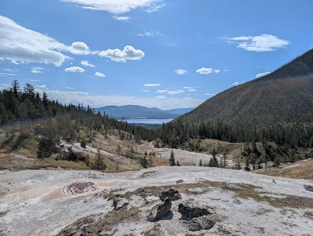
That initial stretch clicked by effortlessly with Mount Sheridan visible above the horizon for most of the approach. As usual, our conversation revolved around winter ski lines, our minds wandering to future objectives. At mile five, the high plateau drops away into the Heart Lake Basin, where dense forest opens into the Heart Lake Geyser Basin. Discovering this active geothermal area was a total surprise and one of the day's finest highlights. Two trails split at the basin overlook before rejoining below, and we stayed on the primary CDT route. Several thermal features sit right alongside the trail, including vibrant blue pools that are worthy destinations in their own right.
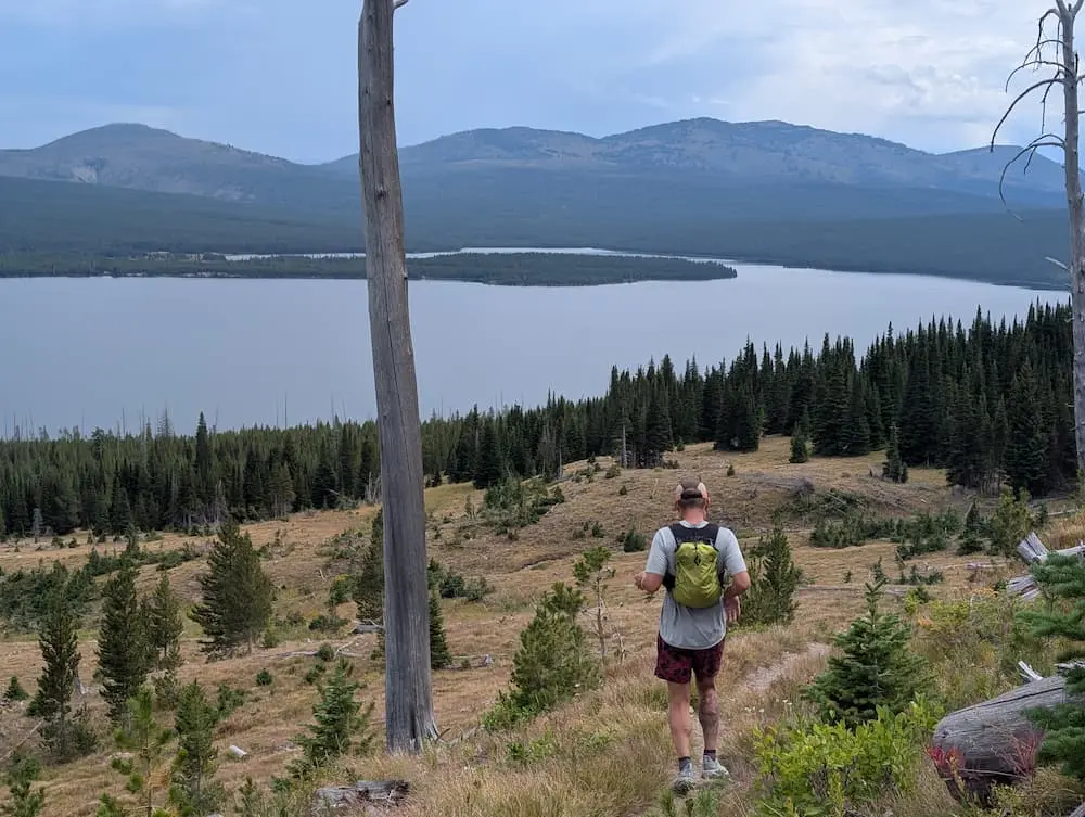
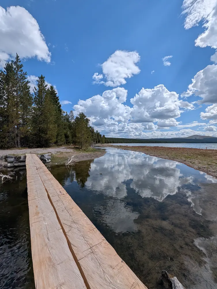
Once through the geyser basin, we passed the Heart Lake Ranger Station, tucked neatly near the shore close to Witch Creek. Just beyond the historic cabins, the trail junctions right on the beach of Heart Lake. Heading left continues along the CDT, while turning right leads toward Mount Sheridan, Heart Lake, and the South Boundary Trail. The first bridge crossed here spans Witch Creek, which proved to be our final water source before the climb. We ate, drank, and filled our flasks for the main vertical push of the day.
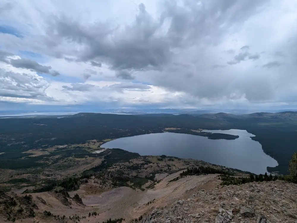
Shortly past the bridge, the Mount Sheridan Trail splits off and begins its ascent. Quick-building thunderheads brought a brief rain shower, prompting us to step under the canopy for a moment of cover. Once the storm cell cleared, we resumed the climb, switchbacking nearly 3,000 vertical feet toward the top. While cloud cover and intermittent rain persisted, the views remained top tier. The rising ridge offers sweeping perspectives of Heart Lake, Yellowstone Lake in the distance, and prominent mountain ranges across the entire region.
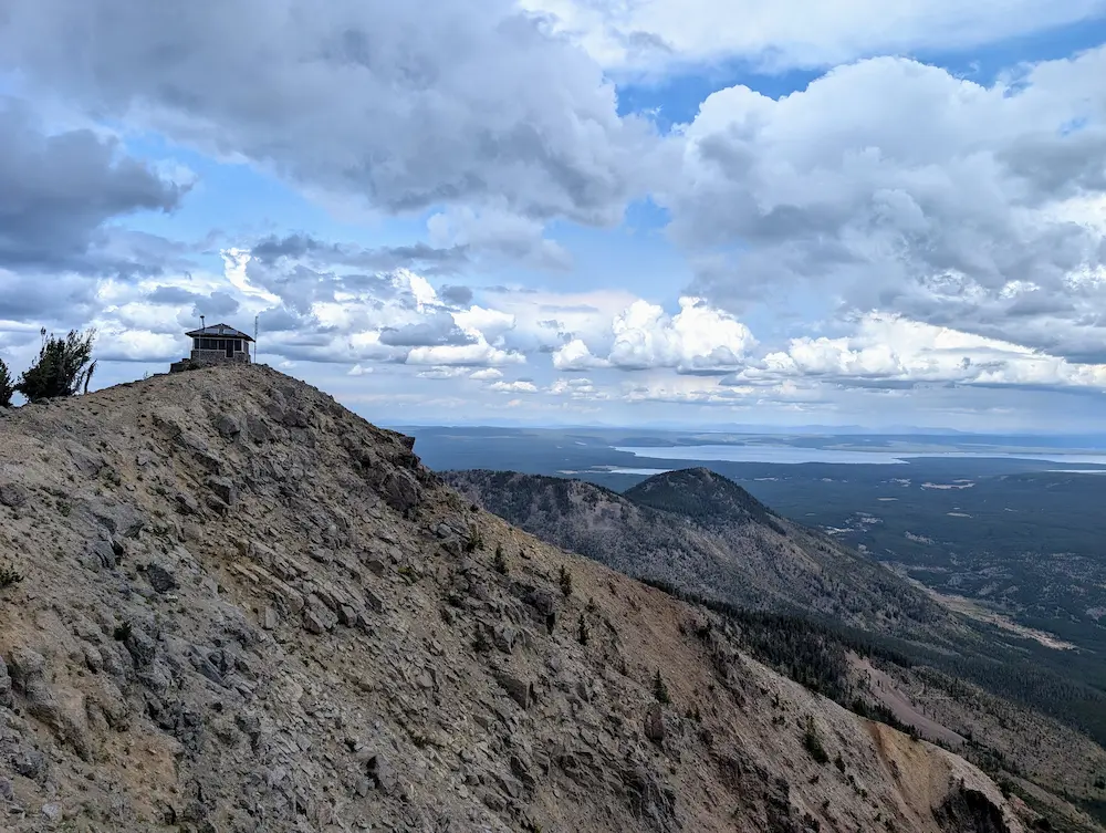
Topping out at 10,285 feet, Mount Sheridan delivers one of the finest vantage points in the park. The summit features a historic fire lookout building that is locked to the public, but remains an impressive structure anchoring the scenic ridge line. We snapped photos, refocused on calories, and started the jog back down the mountain.
The return trip retraces the ascent line down the switchbacks. I checked out a few of the backcountry campsites along the lake shore for future reference before refilling water once more at Witch Creek. The water was warm from geothermal influence, but filtered easily and tasted fine. Reflecting on our initial assumptions, the area proved far more intricate and scenic than the topographic map suggested. The active geysers were a fantastic bonus, and spending a night camping along the shore of Heart Lake is definitely on the radar for the future.
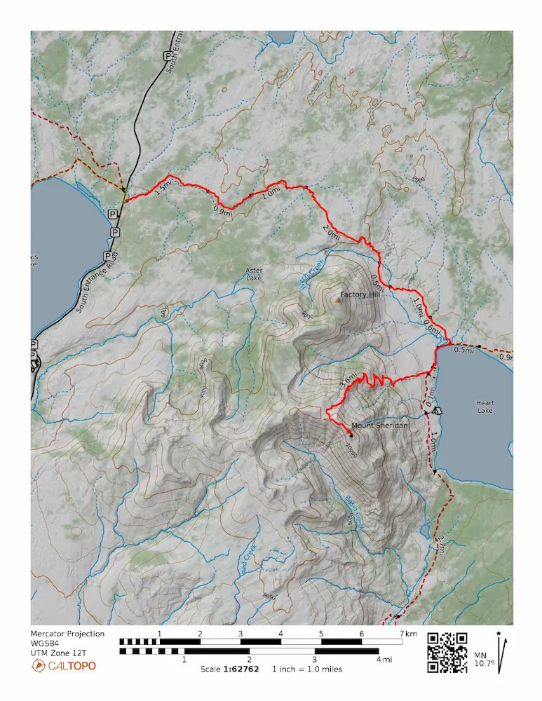
🗺️ Line of Travel:
Heart Lake Trailhead ➔ Heart Lake/CDT Trail ➔ Heart Lake ➔ Heart Lake Trail ➔ Mt. Sheridan Trail ➔ Summit(10,285 feet) ➔ Retrace Route
📍Beta:
This is prime grizzly country. Bring your bear spray and operate accordingly. There are early season closures for Grizzly Bear management that should be checked beforehand. There is no water on the 3,000 foot climb to the summit of Mt. Sheridan. Be sure you have adequate supply before leaving the Lake.
📊 Route Stats:
- Distance: 24.49 miles
- Elevation Gain: 4,406 feet
- Moving Time: 4:41:27
- Elapsed Time: 5:52:15
- Average Pace: 11:29 / mile
👟 Gear List:
- Shoes: Dynafit Ultra Pro 2
- Water: Katadyn Be Free
- Pack: Black Diamond Distance 15 Pack



Member discussion: