
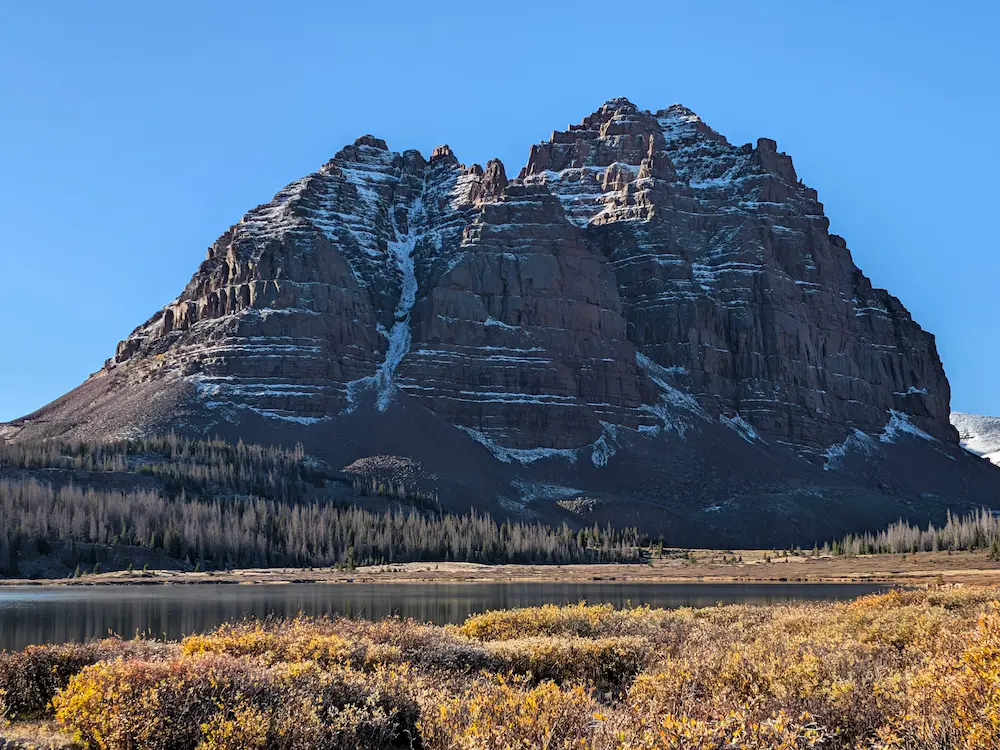
Red Castle Lake and Kings Peak grabbed my attention early in the season following a dry winter in Utah's Uinta Mountains. Eager to get the summer running season underway, I scanned satellite imagery and snowpack databases for high-country terrain that might be clear for an early June push. The Uintas fit the bill, and Strava activity showed early peak-bagging efforts were already underway.
I added both objectives to my summer hit list, though ironically I didn't make it there until the first hard snowfall of the season hit on September 20th. I sacrificed a weekend originally earmarked for Granite Peak in the Beartooths in favor of the Uintas, anticipating warmer and drier weather. Over the summer, my strategy morphed from two separate days in the range into a single massive loop linking the summit of Kings Peak with Lower Red Castle Lake. Combining them added ten miles to the outing, but it avoided back-to-back marathon distance out-and-backs. Linking unique single track is always my preference, and this grand loop maximized new terrain.
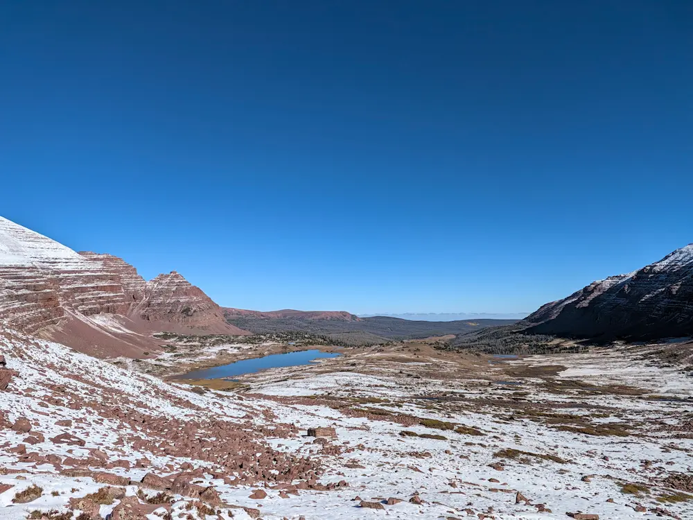
Driving south from Jackson toward the Utah border, torrential rain gradually transitioned to sleet. On the dirt road leading into the China Meadows Trailhead, distant views confirmed the high peaks were already blanketed in fresh snow. I arrived at the trailhead with minimal daylight remaining, greeted by driving sleet and a muddy campsite. Reluctantly, I pitched my tent in the rain and settled in for the coldest night of camping all season. While the forecast promised clear, sunny skies for the morning, the heavy precipitation left trail conditions uncertain.
The forecast held, and the storm cleared overnight. I crawled out of my tent in the dark under a sky packed with stars. Temperatures had plunged, leaving thick frost coating the inside of my tent fly. I methodically prepped for the big day ahead despite the dark and cold. The reward of high-country miles makes those early alarm clocks easier to justify.
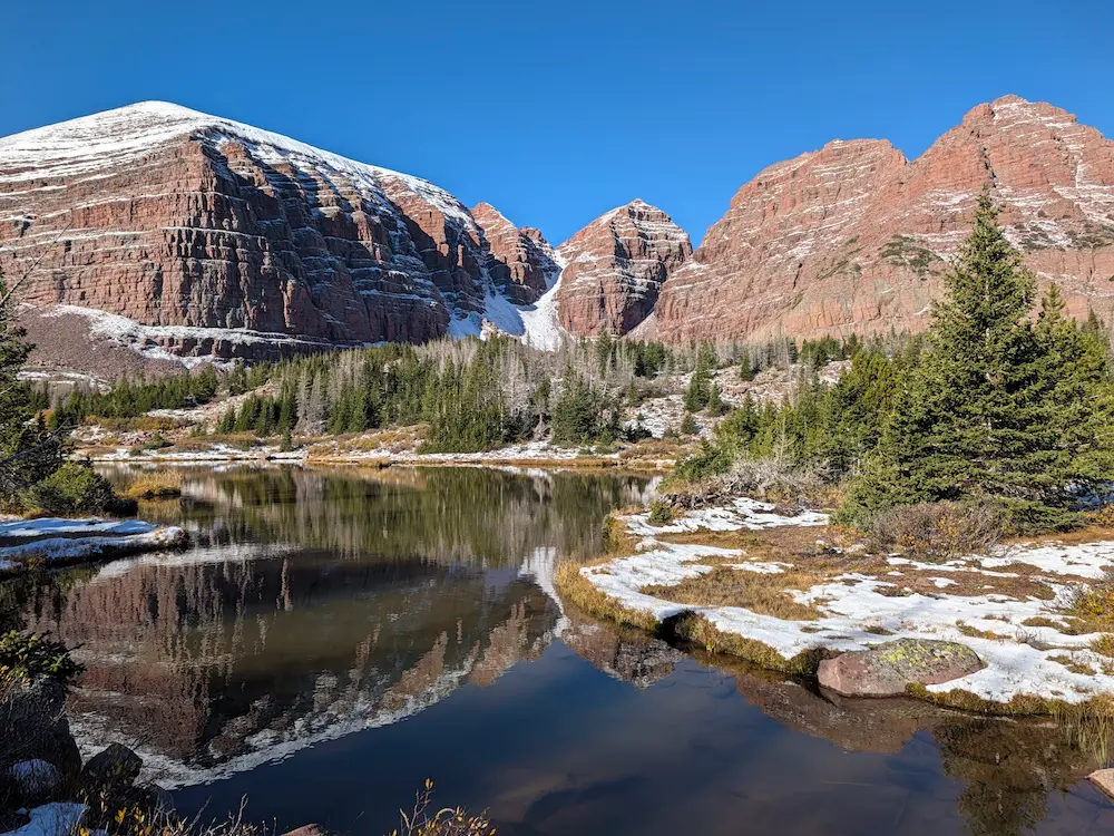
The route begins on the East Fork of the Smiths Fork Trail out of China Meadows. The trail follows the Smiths Fork south, climbing gently for just over nine miles to Lower Red Castle Lake. Several junctions split off along the way, including the cross-over trail from Henrys Fork, where my return route would eventually rejoin for the final four miles back to China Meadows. These early morning miles were cold and muddy, but a lack of vegetation along the trail kept my shoes relatively dry as I reached Lower Red Castle Lake. Here, dramatic views of Red Castle Peak open up right where the main trail splits. I followed the Smiths Fork Trail briefly for photos before backtracking to ascend the East Red Castle Trail toward Smiths Fork Pass.
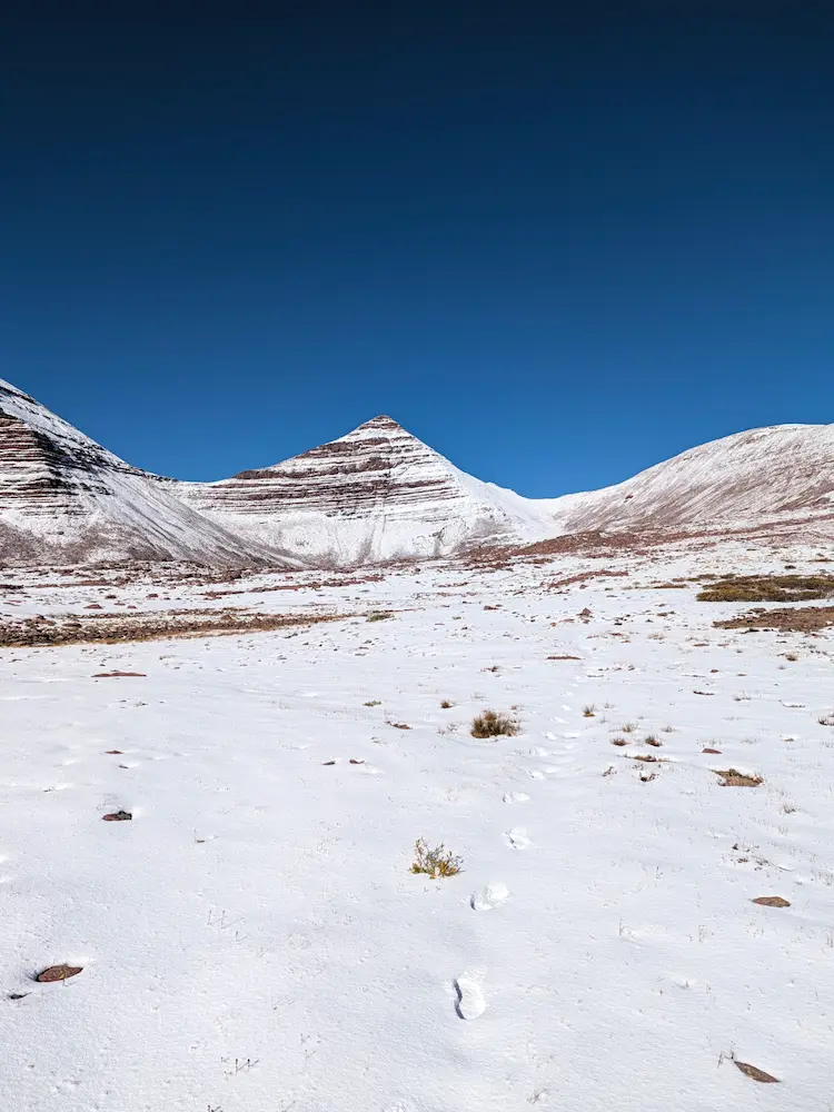
The climb toward Smiths Fork Pass became increasingly snow-covered, making the faint trail hard to track. The scenery was incredible, with views of the Red Castle formation growing more impressive with every foot of elevation gained. Just as snow depth started to slow my pace, I crested the pass and dropped into Yellowstone Creek Basin. This basin felt vast, remote, and empty. Descending into the valley, the snowpack thinned out within a mile or two. To the east, Kings Peak began to peer around the shoulder of Smiths Fork Peak. I took a left onto the Uinta Highline Trail and began the next big ascent toward Anderson Pass and the Utah state high point.
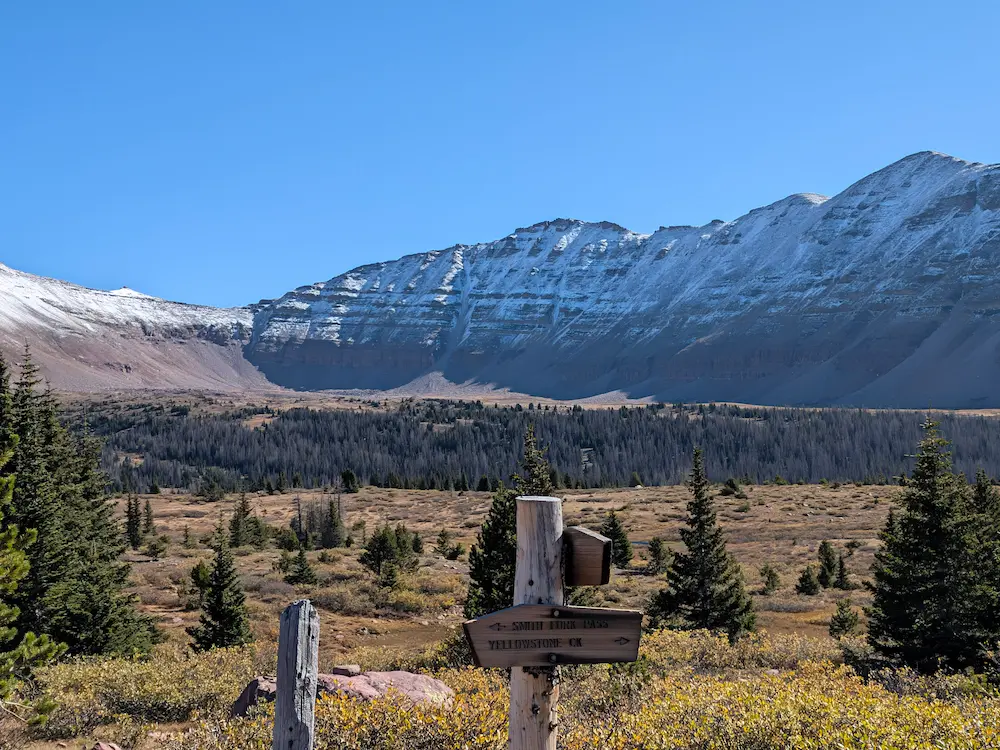
Crossing the halfway mark, the Highline Trail felt deeply isolated. I was a mountain pass away from either exit route and hadn't seen another person since passing a campsite back at Red Castle. Thankfully legs felt remarkably fresh and the solitude proved to be short-lived. The switchbacks up Anderson Pass were exceptionally well-graded and smooth for such a high, remote trail. Near the top, I passed my first group of the day, a multi-day backpacking party on the Highline Trail who vented their frustration over the previous day's storm, which had forced them to hold up below the pass.
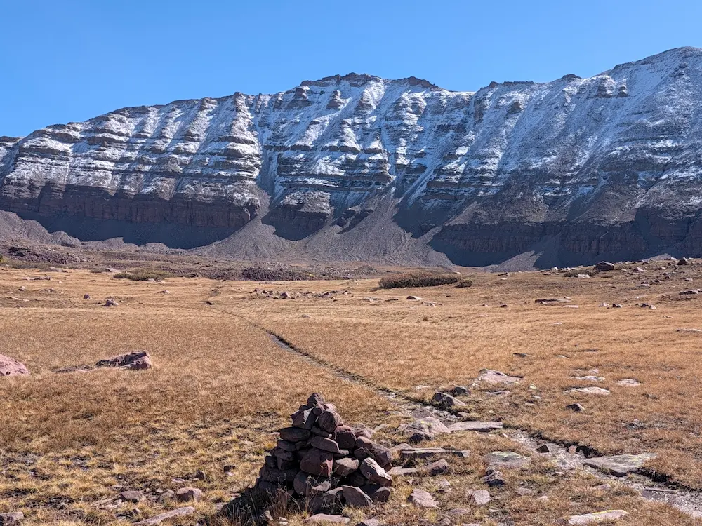
Reaching Anderson Pass at roughly 12,800 feet—the high point of the Uinta Highline Trail—views of Kings Peak opened up completely. This pass marks the junction for the final summit scramble up Kings Peak. I immediately encountered a wave of hikers heading for the top. The standard route up Kings Peak ascends via Henrys Fork, and I hadn't anticipated so many people after an isolated morning. On the plus side, a clear boot-pack was stamped into the snow, though the packed snow had grown slick over the boulder fields along the summit ridge.
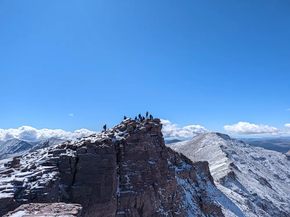
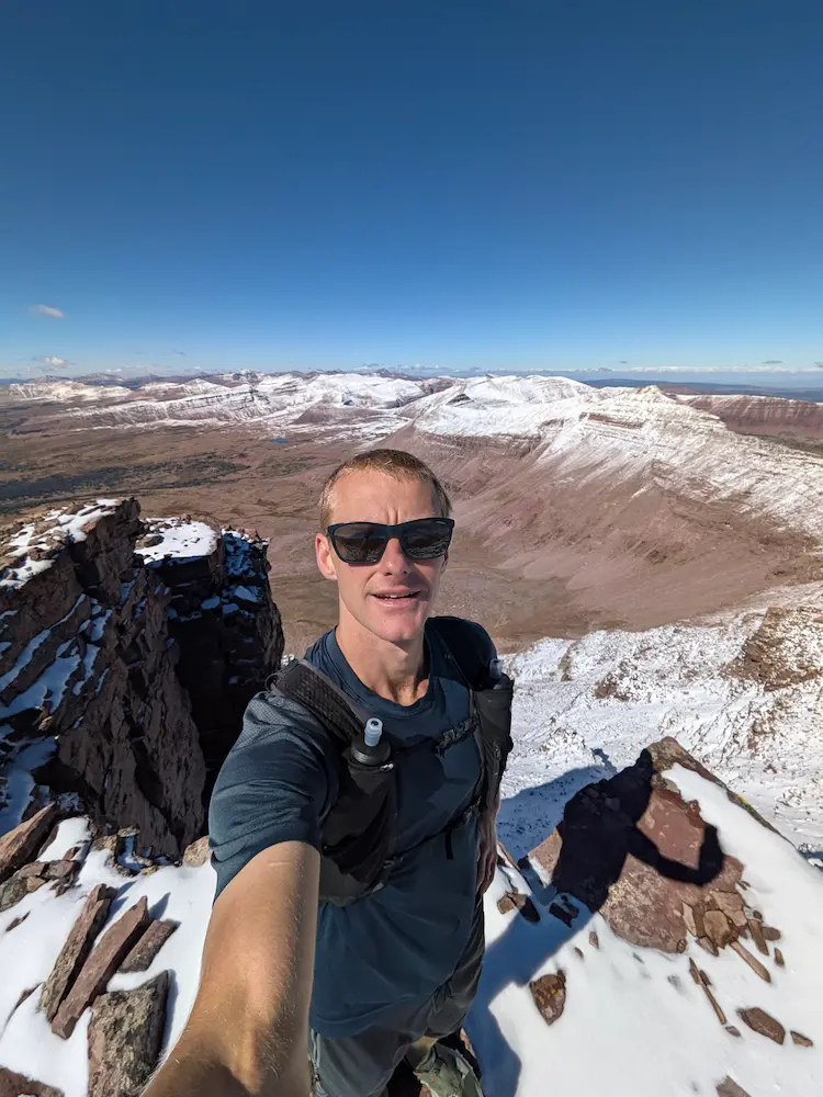
Around fifteen people were gathered on the summit when I arrived. The energy was high and the weather held clear, allowing us to take in 360-degree views across the entire range. I snapped photos and turned around quickly to get ahead of the crowds for the descent. The route backtracks half a mile down to Anderson Pass before heading east toward Henrys Fork. Rather than taking the standard trail that drops into the Uinta River Basin before climbing back out via the Gunsight Cutoff, I opted for the Dome Peak Cutoff to hold my elevation along the contour. This cutoff requires boulder-hopping between cairns for the first half before a defined trail re-emerges on the descent to Gunsight Pass.
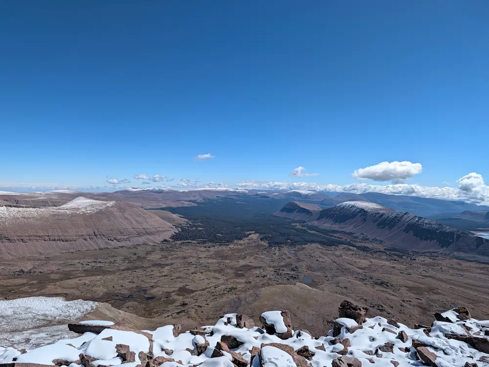
From the top of Gunsight Pass, I followed the Henrys Fork Trail down toward Dollar Lake. This stretch was sloppy; overnight snow and rain had pooled on the trail, creating slick, clay-like mud that made dodging puddles tedious. Despite the thick mud, the views of the snow-dusted peaks were incredible. The Uintas feature a unique geological character distinct from much of the surrounding Rocky Mountain ranges.
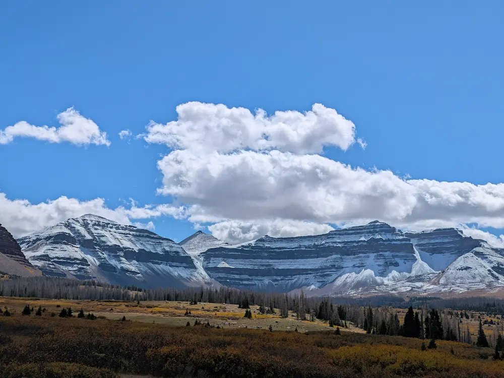
At Dollar Lake, I ate lunch, pumped water, stretched, and lay down for ten minutes to reset my back. I was a full marathon into the day with one final pass remaining. A couple of Tylenol later, I covered the next two miles down the Henrys Fork Trail. To close out the loop and head back to China Meadows, I took a left onto the North Slope Highline A Trail, which links the Henrys Fork and Smiths Fork drainages via a 1,000-foot climb over Dahlgreen Ridge. I popped in my earbuds and found a great rhythm over the next ten miles.
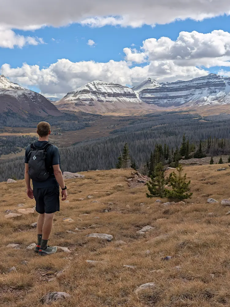
The descent back to the Smiths Fork Trail proved to be the most tedious section of the day, choked with hundreds of downed trees. I spent over an hour weaving through the timber and climbing over blowdowns. Fortunately, my legs felt strong and the slow going didn't dampen my spirits. The North Slope Trail eventually rejoined the Smiths Fork Trail, where I retraced my initial four miles back to China Meadows. My legs felt surprisingly good for having covered 38.5 miles, allowing me to pick up the pace for the final stretch. I passed a few horseback groups along the river, all of whom were exceptionally friendly and cleared the trail when asked.
This loop ended up being my longest run of the year, easily earning a spot among my top outings of the season. My greatest satisfaction came from how well my knees and back held up. I finished feeling better than on any previous 30-plus mile day. Spending the summer focusing on mileage management, strength work, and home physical therapy paid off. I drove away from the Uintas feeling grateful, capable, and accomplished. What a great way to spend the summer!
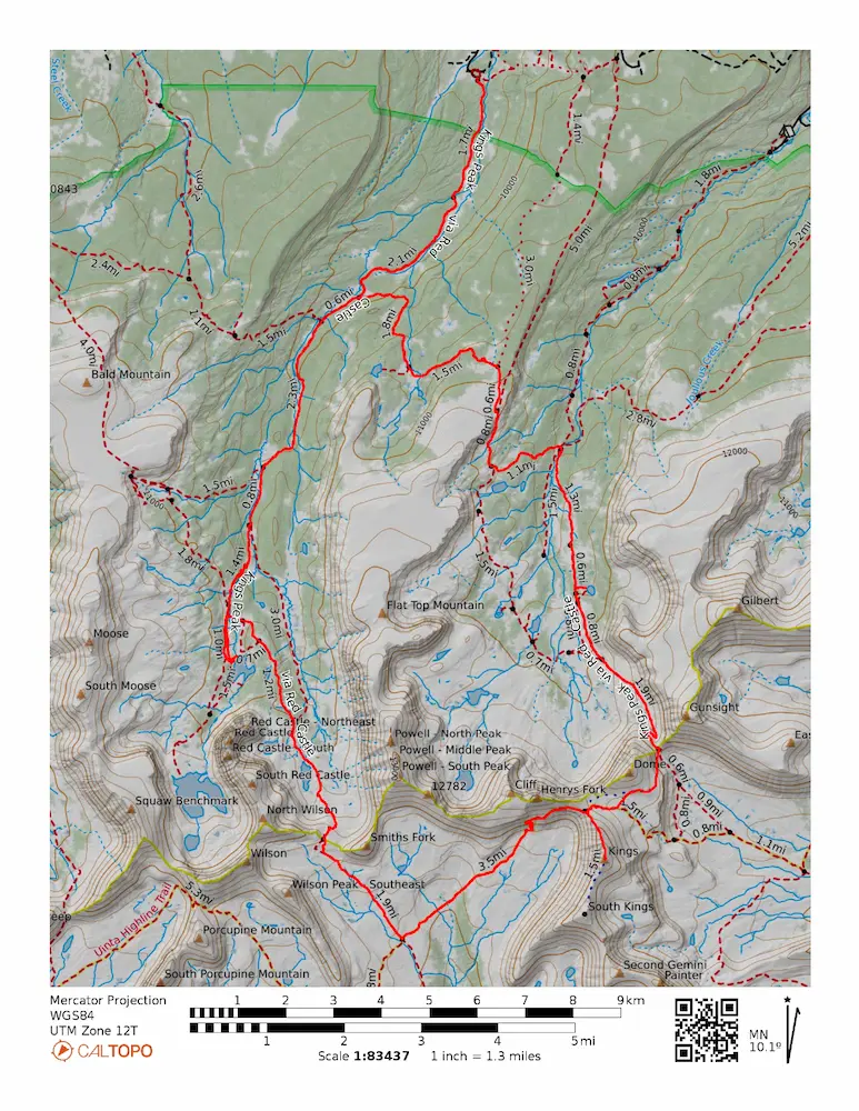
🗺️ Line of Travel:
China Meadows Trailhead ➔ East Fork Smiths Fork Trail ➔ East Red Castle Trail ➔ Smiths Fork Pass ➔ Smiths Fork Pass Trail ➔ Uinta Highline Trail ➔ Anderson Pass ➔ Kings Peak Trail ➔ Summit(13,528 feet) ➔ Kings Peak Trail ➔ Anderson Pass ➔ Dome Peak Cutoff Trail ➔ Gunsight Pass ➔ Henrys Fork Trail ➔ North Slope Highline A Trail ➔ East Fork Smiths Fork Trail ➔ China Meadows Trailhead
📍Beta:
Almost the entire loop sits above 10,000 feet, peaking at 13,528 feet on Kings Peak. Water sources were abundant in every drainage, making a lightweight filter ideal. The main trails through Smiths Fork and Henrys Fork are well maintained. The North Slope Highline A Trail connecting Henrys Fork back to Smiths Fork features significant blowdown and downed trees, requiring slow navigation.
📊 Route Stats:
- Distance: 38.49 miles
- Elevation Gain: 6,332 feet
- Moving Time: 8:07:37
- Elapsed Time: 9:23:48
- Average Pace: 12:40 / mile
👟 Gear List:
- Shoes: Dynafit Ultra Pro 2
- Pack: Black Diamond Distance 12 Pack
- Water: Katadyn Be Free


Member discussion: