
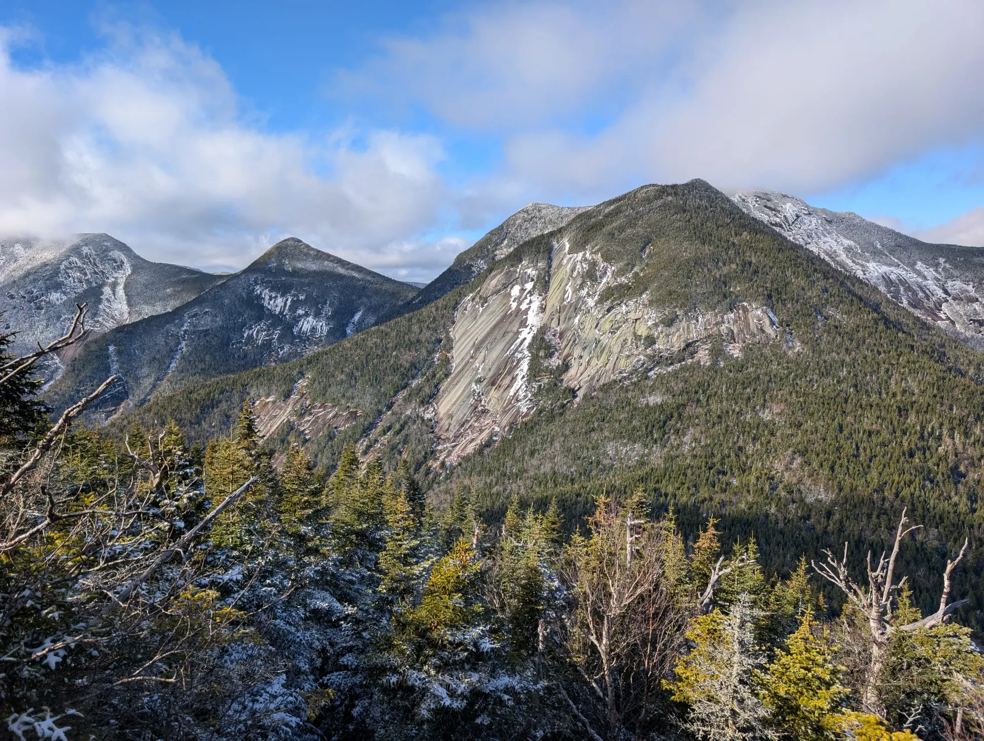
Trip Report 11/2/2025
Town of Keene, New York
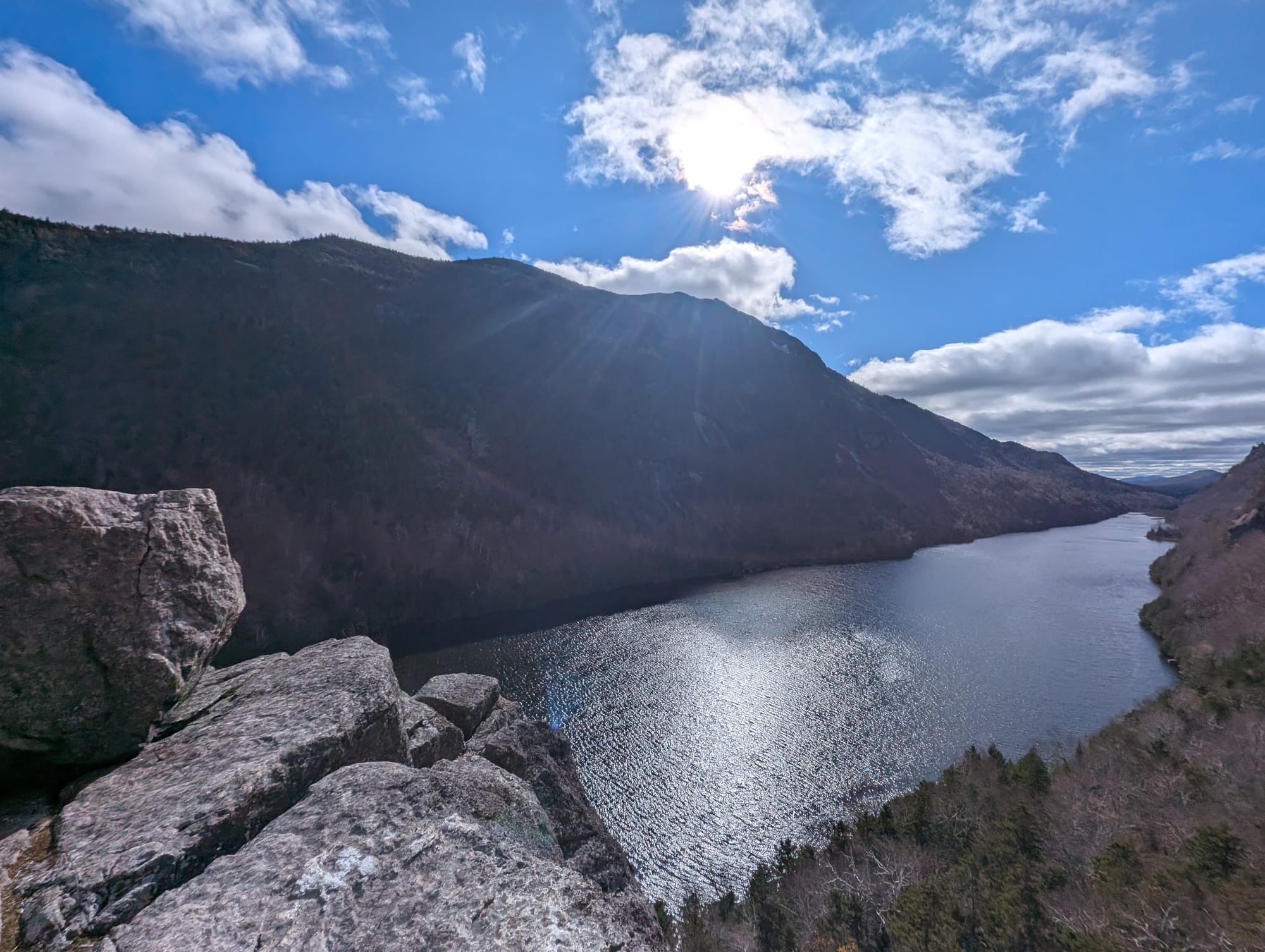
Marking my 28th ADK 46'er, I chose a loop that ran the flat miles of Lake Road before hitting the Scenic Route, which offers several incredible vantage points over Lower Ausable Lake from high above the western shoreline. The rocky lookouts on the way up felt very similar to the iconic views from Indian Head.
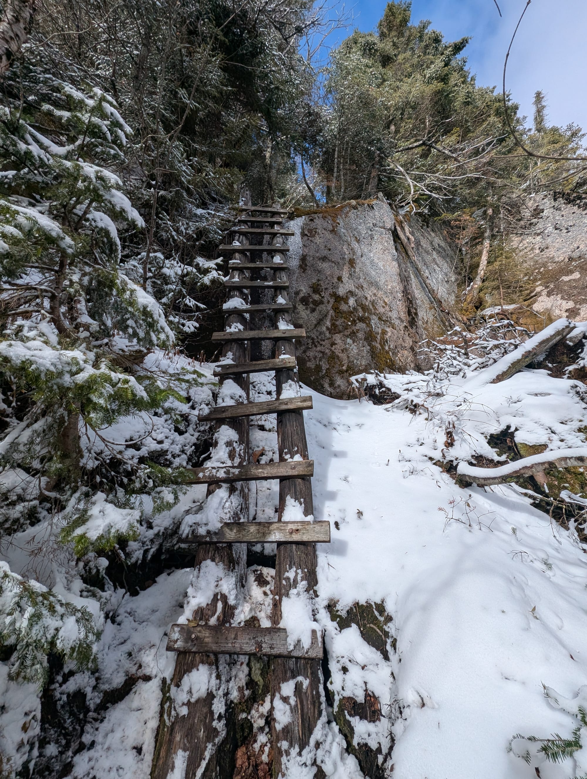
Approximately halfway up the climb, the autumn conditions shifted as I encountered fresh snow and slick ice on the steep, rocky sections. The trail spikes came out immediately and stayed on until I had completed almost the entire descent of the Weld Trail.
The summit views were spectacular, offering a massive panorama of Colvin and Blake to the south and the jagged spine of the Great Range Peaks to the northwest. On the way out, I took the West River Trail—which was completely new mileage for me—allowing for a quick stop to check out Beaver Meadow Falls.
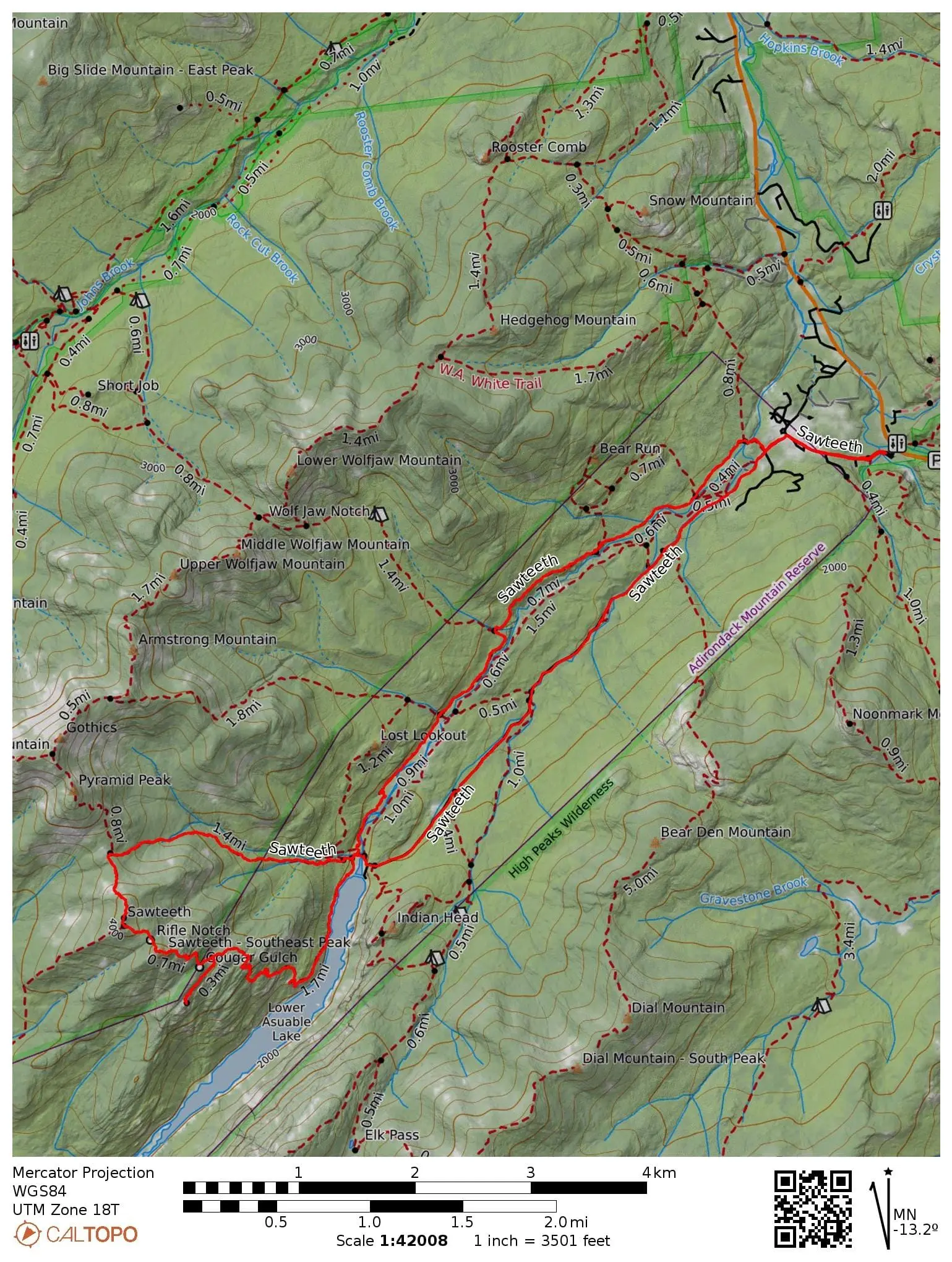
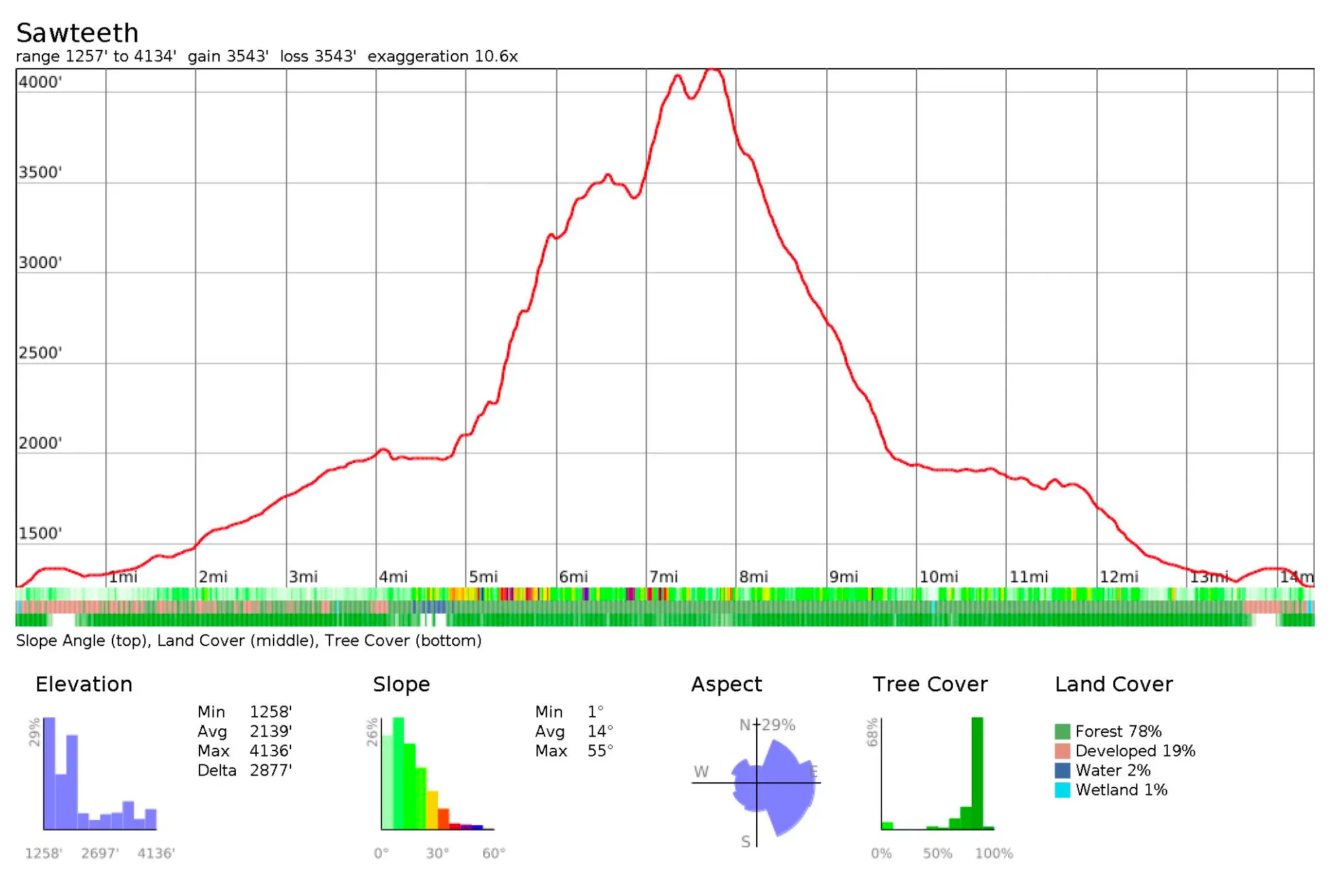
🗺️ Line of Travel:
AMR Parking Lot ➔ Lake Road ➔ Scenic Route (Ascent) ➔ Sawteeth Summit ➔ Weld Trail (Descent) ➔ West River Trail ➔ Beaver Meadow Falls ➔ AMR Lot
📍Beta:
Sawteeth Mountain is the 35th-highest peak in the Adirondacks, topping out at a summit elevation of 4,100 feet. It is famously named for the jagged, serrated appearance of its massive ridgeline. Access Regulations: Parking and trailhead access are located at the Adirondack Mountain Reserve (AMR) lot. No dogs are allowed on this property. Reservation Window: Free parking/access reservations are strictly required from May 1st – October 31st. Plan ahead and reserve your slot at hikeamr.org.
📊 Route Stats
- Distance: 14.69 miles
- Elevation Gain: 4,140 feet
- Moving Time: 3:06:12
👟 Gear List:
- Shoes: Dynafit Ultra Pro 2
- Pack: Blac Diamond Distance 15
- Spikes: Black Diamond Distance Spike

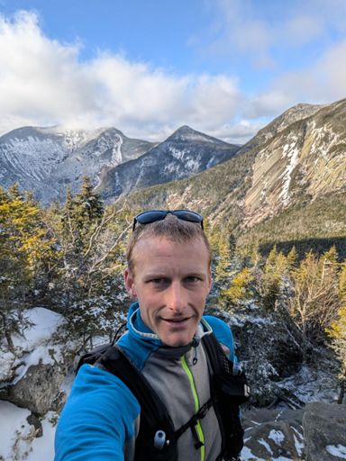
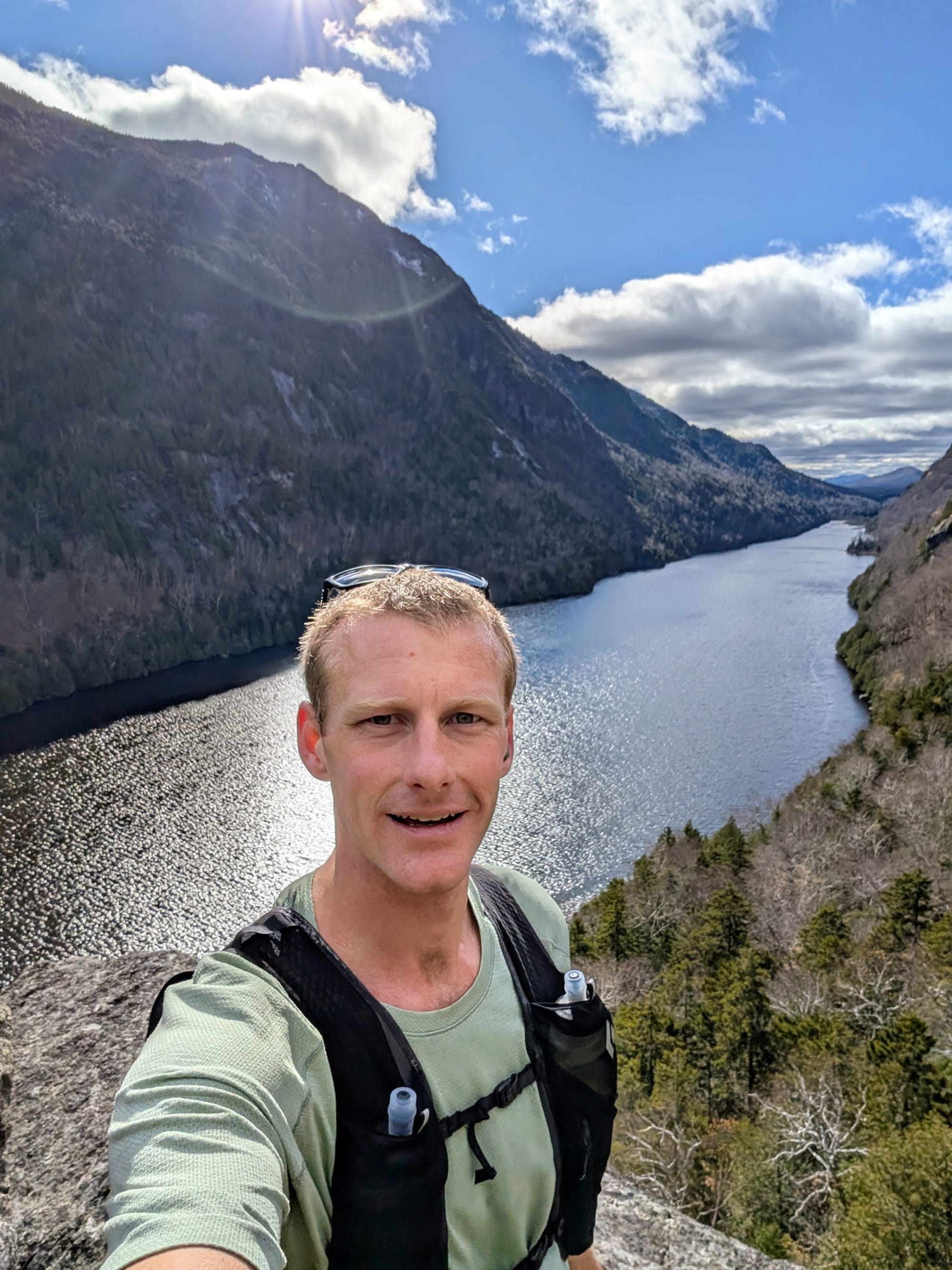
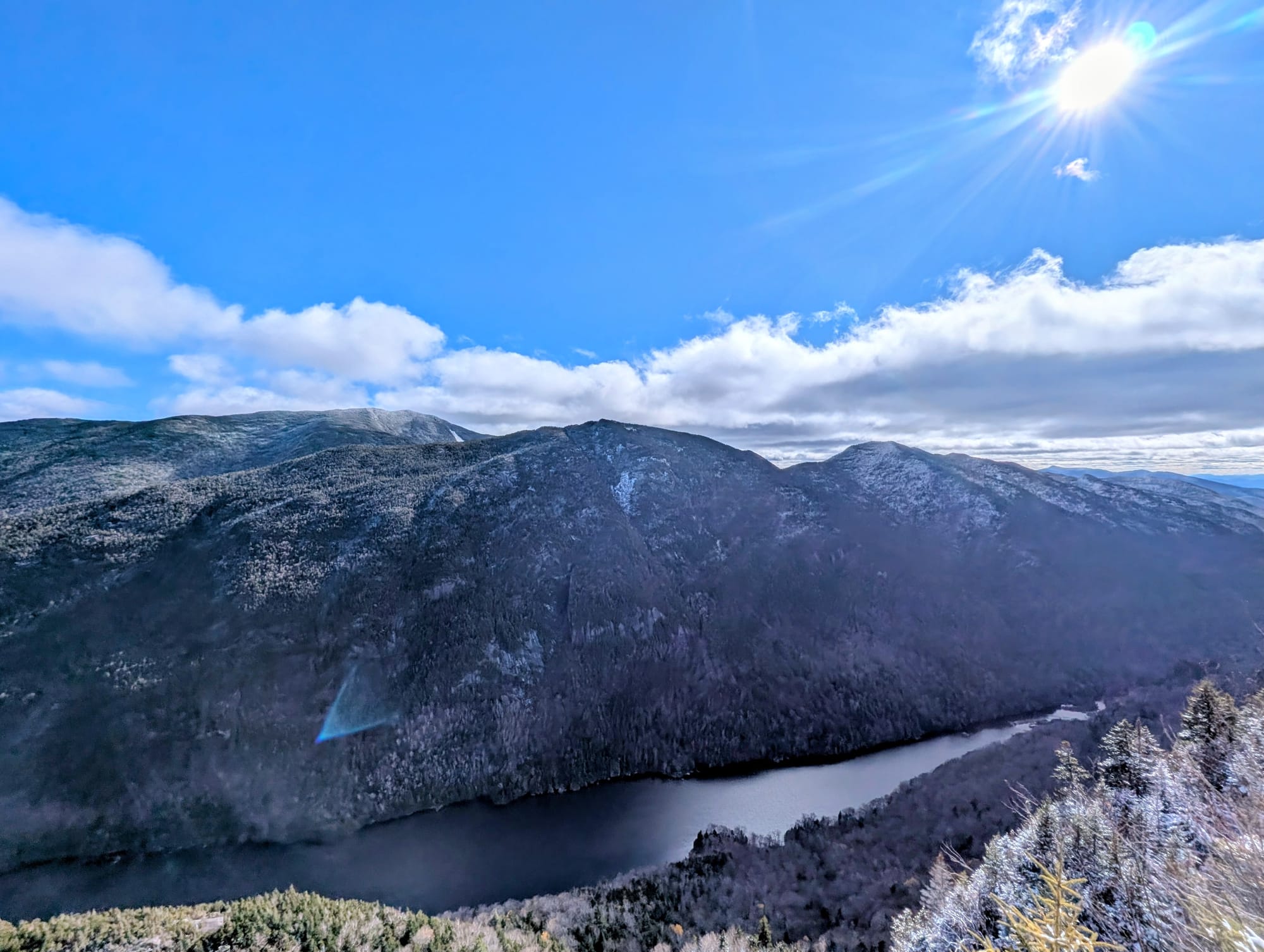
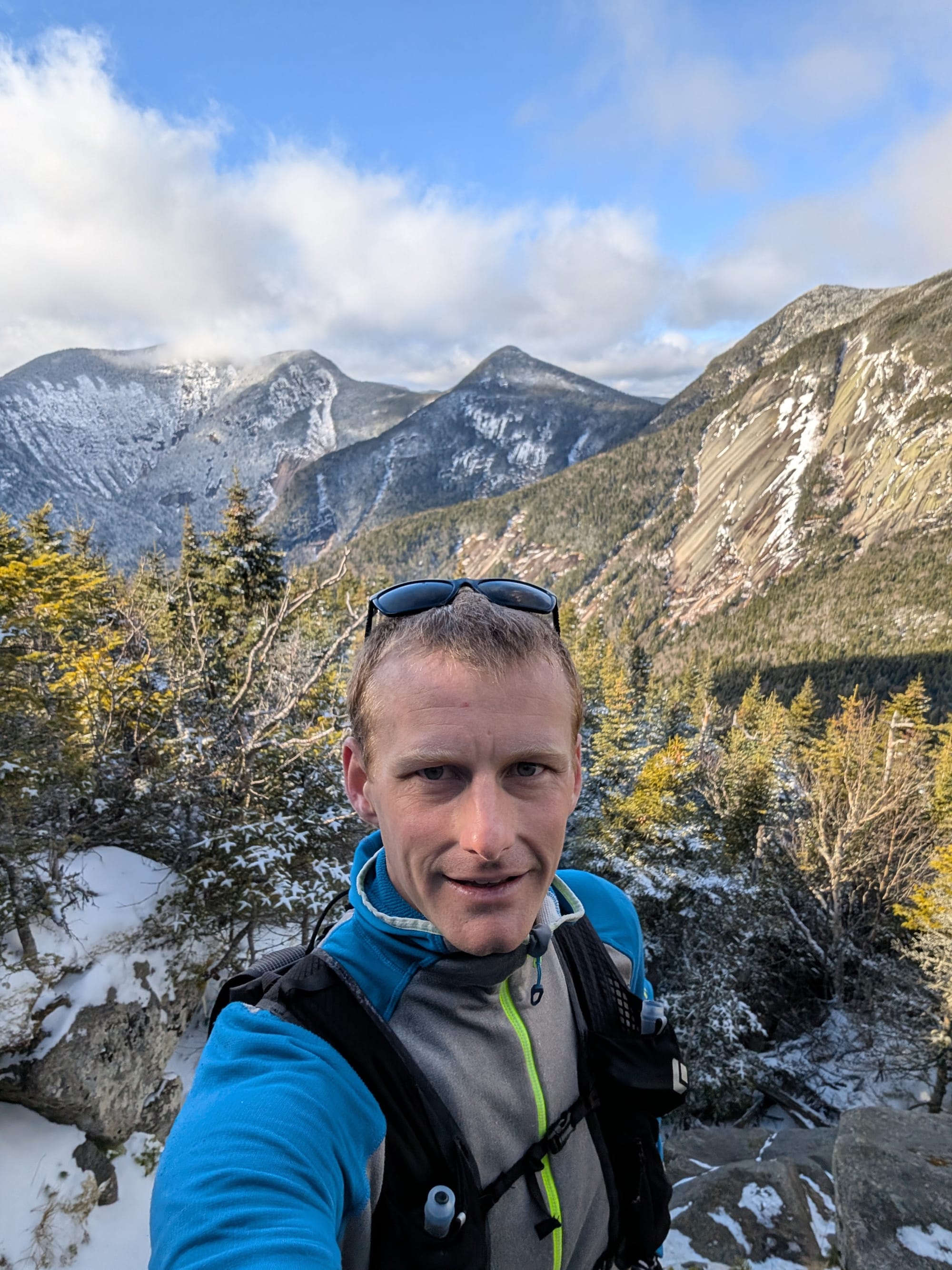
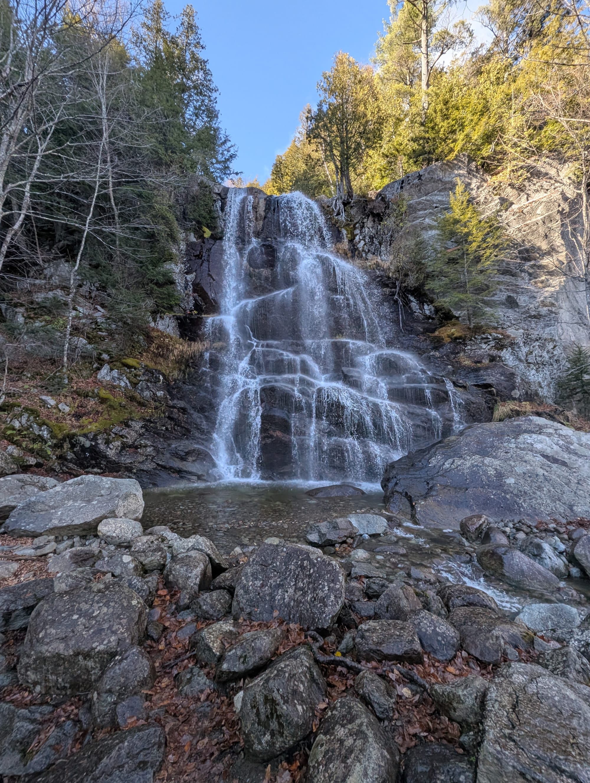
Lower Ausable Lake, Marble Point, Summit View West, Beaver Meadow Falls.

Member discussion: