

Trip Report 7/18/2021
Grand Teton National Park
As a relatively new trail runner, the summer of 2021 was a breakout year for personal growth and motivation. I had a sudden hunger for a different kind of challenge—something I could really sink my teeth into. Almost overnight, I found myself dropping out of mountain bike rides, ditching moto trips, and organizing my entire day around how I could run long distances. There was an incredible freedom in exploring the high country without the burden of equipment or the noise of motors. I quickly realized just how much more of the world could be experienced on foot.
By July, I had logged maybe 50 trail runs total over the course of my life. It wasn't much, but my weekly mileage was increasing as I stitched together basic routes around the valley. I was green, but like most new and exciting things, it made me insatiable. I needed more. Driven by a mix of raw motivation and naive confidence, I decided the Teton Crest Trail was the necessary first big run.
Smoke & Doubts
The lead-up to the trip was some of the ugliest self-coaching to date. Figuring I should subject my body to a few hard days to prime myself for a 42-mile endeavor, I ramped up my long runs in a valley choked with horrific wildfire smoke. Just two days prior to the trip, I logged an 18-mile run—my longest distance to date—finishing with a raw, burning throat from huffing smoky air.
Honestly, I wasn't even sure I would be able to finish the Crest Trail, but I packed up a water pump, packed my vest, and went anyway. My running partner Wyatt ended up dropping out, citing hazardous Air Quality Index (AQI) levels. He was smart enough to wait for a better window, but I couldn't resist the pull. By sheer dumb luck, the smoke cleared significantly on the morning of the push, leaving the high-alpine route mostly spared from the valley smoke. Because of my uncertainty, I scoped out several exit points along the crest; Granite Canyon and Teton Canyon were my early bail options, while Cascade Canyon stood as the safe choice should I simply lack the legs for the final 10 miles.
The line of travel followed the classic backpacking route, starting from the Phillips Bench Trailhead on Teton Pass. My soon-to-be brother-in-law David ran the first 10 miles with me, intending to dip out and ride the aerial tram down from the top JHMR. Having company through those initial dark miles was invaluable—it helped us navigate the local moose population and kept my mind from dwelling on the oversized nature of this endeavor.
Shifting Focus on the Death Canyon Shelf
My pace was intentionally slow for the first 10 miles with David. I power-hiked every steep pitch in hopes of pacing myself into uncharted fitness realms, saving my legs to run the flats and descents. I made my first scheduled water stop at Marion Lake. My entire strategy was structured around eating and drinking fixed amounts at set mileage intervals. The next checkpoints on the map were Alaska Basin, Lake Solitude, and then hopefully the finish line.
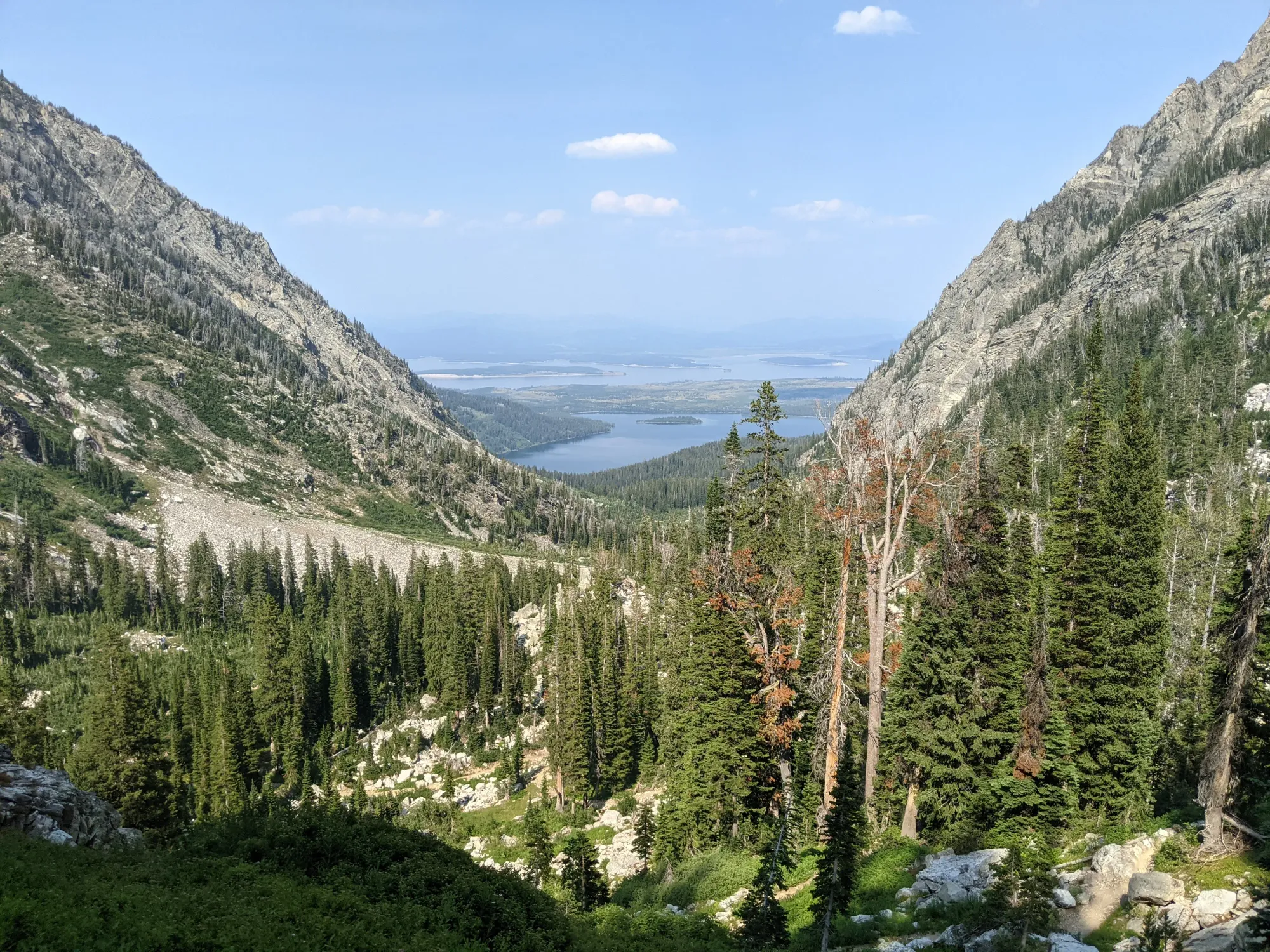
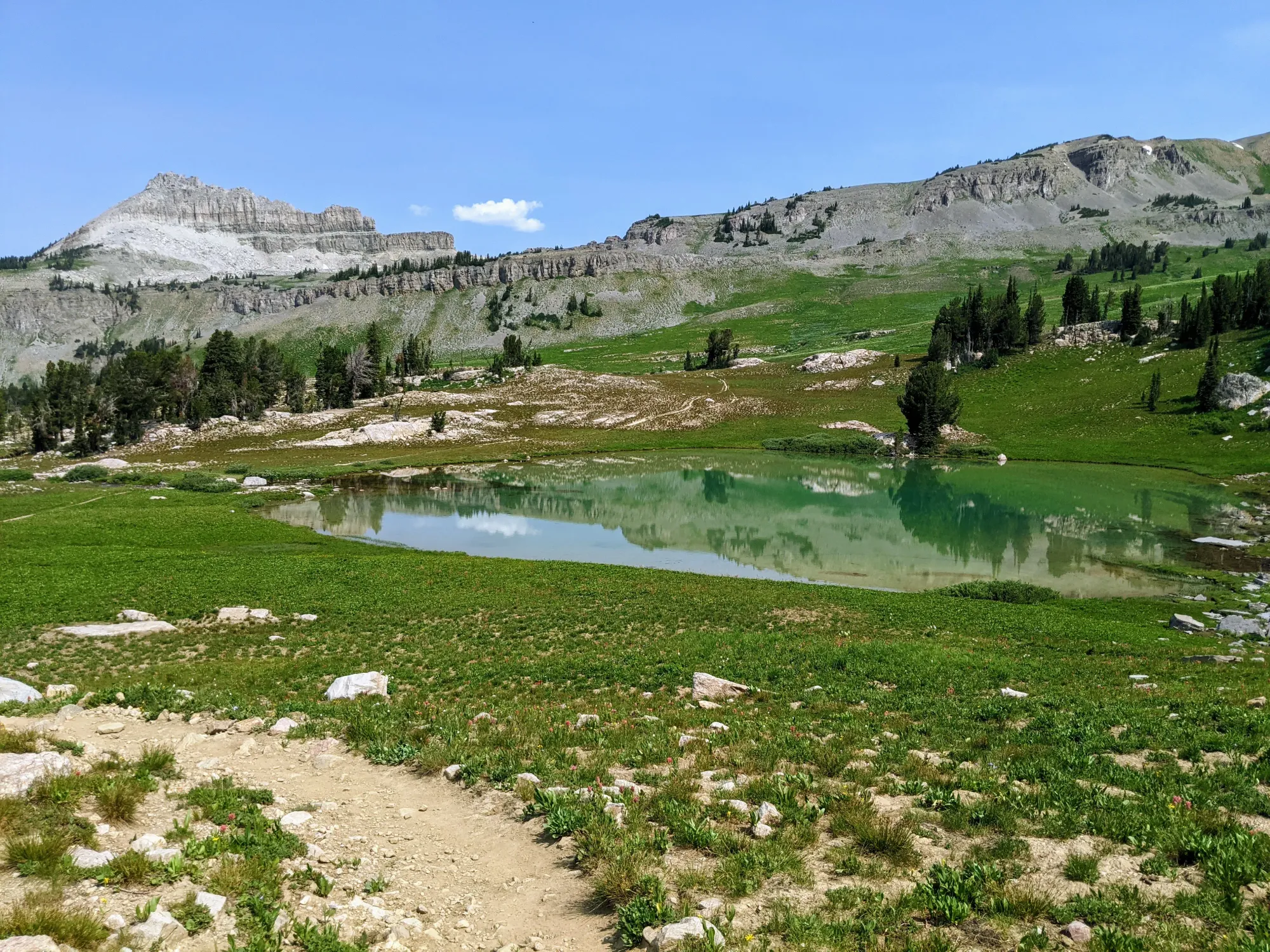
Miles 10 to 20 turned into a brutal mixed bag. Concerning knee pain began to flare up, but it was juxtaposed with views along the Death Canyon Shelf that I had never experienced before. It was breathtaking. Having lived under the shadow of the Tetons my entire life, I thought I knew what these mountains were all about. I was wrong. There was so much out there still to see, and that specific view shifted my perspective, cementing running as an permanent pillar of my life moving forward.
Alaska Basin: Refuge and Turning Point.
I was nearly limping as I shuffled into Alaska Basin. The doubt was heavy—I genuinely didn’t know if I could make it all the way. I pulled over and went through the motions: pumped water, drank, ate lunch, changed into dry socks, stretched, took some ibuprofen, and laid flat on the warm granite to ease my aching back. After a few minutes of rest, I stood up and started moving again.
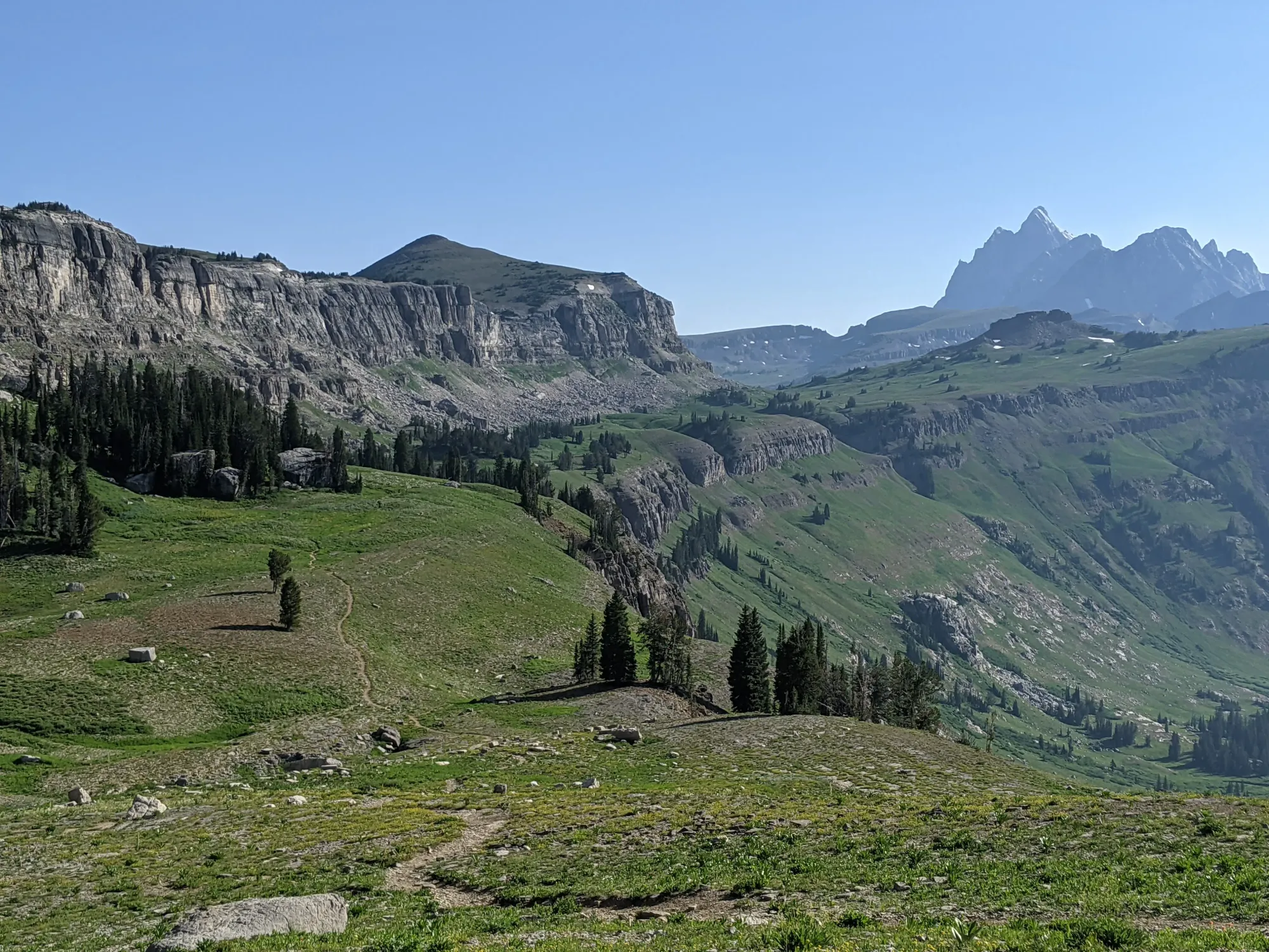
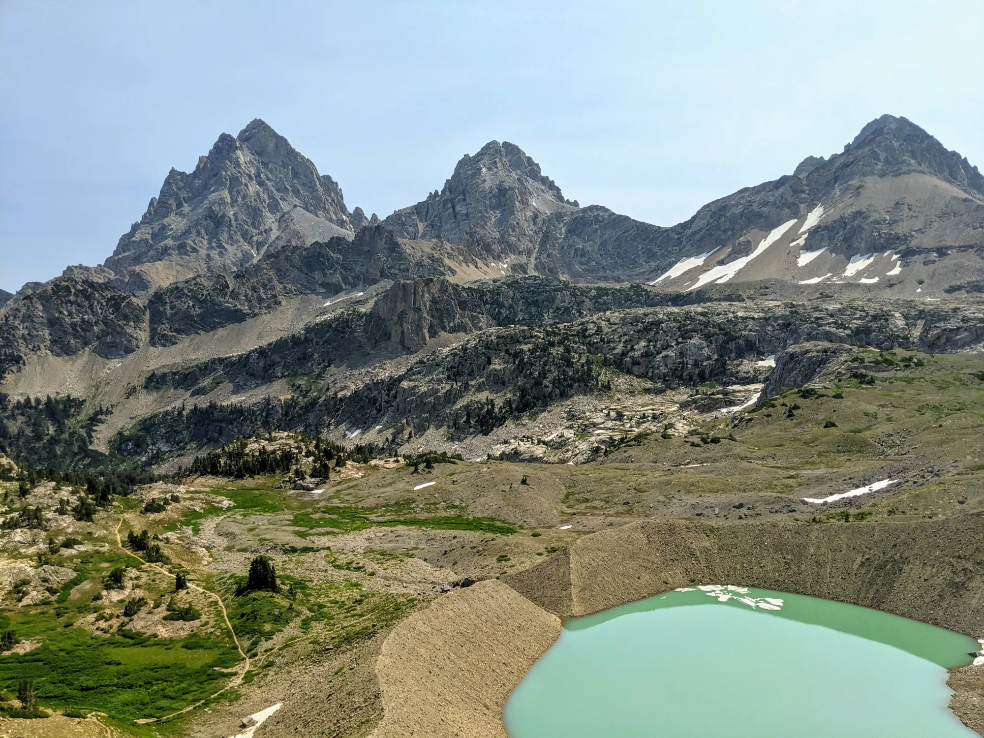
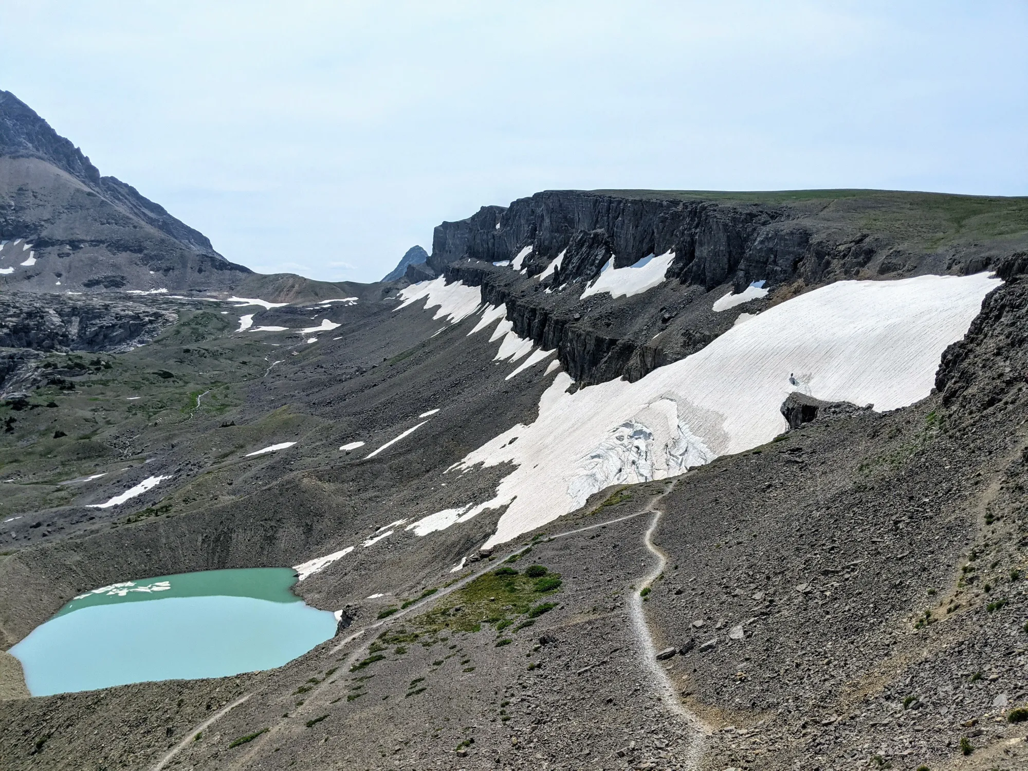
The Crest Trail winds beautifully through Alaska Basin, crossing cold creeks beneath the towering architecture of the Tetons. As I started the climb toward Sunset Lake, my body finally turned a corner. The joint pain eased, the hydration caught up, the fuel kicked in, and I felt entirely renewed. I picked up the pace and crested Hurricane Pass, revealing the core peaks looming directly over the Schoolroom Glacier.
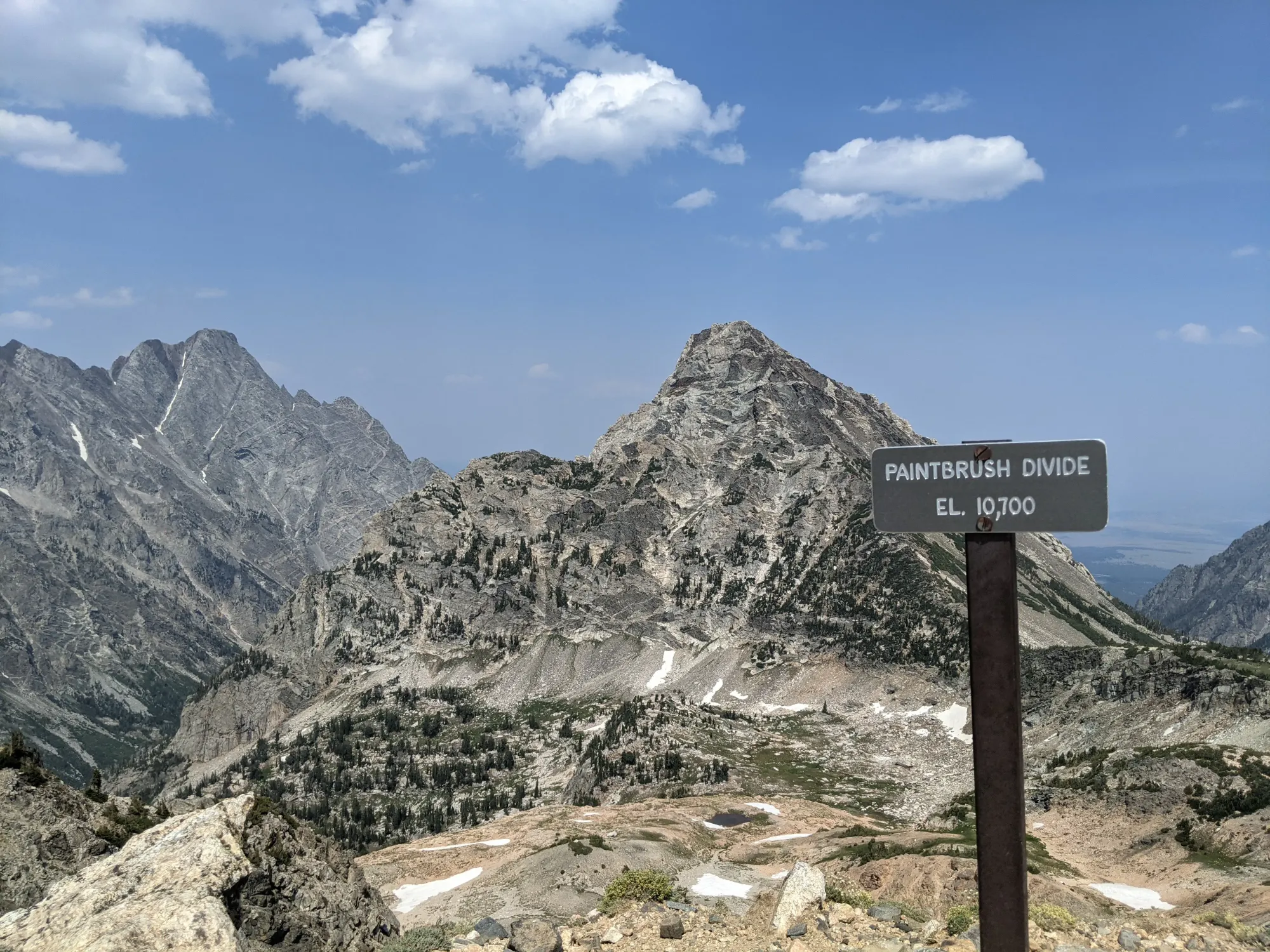
Paintbrush Divide and the Final Trudge
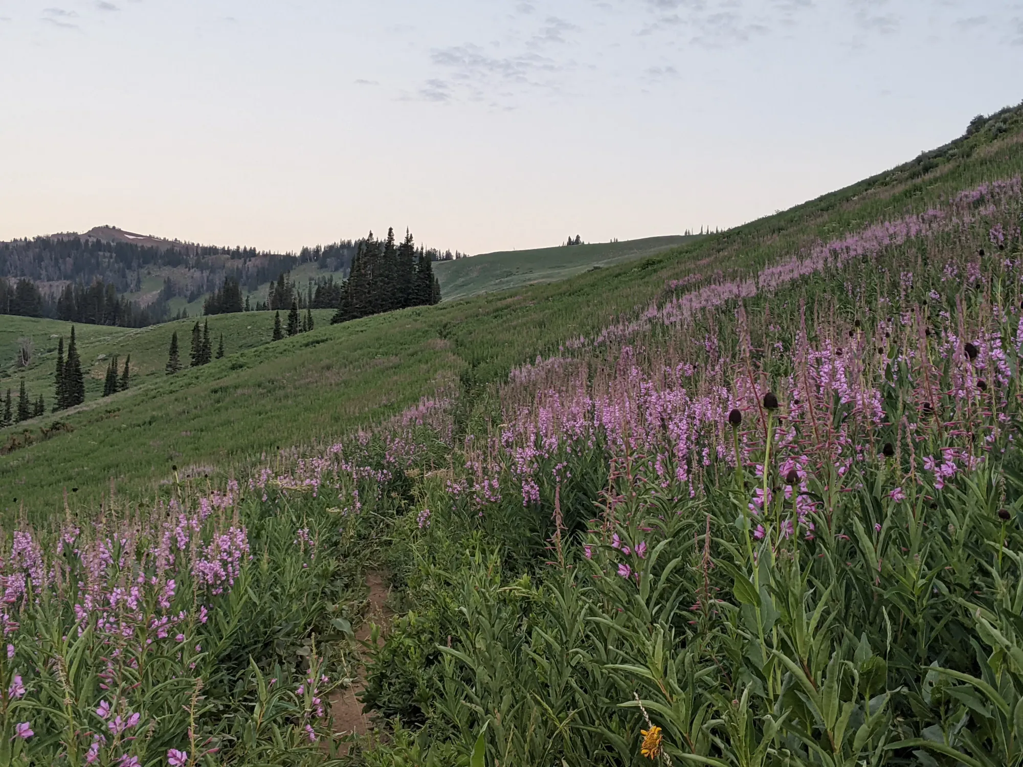
Miles 20 to 35 proved manageable and highly scenic. The geometry of the day was finally taking shape, yielding to familiar trails and the belief that I could at least walk to the finish line if nothing else. As I dropped off Hurricane Pass into the tourist-filled corridor of Cascade Canyon, hydration became paramount. I doubled my planned fill-ups, hitting nearly every water source from the canyon floor to the top of Paintbrush Divide.
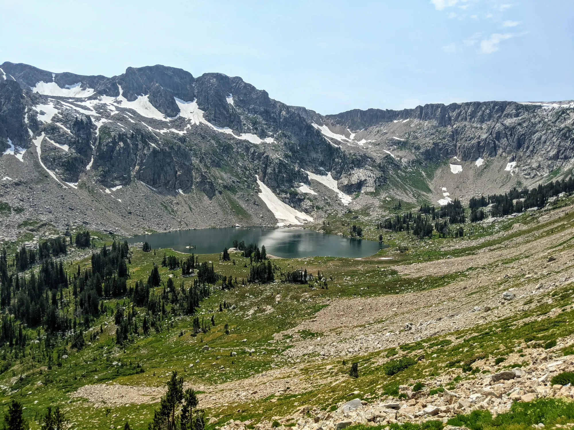
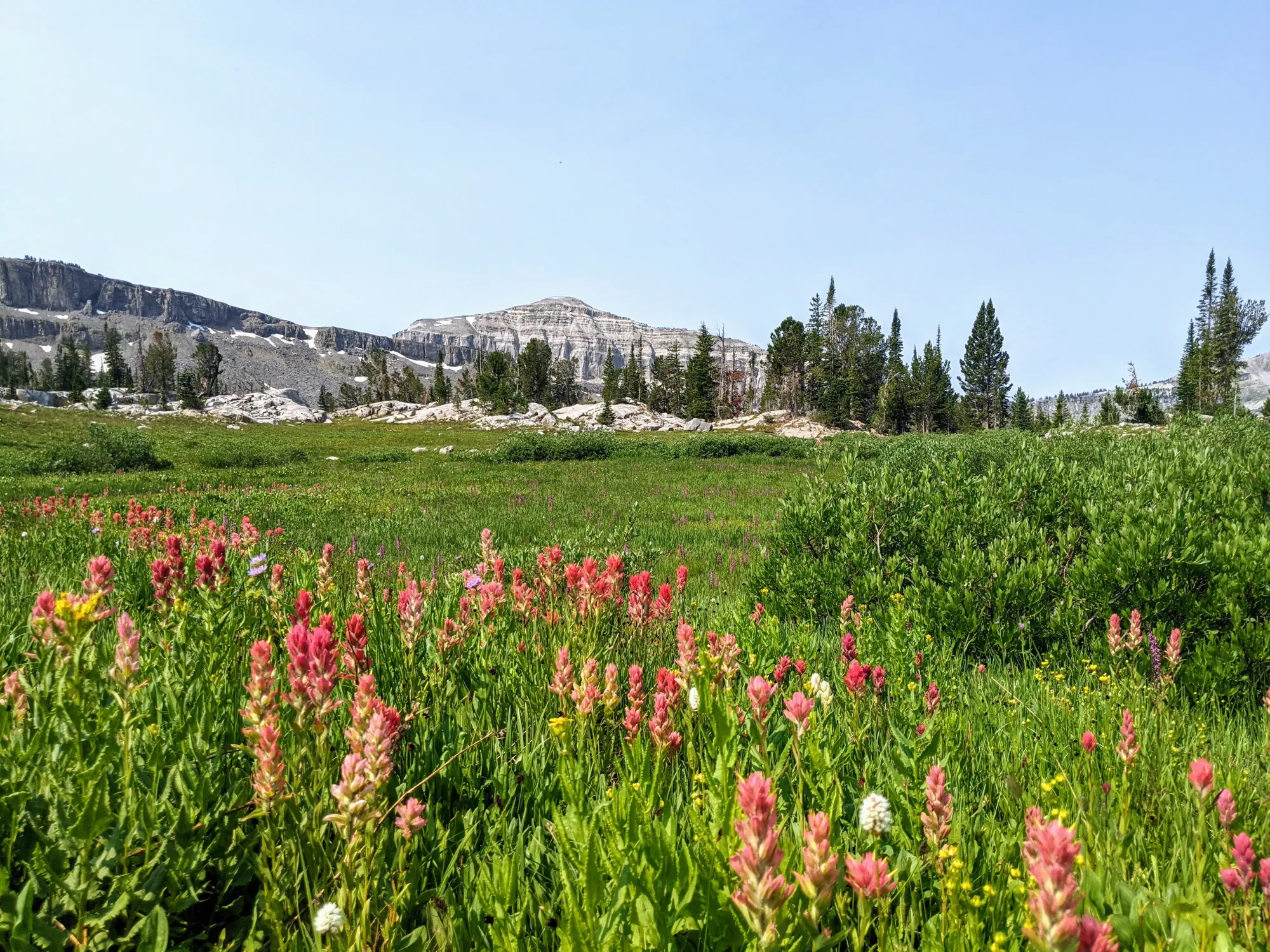
Lake Solitude was stunning from above, and the alpine meadows were incredibly inviting. I laid down for a moment to pump water and soak in the view. Part of me didn't want to leave, but the pull of accomplishment kept dragging me forward. The final 10 miles off the divide and down through Paintbrush Canyon were pure friction. My knee pain returned and the miles felt double their actual length.
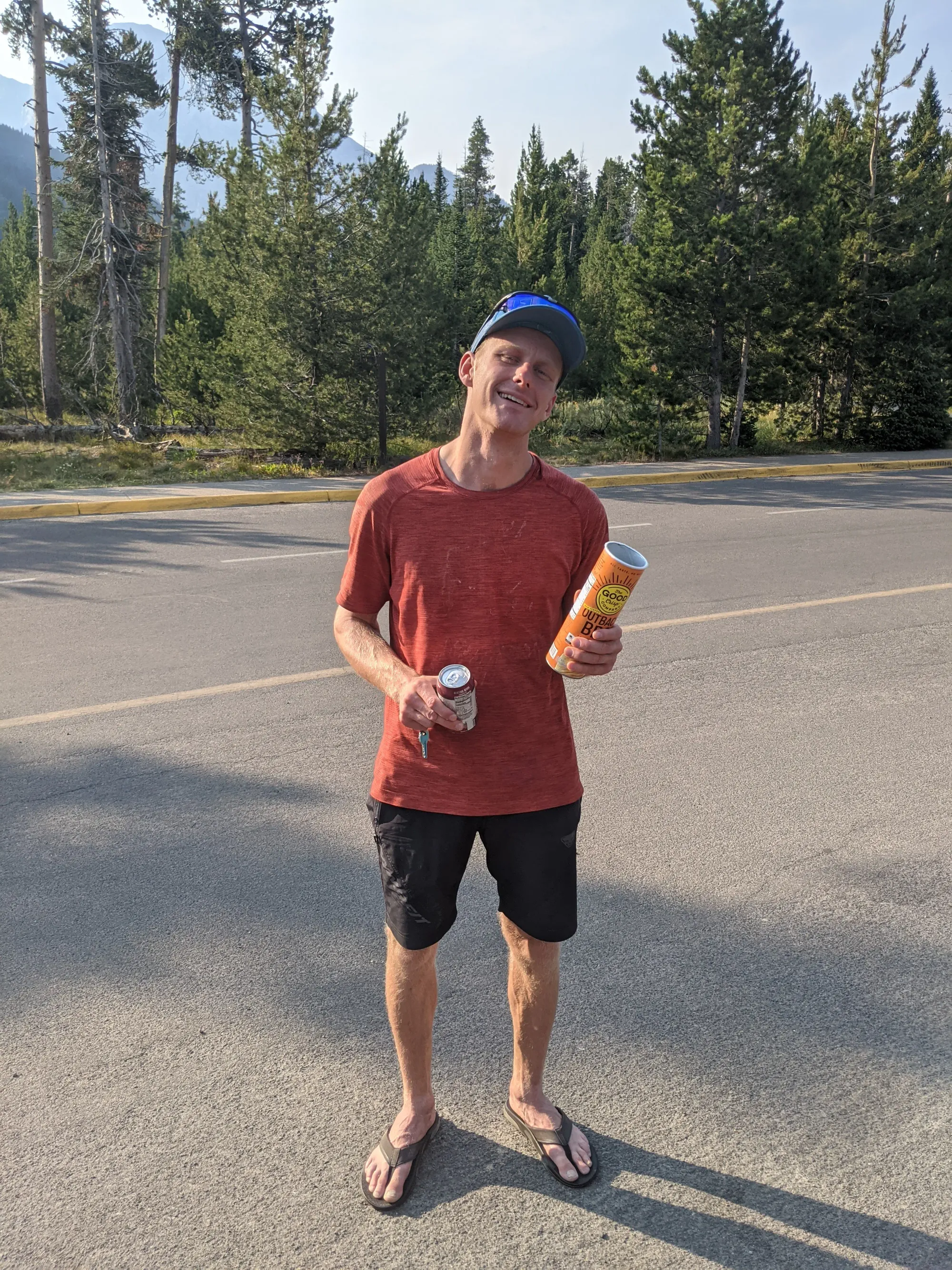
The final trudge around Paintbrush Canyon to String Lake landed me right on the beach, where Alex met me with a pizza, snacks, drinks, and a dry towel. It was incredible to finally be there, but my body was so spent I couldn't even sit on the ground—everything hurt. We left quickly to head home for proper rest and a recovery that spanned a full week. I had secured the objective, even if it wasn't nearly as fast or pretty as I had hoped.
Looking back several years later, it's great to see how pivotal those moments were. The pure motivation was enviable, but the preparation and discipline weren't. The lessons we learn on these trips are invaluable. The balance of passion and discipline are vital. Patience is never more important than now as we shape who we want to be and the experiences we want to have.
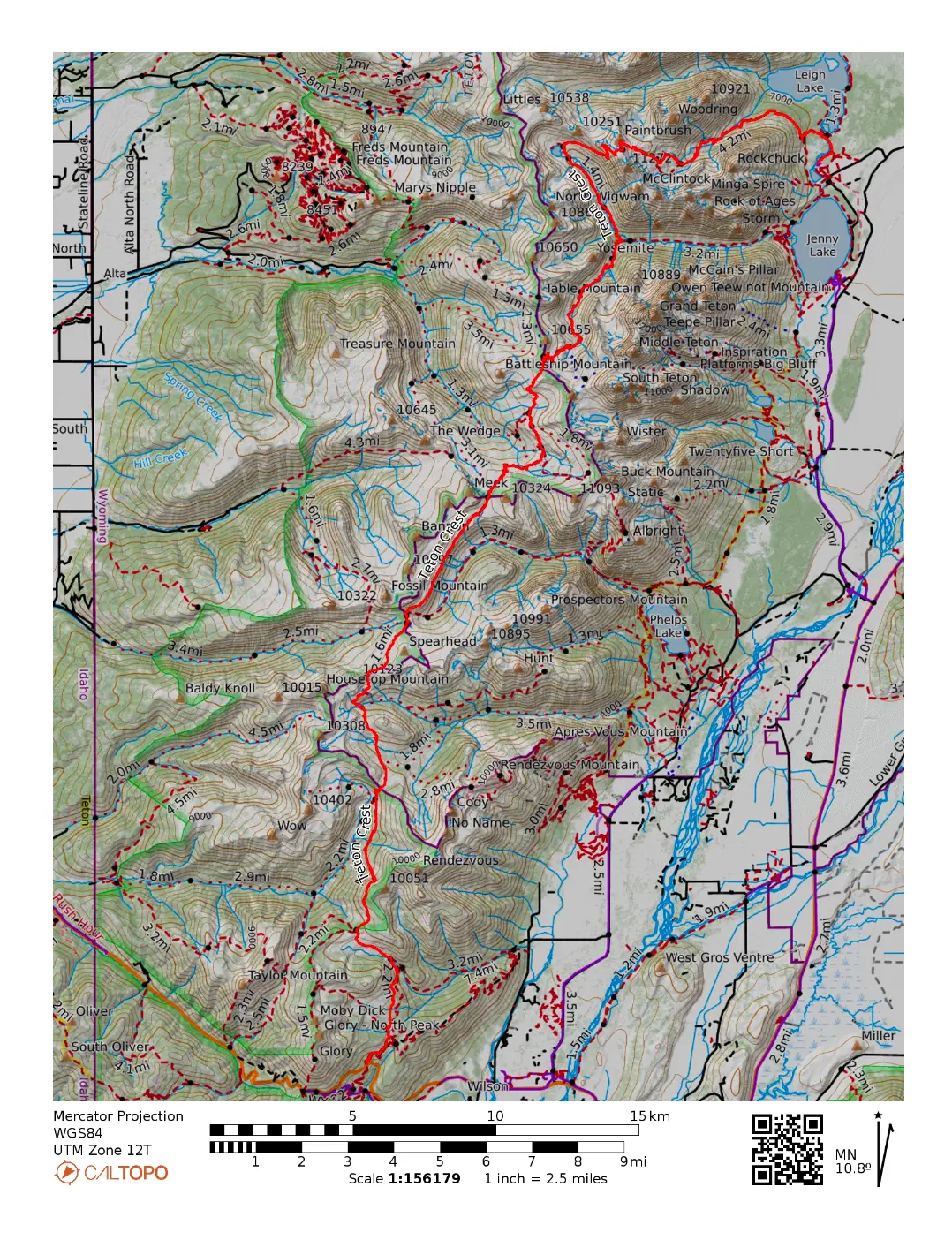
🗺️ Line of Travel:
Phillips Bench Trailhead ➔ Phillips Pass Trail ➔ Teton Crest Trail ➔ Middle Fork Granite Canyon Trail ➔ Fox Creek Pass Trail ➔ Death Canyon Shelf Trail ➔ Teton Crest Trail ➔ Hurricane Pass Trail ➔ S. Fork Cascade Trail ➔ N. Fork Cascade Trail ➔ Paintbrush Canyon Trail ➔ String Lake Loop Trail ➔ Leigh Lake Trailhead.
📍Beta:
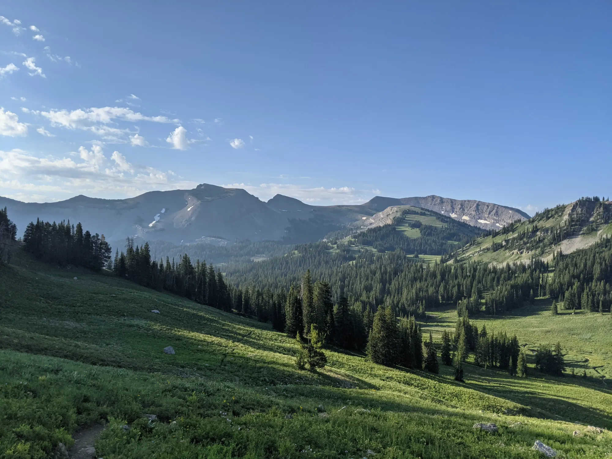
This high elevation route is best done when the snow has melted(usually mid July). This route has plenty of water along the way to fill up with the Death Canyon Shelf being the first to dry out mid season. The trail can be done either direction. There are no permits needed unless you opt to overnight on the route. The trail weaves in and out of Grand Teton National Park.
📊 Route Stats:
- Distance: 41.8 miles
- Elevation Gain: 8,980 feet
- Moving Time: 10:30:28
- Total Elapsed Time: 12:39:36
- Average Pace: 15:05 / mile
👟 Gear List:
- Shoes: Dynafit Ultra 100 GTX
- Pack: Dynafit Ultra 12 Vest
- Water: MSR Trailshot Pump

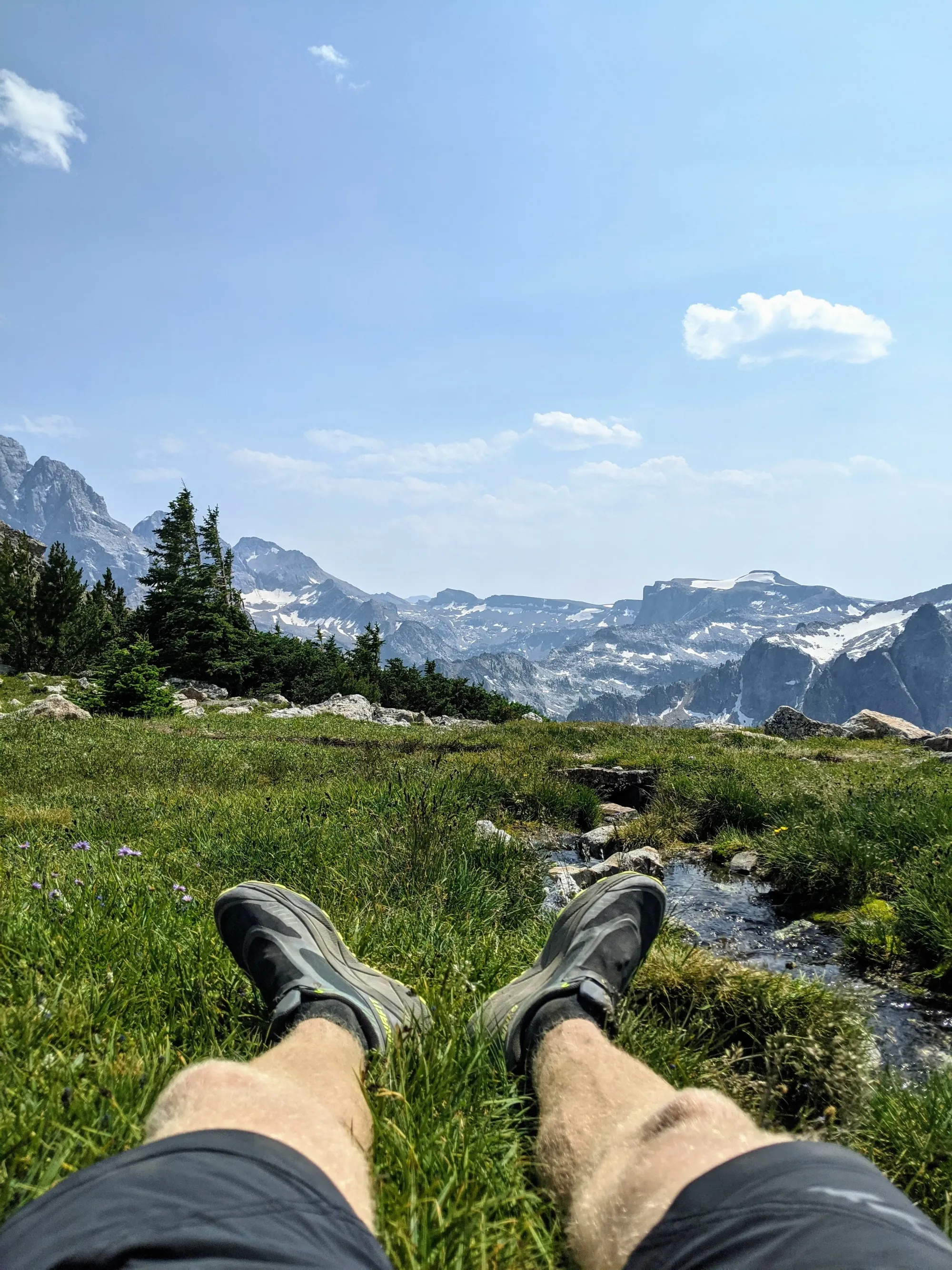
Paintbrush Canyon, Paintbrush Divide, Phillips Pass, Schoolroom Glacier, Me, Sunset Lake.
Member discussion: