
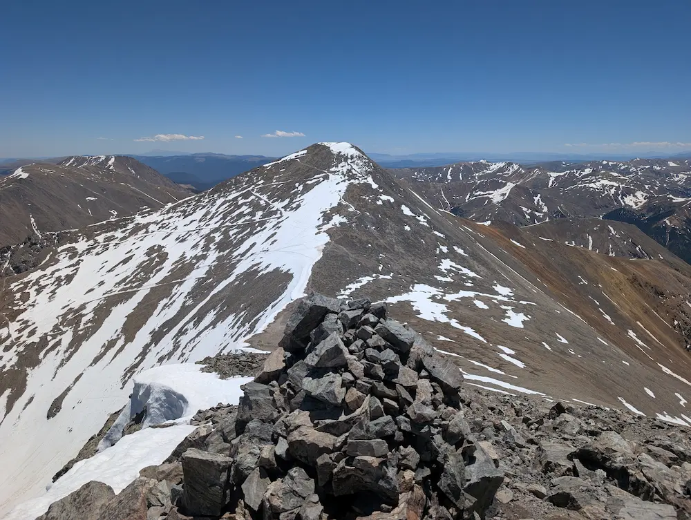
Trip Report 6/11/26
White River National Forest
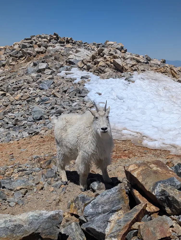
On the summit of Grays Peak, I was immediately greeted by two mountain goats that seemed entirely unfazed by my arrival. They had the 14,278-foot peak nearly to themselves—a massive contrast to the standard circus found on the front side of this mountain. Looking down the reports of a brutal road and overwhelming crowds at Stevens Gulch, I had opted for a less trafficked route up the backside of the popular 14er duo. I certainly found the solitude I was looking for, even if the road up Peru Creek couldn't have been any better than the one I avoided.
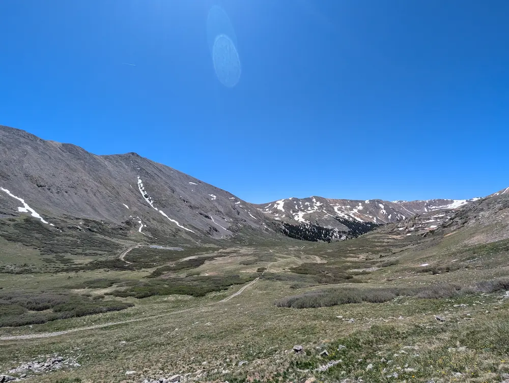
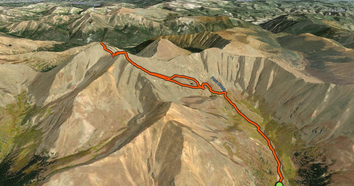
Today’s mission started from the Argentine Pass trailhead, following the Peru Creek mining roads past several small alpine lakes before splitting off toward Grays. This seldom-used approach was spectacular, though the trail became notoriously difficult to follow once the old mining road petered out. I found myself navigating without a distinct path for about a half-mile, but with the intended route clear above me, I pushed through, knowing the faint trail would be much easier to spot on the descent.
The climb from Peru Creek is direct, gaining the South Ridge just a few hundred feet below the summit of Grays. After my brief meeting with the local wildlife at the top, I didn't linger long. This specific route requires climbing Grays twice, so I hustled down the ridge toward Torreys Peak to keep the momentum going.
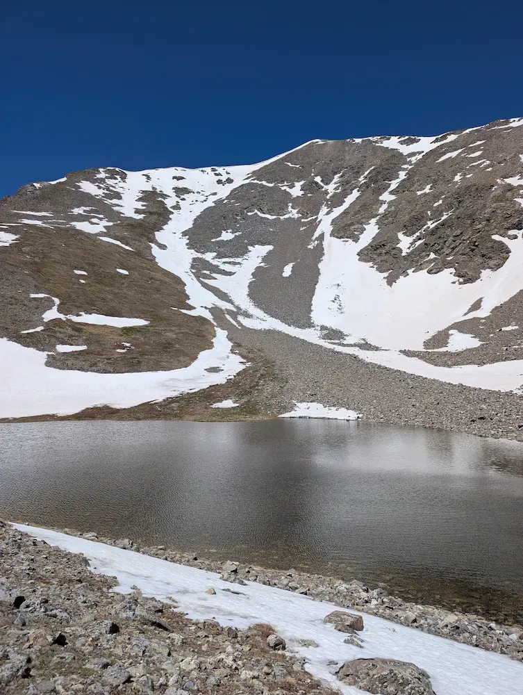
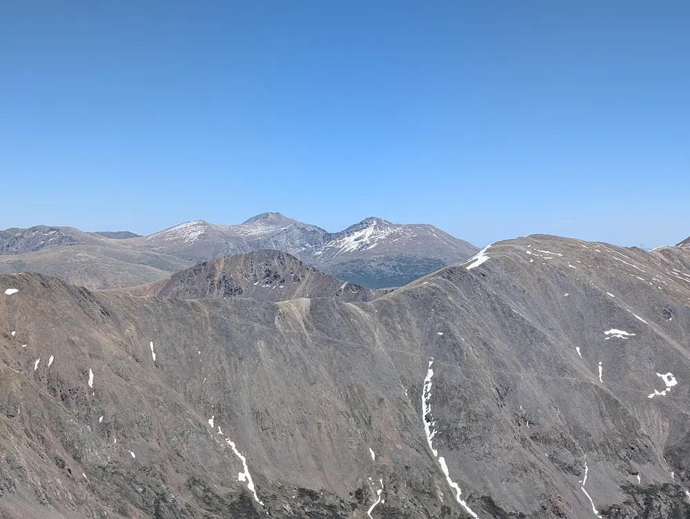
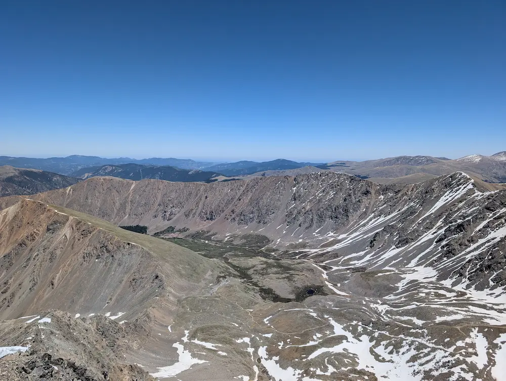
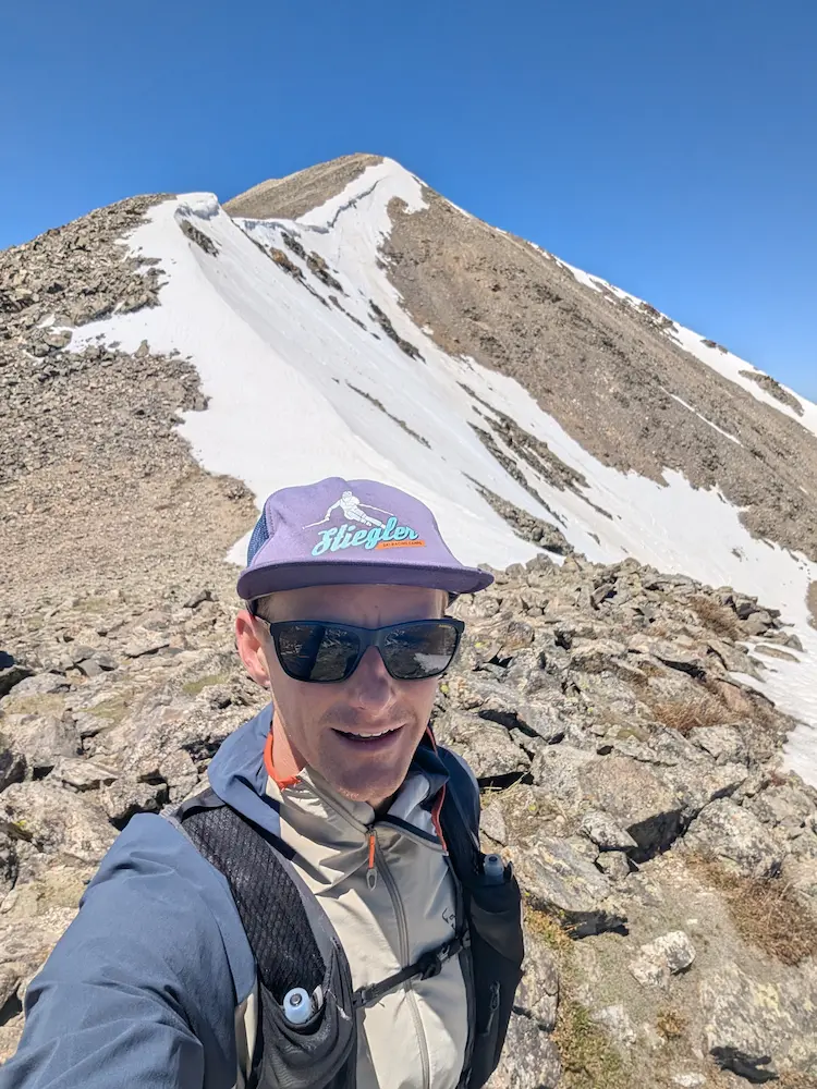
The north side of Grays was holding plenty of early summer snow, and much of the trail was still completely covered. Up high, several sections of the track had refrozen into slick ice. Despite the slick footing, the drop to the saddle and the subsequent climb up Torreys went quickly. Views to the east were surprisingly clear, with Mount Bierstadt and Mount Blue Sky appearing just two drainages over. They looked relatively snow-free and incredibly inviting for tomorrow’s adventure.
The return trip back to Peru Creek was uneventful, with the route-finding proving much simpler while looking down on the drainage from above. Alpine grass has begun reclaiming parts of the trail, but it never caused an issue, and I took a slightly different line back down to the mining roads.
Jogging back, I found myself looking up at the long, sweeping switchbacks of the Argentine Pass trail. It was highly inviting. It made me think that a runner could easily turn this into a massive loop, tracking from Grays Peak along the Continental Divide over to Mount Edwards for an alternate return to the trailhead.
By the time I hit the truck, my vehicle was the last one left in the lot. Navigating the drive back down toward Montezuma, I frequently encountered dirt bikes and Jeeps—a clear indication of the rugged type of road I chose for the approach. It might not be the easiest way to tick off these two peaks, but for the sheer peace and quiet, it was worth every bump.
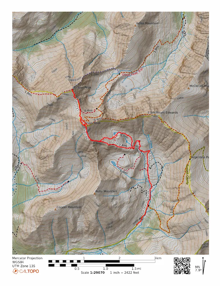
🗺️ Line of Travel:
Argentine Pass Trailhead ➔ Peru Creek➔ Grays Peak Trail ➔ Grays Peak (14,278) ➔ Grays/Torreys Connector Trail ➔ Torreys Peak (14,275) ➔ Retrace Route
📍Beta:
Skipping Stevens Gulch means trading trail crowds for 4x4 traffic. The road up Peru Creek past Montezuma is rough and rocky. High clearance is highly recommended. The trail fading out for about a half-mile after the mining roads end is standard for the Peru Creek approach. Keep your eyes up to track the South Ridge of Grays.
📊 Route Stats:
- Distance: 8.38 miles
- Elevation Gain: 4,259 feet
- Moving Time: 2:22:49
- Average Pace: 17.02 / mile
👟 Gear List:
- Shoes: Dynafit Ultra Pro 2
- Pack: Black Diamond Distance 12 Pack

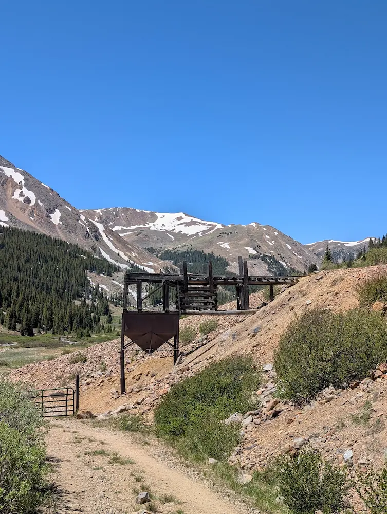
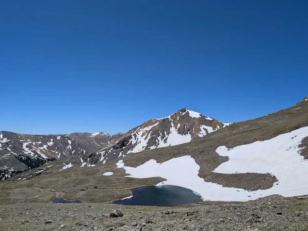
Mining Relics, Peru Creek, Mountain Goats, Stevens Gulch, South Ridge Grays Peak

Member discussion: