Trip Report 8/24/26
Salmon-Challis National Forest
The Lost River Range is home to some of Idaho's highest and most rugged peaks, including six summits over 12,000 feet and the state’s ultimate high point. Named after U.S. Senator William Borah, Mount Borah reaches 12,662 feet and harbors the only active glacier in the state. This ultra-prominent peak rises dramatically north of the Snake River Plain near the tiny town of Arco, Idaho—a quiet outpost whose claim to fame is being the first municipality in the world powered by nuclear energy from the nearby Idaho National Laboratory.
This climb served as the final act of an outstanding three-day running trip through central Idaho. My weekly mileage was creeping into dangerous territory, but I knew my legs had one more solid day left in them. While the distance for this route is relatively short—around 8 miles round-trip—the sheer vertical rise more than makes up for any lack of mileage.
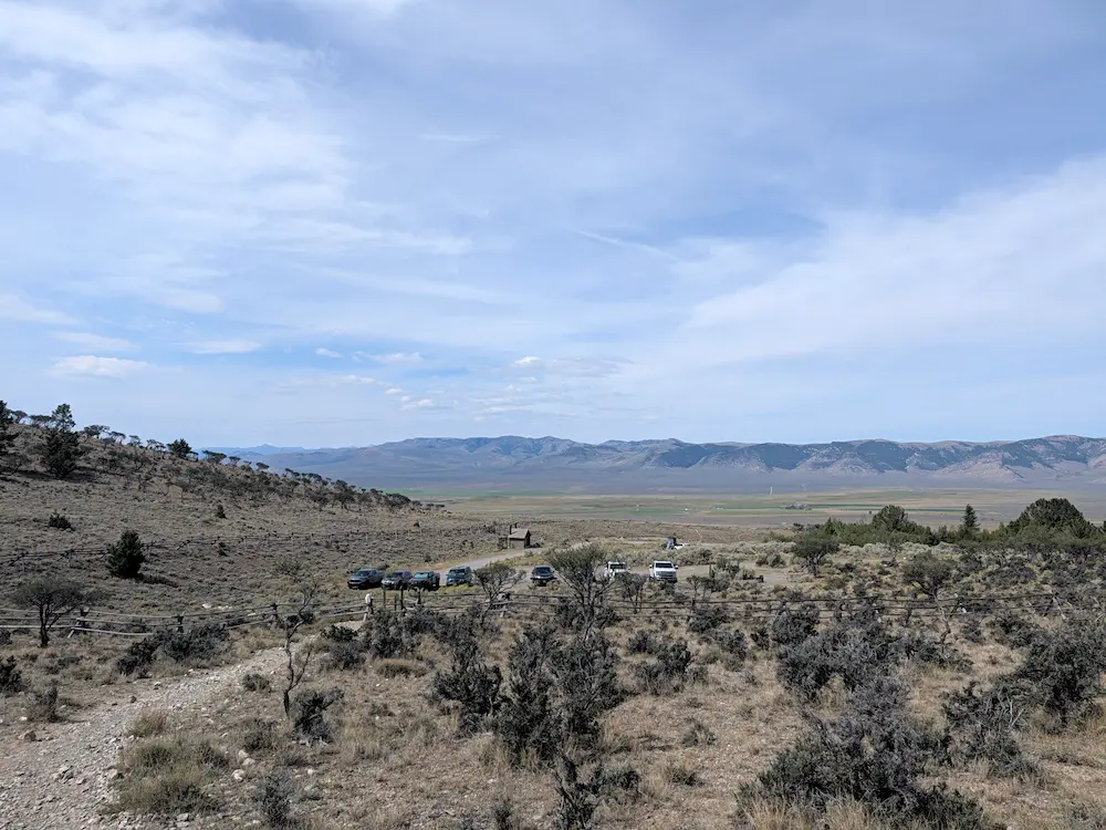
After spending the previous night near Sawtooth City, I drove over to the trailhead mid-morning on the third day with plans to move quickly ahead of potential afternoon thunderstorms. Hot summer temperatures were already present at lower elevations, but the upper mountain remained cool and breezy. The Borah Peak Trailhead sits two or three miles off Highway 93 up a dirt road, featuring a well-maintained campground and parking area easily adequate for the day's hikers.
The route follows the Borah Peak Trail straight up from the parking lot. There is zero fluff on this line: it gains approximately 5,200 feet of elevation in just under four miles to the summit. It’s a heart-thumping, high-cadence power-hike for even the fittest runners, followed by an absolute quad-blaster of a descent. There is no water available anywhere along the route, making pre-hydration critical alongside carrying whatever fluids you need for the push.
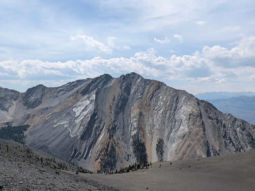
The initial two miles are relentless, winding up dense tree cover via continuous, steep switchbacks. At the two-mile mark, the tree cover breaks, the terrain opens up, and the grade eases for a brief moment. From here, you get your first clear views of Borah's summit pyramid, the neighboring drainages, and the adjacent mountain chains stretching out to the west.
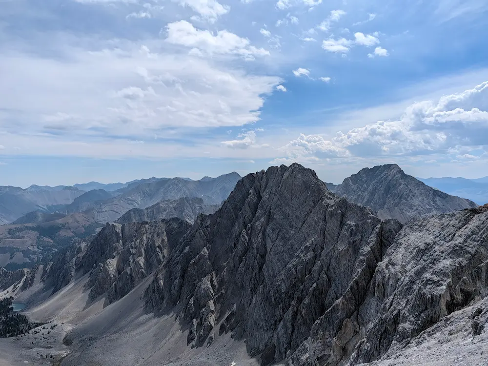
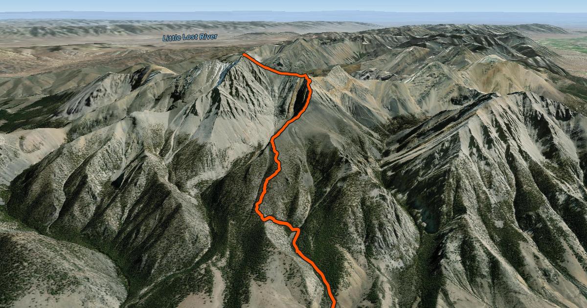
Mile three marks the start of the climb toward the satellite shoulder just south of the main peak, leading directly into Chicken-Out Ridge. This is the most technically engaging section of the route, requiring class 3 scrambling along a sharp, exposed ridgeline. While the fall risk is real, the rock is solid with excellent hand and foot holds, and most of the loose surface shale has been cleaned off over time. It’s an exceptionally fun, highly scenic scramble, offering a few route choices as you work your way up toward a small saddle just below the sub-summit.
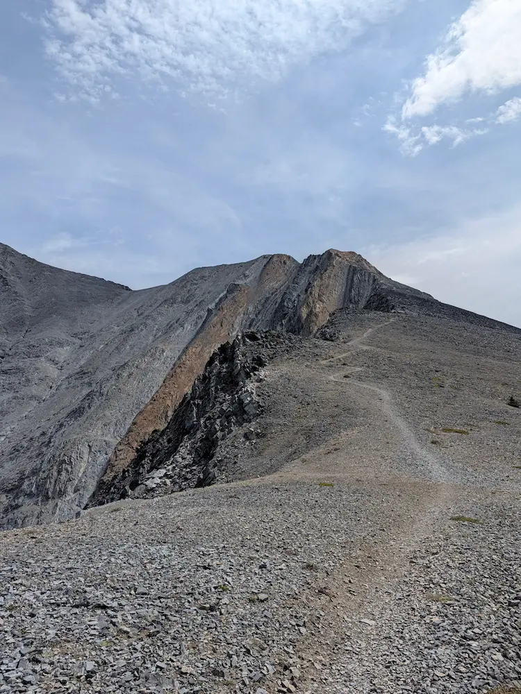
Once past Chicken-Out Ridge, the route turns abruptly north, traversing just beneath the satellite peak to gain the final summit block. The ridgeline is incredibly striking, with other dramatic high points like Sacajawea Peak looming to the south. The final pitch to the summit is just as steep as the lower mountain, but littered with loose talus and scree. Navigating the loose rock wasn't an issue for my own movement, but it posed a hazard for hikers below. Keeping rocks from trundling down required careful foot placement, especially while trying to maintain an efficient upward pace.
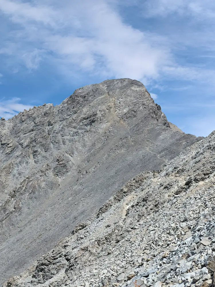
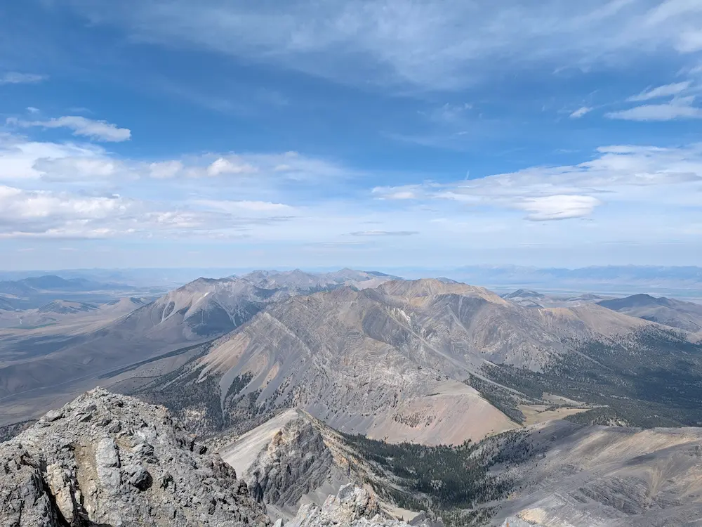
The summit rewards you with 360-degree views stretching all the way from the Tetons to the Pioneers and the White Cloud Range. A summit register and the classic cardboard elevation sign await at the top. A few chatty groups were taking in the views, but with building thunderheads beginning to bubble to the west, I didn't linger long before pivoting for the descent.
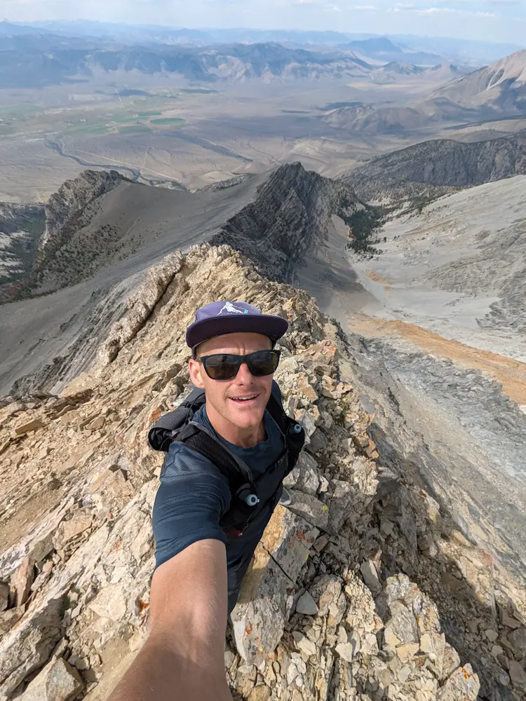
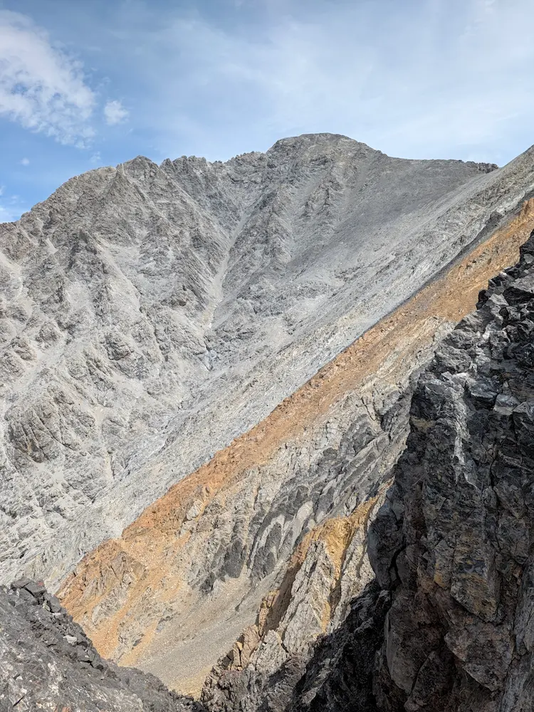
The drop back down was a exercise in precision: careful on the loose summit scree, calculated across Chicken-Out Ridge, and a pure leg-burner over the bottom two miles as I let gravity take over. The route is remarkably direct, highly scenic, and more than earns its reputation among state high points. Perhaps its most striking feature is the local geology—layered with vibrant bands of dolomite, quartzite, and limestone. All across the range, these ancient marine carbonates show the impressive forces of compression, folding, and massive tectonic uplift that formed the Lost River Range.
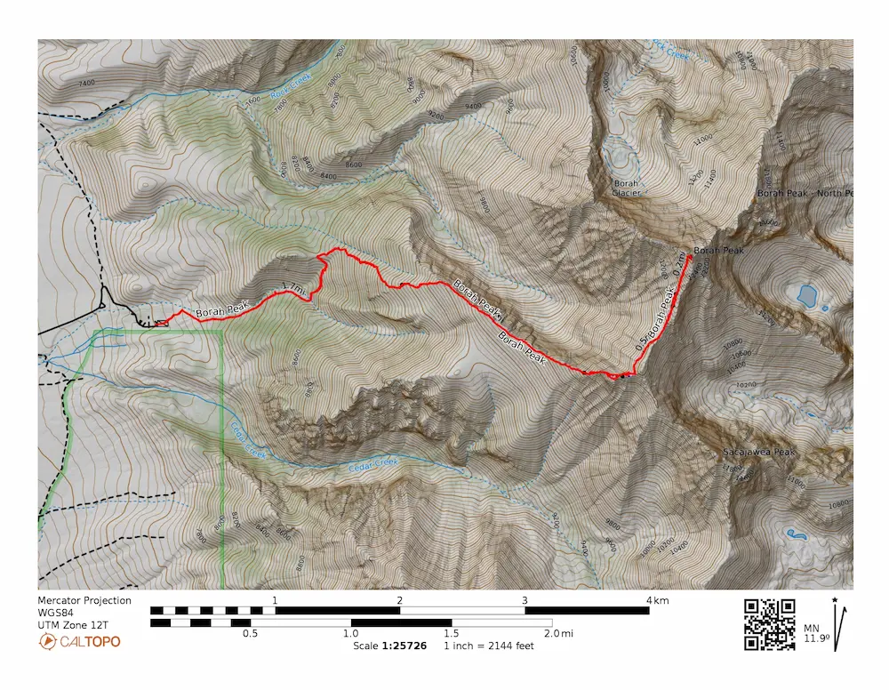
🗺️ Line of Travel:
Borah Peak Trailhead ➔ Borah Peak Trail ➔ Chicken-Out Ridge ➔ Summit(12,662 feet) ➔ Retrace Route
📍Beta:
The standard route is steep power-hiking transitioning to class 3 scrambling on Chicken-Out Ridge. Exposed sections require comfort with height, but handholds are solid and rock quality on the ridge is good. By August there was no water anywhere on the route. Start early and carry everything you need.
📊 Route Stats:
- Distance: 7.98 miles
- Elevation Gain: 5,394 feet
- Elapsed Time: 2:21:02
- Average Pace: 17.40 / mile
👟 Gear List:
- Shoes: Dynafit Ultra Pro 2
- Pack: Black Diamond Distance 12 Pack

Member discussion: