
Trip Report 8/23/2026
White Clouds Wilderness
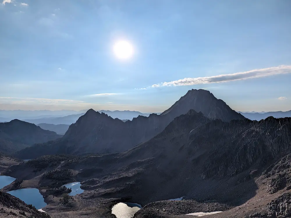
Following my Sawtooth introductory run on the Alice Toxaway Loop, I joined Dani for her long run day in the White Cloud Mountains of central Idaho. Like many ranges in this area, the White Clouds are lightly traveled, relatively unknown, and absolutely spectacular. The region gained official protection in 2015 as the Cecil D. Andrus White Cloud Wilderness, named in honor of the former Idaho governor and U.S. Secretary of the Interior. Situated east of the Sawtooths and north of Sun Valley, this range is less prominent from major highways but boasts numerous summits exceeding 10,000 feet. The Forest Service notes that most of the upper rock is limestone and metamorphic silicate, giving the peaks a distinct white color that pokes out above the horizon much like the clouds of their namesake.
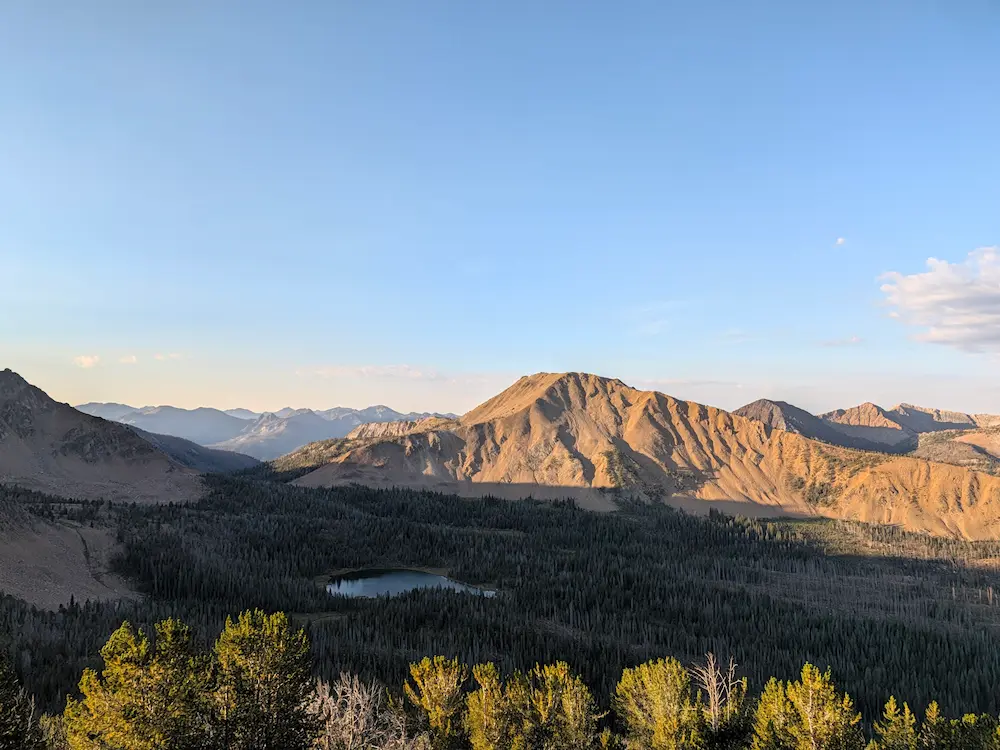
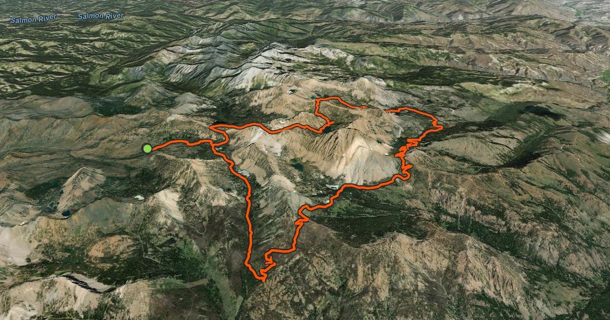
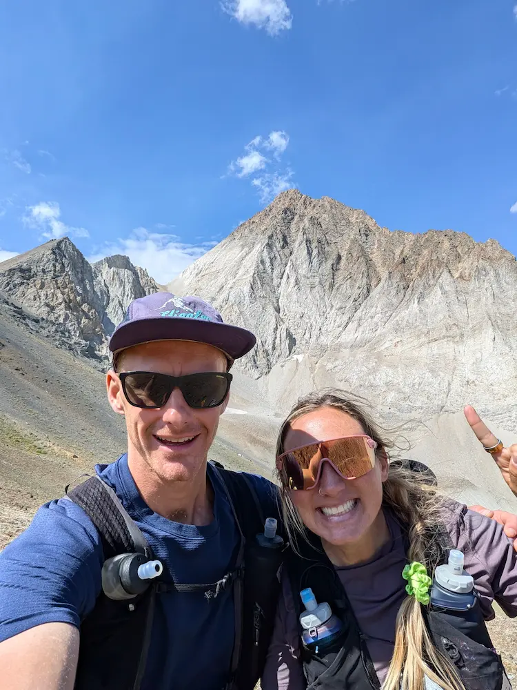
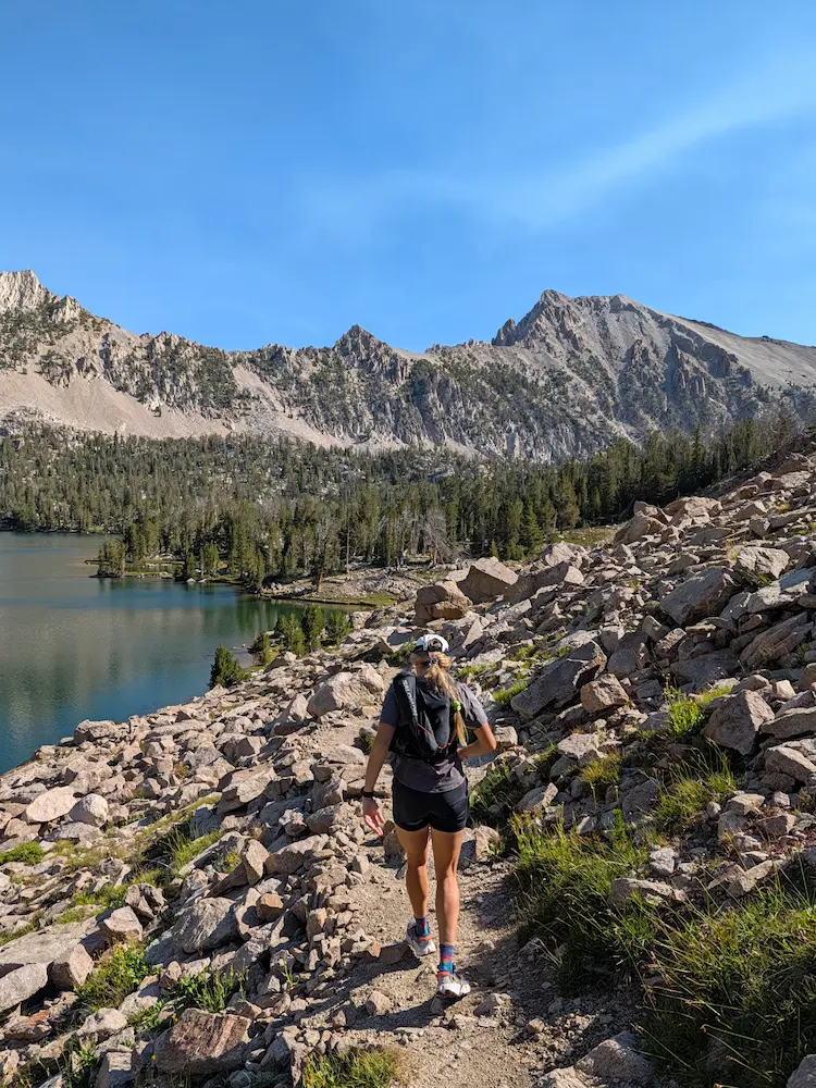
Dani picked a loop that starts at the Fourth of July Trailhead and circumnavigates Castle Peak through several drainages packed with high-alpine lakes. Much like the Sawtooths, the scenery was a continuous string of pristine tarns. Our day began with a climb straight out of the parking lot to 10,879 foot Patterson Peak. A week of heavy rain and afternoon thunderstorms was finally blowing out, leaving clear blue skies accompanied by a cold, sharp wind that kept our layers on until we dropped off the east side of Patterson. We were immediately greeted with views of Castle Peak and its surrounding drainages, where every valley harbored world class camping, fishing, and backpacking terrain.
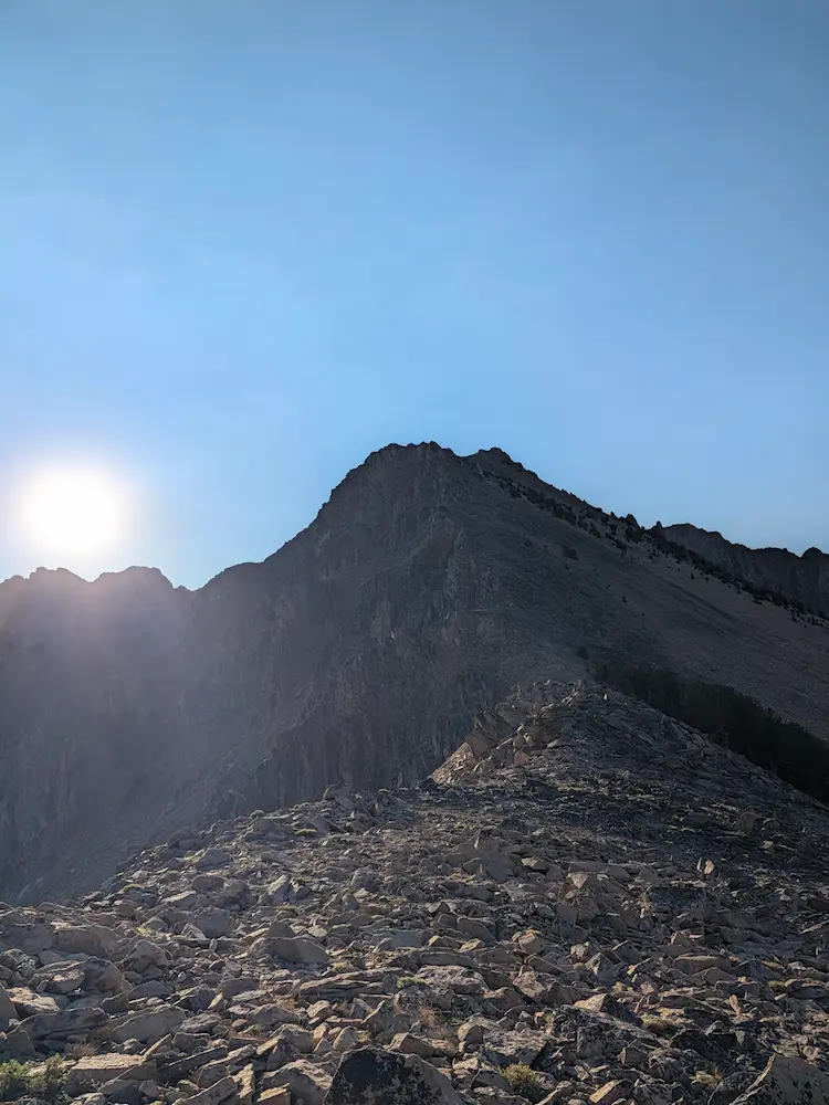
Our route up and over Patterson Peak varied slightly from the standard White Clouds route, which typically utilizes Devil's Staircase to reach Scree Lake. Instead, we stayed high through the Slickenside drainage, transiting the Four Lakes Basin and Quiet Lake before climbing back toward Scree Lake. This first quarter of the trip was largely off trail, with designated trail segments being faint and difficult to follow. We navigated around large boulder fields and used GPS tracking to manage the turn back up toward Scree Lake.
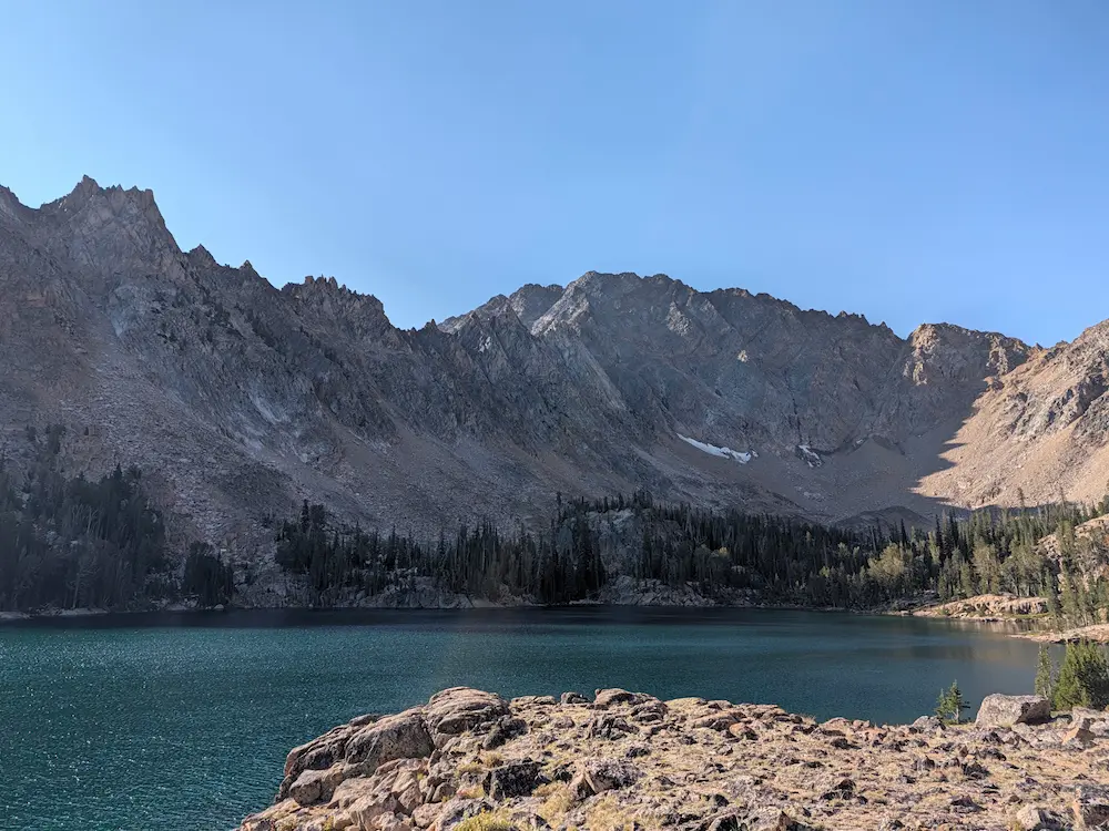
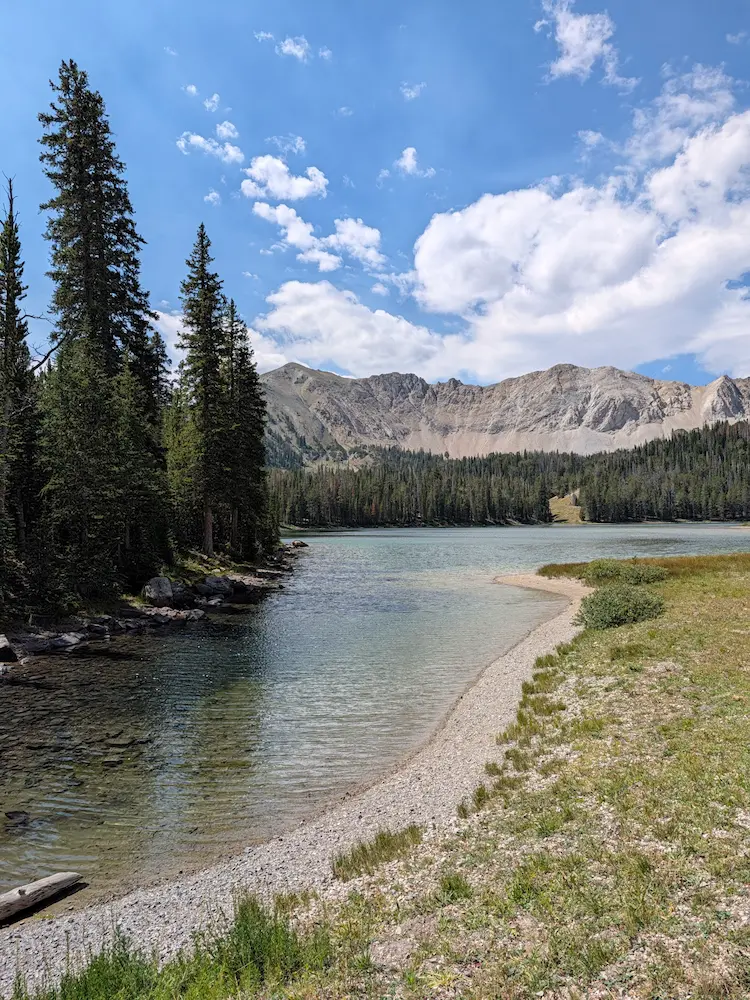
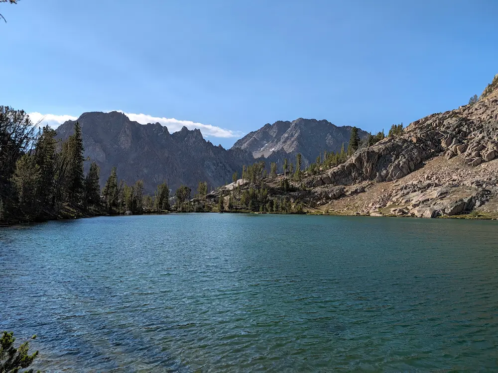
Once above Scree Lake, we picked up a more frequently traveled trail at a high pass called Windy Devil, which forms the divide between Slickenside and Boulder Chain Lakes Creek. Rejoining the trail, we descended through some of the finest alpine lakes the area has to offer, passing ten named lakes of substantial size over the next four miles as we dropped toward the eastern boundary of the wilderness. We encountered our first backpacker along this stretch, who was the only person we saw for the first 13 miles of the day.
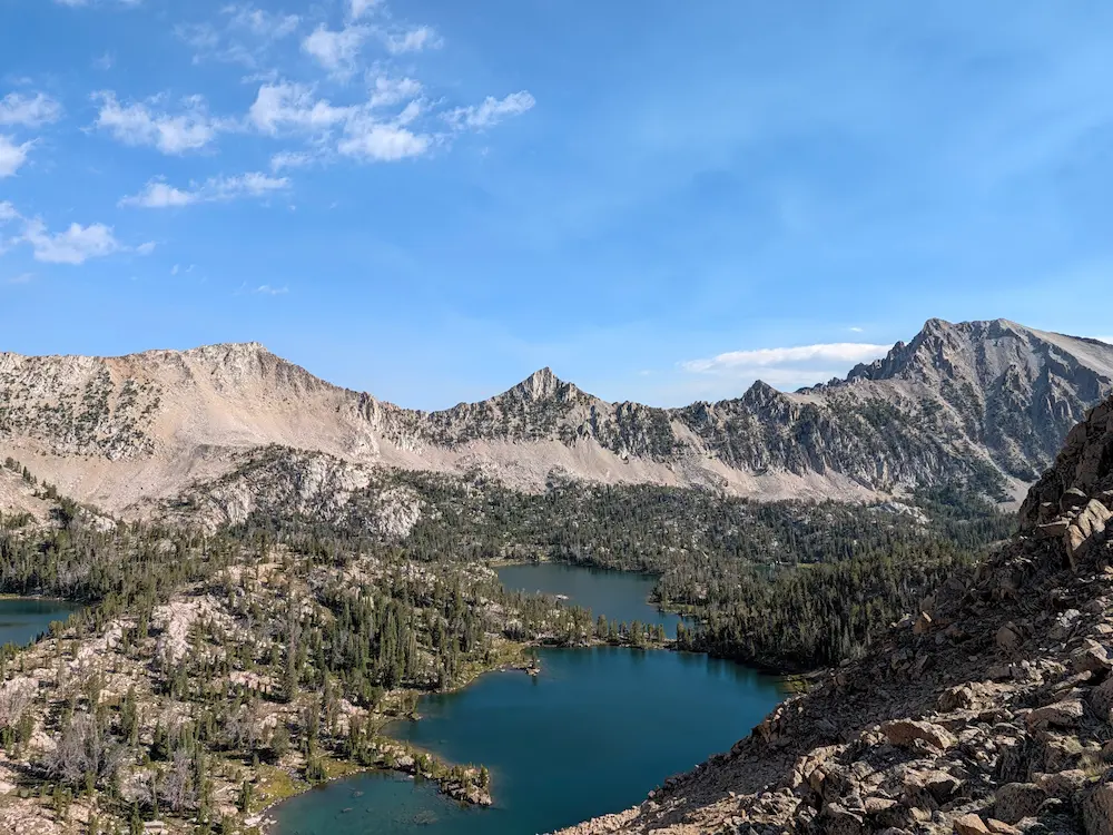
After descending along Boulder Chain Lakes, the trail makes two sharp right turns and heads back up Little Boulder Creek. Castle Peak reemerged ahead, its massive east face looming over the entire climb back toward the divide between Little Boulder Creek and the Chamberlain Lakes Basin. This pass climbs all the way back to 10,000 feet, where strong easterly winds greeted us once again. We passed several backpacking parties on this stretch who were heading into the Chamberlain Lakes.
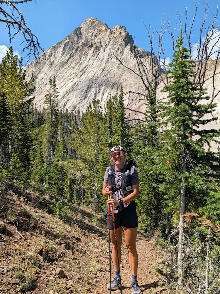
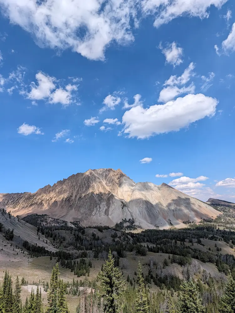
From there, surface water became scarce, as the southern aspect of Castle Peak proved much drier than the northern drainages. Skipping the stagnant basin tarns, we refilled at an occasional spring before catching flowing water again upon entering Washington Lakes Creek. The southwest aspect of Castle Peak was just as dramatic as the eastern views, revealing an obvious yet grueling scree route to the summit. I would have loved to spend another day pursuing the summit and exploring Chamberlain Lakes, but that will have to wait for a future trip.
The final climb up Washington Lakes Creek was a substantial effort, gaining elevation for three or four miles before cresting just above Fourth of July Lake. We closed the lollipop stem of our route at 25.5 miles and descended the final mile and a half back to the vehicle. Our pace had been measured, and my legs felt great despite racking up over 7,000 feet of total vertical gain. All in all, we saw no more than ten people across 27 miles of Idaho wilderness.
This was a special loop to complete because it feels like a route only locals truly know. Detailed beta on linking these specific drainages and off-trail segments is sparse. Exploring from range to range in Idaho continues to reveal a mind-boggling amount of terrain left to run. Dani and I headed into Stanley for pizza at Papa Brunees Pizza to refuel after another huge physical output. It was the ideal way to spend a late summer day, setting up nicely for the final objective of the trip: heading to the Lost River Range to tackle Borah Peak.
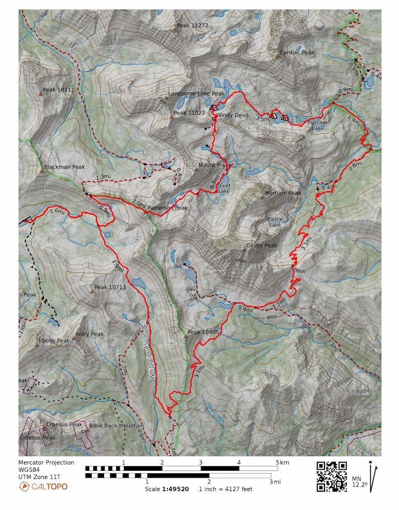
🗺️ Line of Travel:
Fourth of July Trailhead ➔ Patterson Peak ➔ Four Lakes Basin ➔ Quiet Lake ➔ Scree Lake ➔ Windy Devil Pass ➔ Boulder Chain Lakes Trail ➔ Livingston Mill Castle Divide Trail ➔ Little Boulder Creek ➔ Chamberlain Lakes Creek ➔ Washington Lakes Creek ➔ Fourth of July Lake ➔ Fourth of July Trailhead
📍Beta:
Much of this route is off trail or on unnamed trail. Use the GPX file from Strava to follow our specific loop. Water was prevalent for through Slickenside and Boulder Chain Lakes, but became more difficult on the Chamberlain Lakes side as it was late August.
📊 Route Stats:
- Distance: 26.97 miles
- Elevation Gain: 7,287 feet
- Elapsed Time: 8:26:14
- Average Pace: 18.46 / mile
👟 Gear List:
- Shoes: Dynafit Ultra Pro 2
- Pack: Black Diamond Distance 12 Pack
- Water: Katadyn Be Free

Member discussion: