
Trip Report 7/19/26
Fitzpatrick Wilderness
Fremont Peak was an objective in the making for about three years. Ever since climbing Gannett Peak in 2023, I have been obsessed with the idea of Wind River runs. I managed three big days out of the Big Sandy Opening in 2024, but was unable to return to this sacred range in 2025 due to the Dollar Lake Fire. That fire ravaged the Green River Lakes area and spread thick smoke across the full range for most of the summer. The Wind Rivers are hard to get to, have huge approaches, and offer such a short summer season that very few opportunities actually materialize. I have been trying to calendar some of these bigger objectives to make them happen. This practice has proven how few days one can actually get out and how precious the good weather days are.
One of those weather windows finally presented itself over a July weekend, as did my friend Chance who happened to text me the night before looking for a good run. We hopped in the car the next morning at 3:00 a.m. to arrive at Elkhart Park for a 5:00 a.m. departure. With dawn breaking, we ditched our headlamps and started the jog up the Pole Creek Trail, being careful not to stumble on the dimly lit rocks. Our pace was casual with the full understanding of how many miles and thousands of vertical feet were ahead of us.
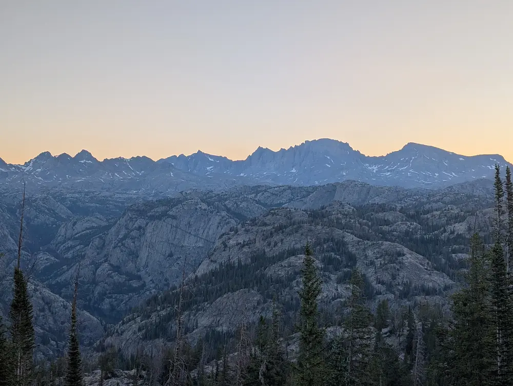
Fremont Peak is a broad granite giant that looms over the town of Pinedale. This peak was originally mistaken for the highest point in Wyoming and the entire Rocky Mountain range. The first known ascent was completed by John C. Frémont in 1842, approaching from the southwest aspect out of Titcomb Lakes. Unlike Fremont Peak, Gannett Peak is hidden from southern aspects and was often mistaken from northern aspects as Fremont Peak. It was not until 1922 that Gannett was officially recognized as the higher of the two. At 13,745 feet, Fremont is the third highest peak in Wyoming, sitting just behind the Grand Teton at 13,770 feet and Gannett Peak at 13,804 feet.
Our approach from Elkhart Park winds through the abundant lakes, rivers, and granite domes that dominate the range. The trails were still quite muddy and the water table was high, leaving several sections of trail completely underwater. At Little Seneca Lake, we were forced to climb up and around the rocky outcroppings that line the shore. Hot temperatures over the past few weeks had done a number on the snowpack, resulting in very little snow travel on our way to the summit.
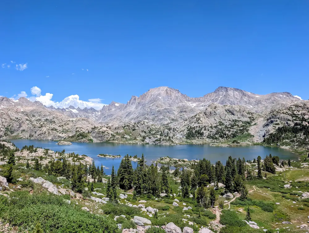
Once past the Seneca Lakes, our route to Fremont follows the Indian Pass Trail to scenic Island Lake. The views here have to be some of the best in the state. The feeling is mutual across the trail community, evidenced by a significant amount of backcountry camping and fishing being done in this area. We snapped photos and continued on toward Indian Pass. About 1.5 miles before the pass, our route to the southwest spur of Fremont Peak splits off, marking the start of the steepest part of the day. It is important to travel far enough on the Indian Pass Trail, about 15 miles from Elkhart, before going off trail to start climbing the peak.
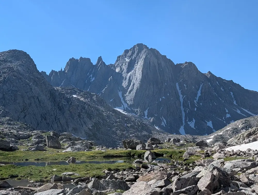
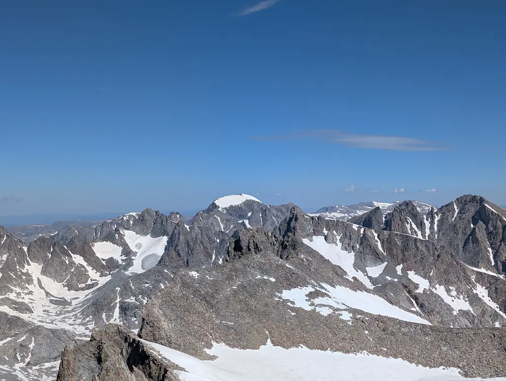
From that turn, the ascent route is obvious. It is a straight shot to the saddle overlooking Titcomb Basin and then directly up the southwest face of Fremont. There are slabby friction sections, but unless you are off route, there is no actual technical climbing required to reach the summit. From below, the peak looks broad, but the top is actually a narrow fin carved by the Upper Fremont Glacier on the north side. This large glacier is an impressive and unexpected sight from the top.
The summit provides the first clear view of Gannett Peak, which stays mostly hidden for the entire approach. Behind Gannett and a little to the west, the Tetons can be seen quite well. To the south, Jackson Peak is a close high point, and Harrower Peak dominates the south side of Indian Basin. Further on the southern horizon, Wind River Peak is the obvious high point, while Temple Peak stands out with its impressive north face. It was an incredible mountain range to enjoy under clear skies with almost no wind.
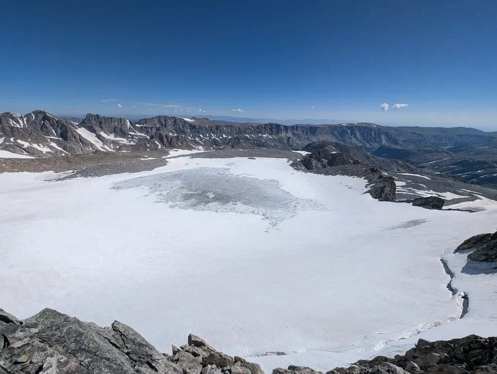
Chance and I sat at the summit for almost 45 minutes enjoying the pleasant weather and a good lunch. We started our descent off the summit using a slightly different gully, but immediately rejoined our ascent route. The return trip is a direct retrace of the line in. A few remaining snowy sections dropping into Indian Basin allowed for some fast foot glissading before we rejoined the regular trail.
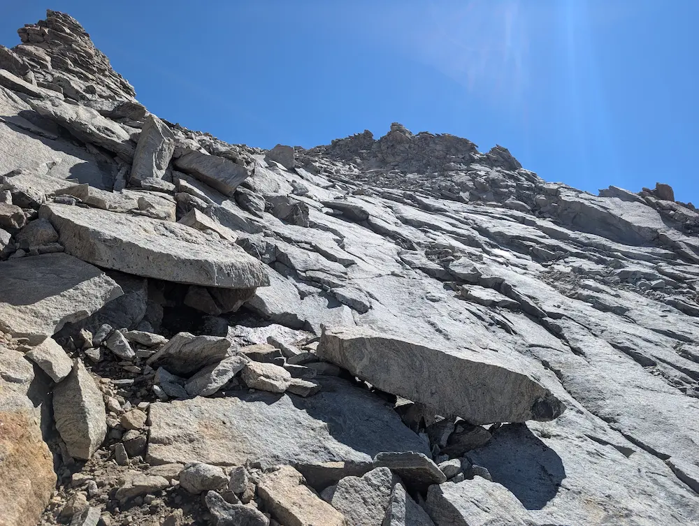
This single day trip to Fremont ended up being 34.5 miles in total. Like most worthwhile objectives in the Wind Rivers, the approaches are long and almost the entire day is spent above 10,000 feet. Thankfully, the trails are well worn and there is plenty of water with abundant lakes and rivers for all but the first and last five miles of the day. The final stretch from Photographer's Point back to our car at Elkhart is mostly downhill. Picking up the jogging pace there is a great way to end a perfect day in the Winds.
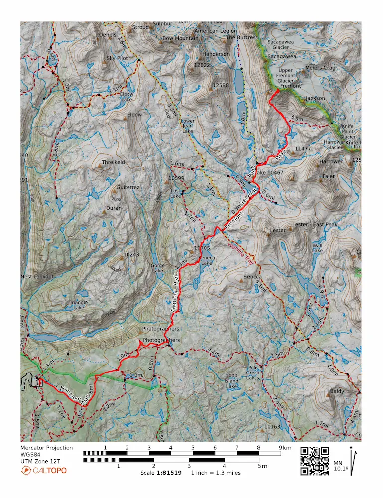
🗺️ Line of Travel:
Sacred Rim Trailhead ➔ Pole Creek Trail ➔ Seneca Lake Trail ➔ Highline Trail ➔ Indian Pass Trail ➔ Southwest Spur Route ➔ Summit(13,745 feet) ➔ Retrace Route
📍Beta:
No permits necessary. Late August proves to be snow and bug free, which are common challenges in early season. Plenty of water along the route.
📊 Route Stats:
- Distance: 34.55 miles
- Elevation Gain: 7,687 feet
- Moving Time: 8:22:33
- Elapsed Time: 10:53:21
- Average Pace: 14:33 / mile
👟 Gear List:
- Shoes: Dynafit Ultra Pro 2
- Water: Katadyn BeFree Filter
- Pack: Black Diamond Distance 15 pack


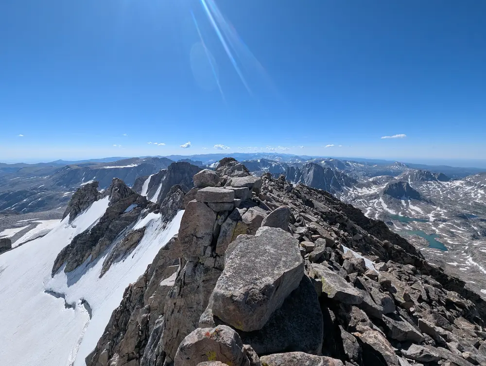
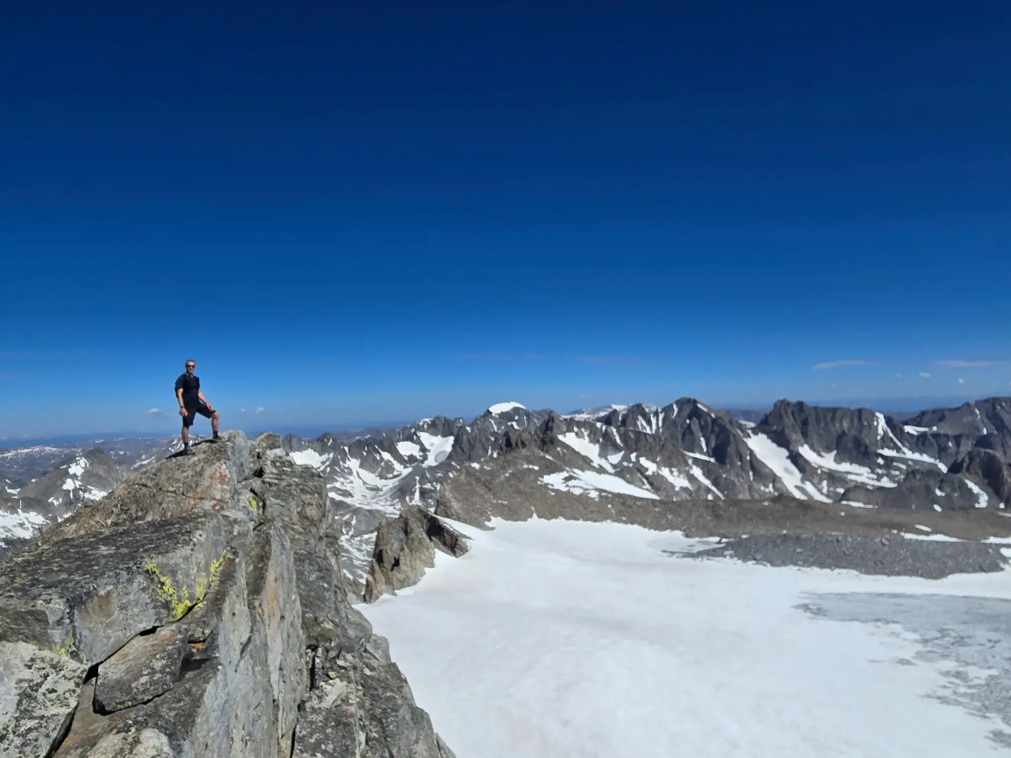
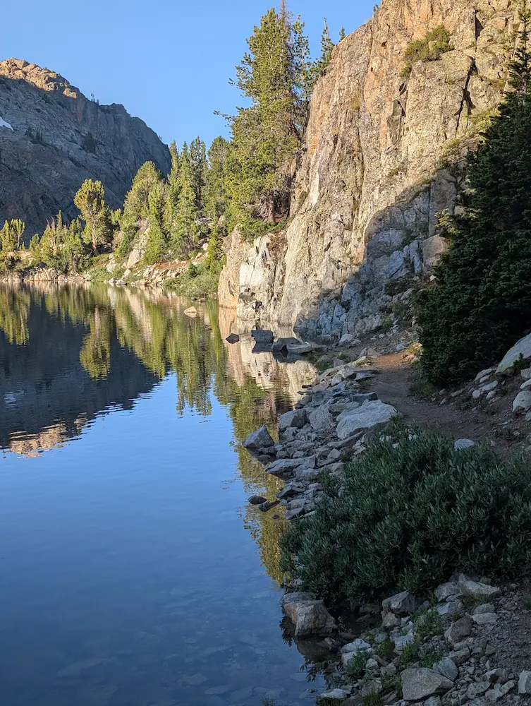
Fremont Peak Summit Looking South, Looking North, Little Seneca Lake go-around.

Member discussion: