Trip Report 9/6/2023
Grand Teton National Park
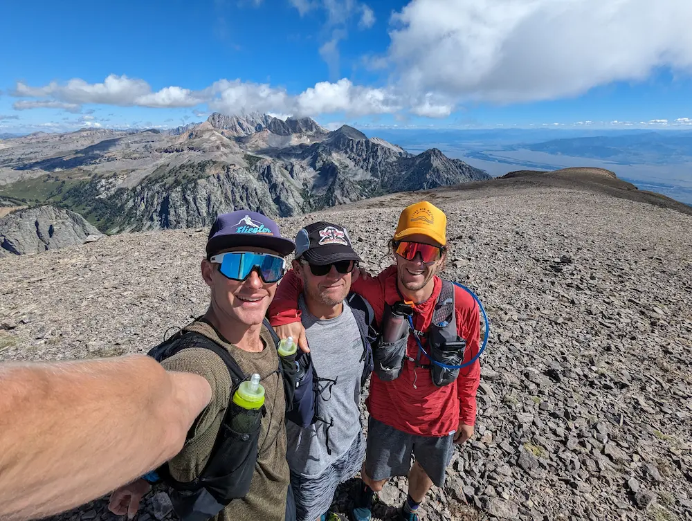
On the heels of running Gannett Peak, Wyatt and I took a few days to rest before embarking on Prospectors Mountain. This would be his last run before heading off to Oregon for the foreseeable future. Neither of us had climbed it, and I was especially curious to see Rimrock Lake, which sits tucked just below the summit. Chance joined us as well, which was a huge help since he had already been to the summit and Rimrock Lake on foot and on skis. He knew the route well, though ultimately the line is fairly straightforward aside from a few key route-finding choices.
Prospectors Mountain stands at 11,241 feet, making it the 20th highest summit in the Teton Range. It is one of the most prominent features in the southern end of the range, and its broad south face dominates the skyline when viewed from the west bank in Wilson. It remains a sparsely traveled peak with no official trail to the summit and a lengthy approach that keeps most people away. A far more common run or hike is to simply complete the Mount Hunt Divide Trail connecting Open and Granite Canyons, but Open Canyon is where Prospectors is best climbed.
Our route began from the Death Canyon Trailhead, though it can just as easily be started from the Granite Canyon Trailhead or the Laurence S. Rockefeller Preserve (LSR). It should be noted that the Death Canyon Trailhead will be closed for the remainder of the 2026 season while crews rebuild the area and expand parking, which will be a welcome upgrade when completed.
We jogged out from the trailhead and over the Phelps Lake overlook. It was immediately clear that we were still carrying fatigue from our Gannett extravaganza, but it was a beautiful day and I was eager to see a new summit. Heavy frost had settled overnight, and the thick foliage lining the trail soaked my shoes to an irritating degree. Water was bubbling out of my shoes by the time we reached our turnoff at Kaufman Creek.
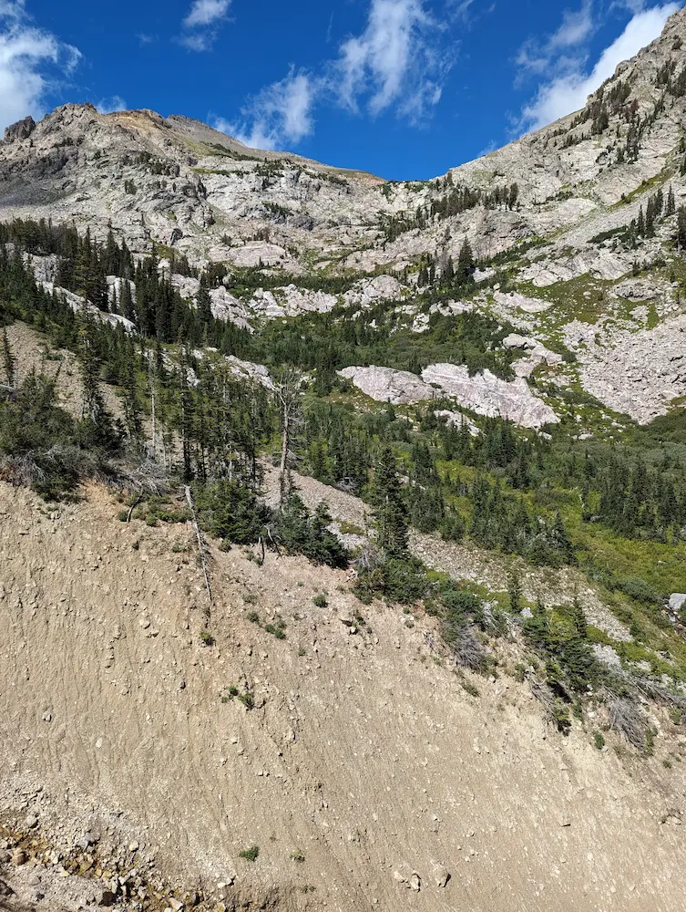
At approximately seven miles from Death Canyon, we left the Open Canyon Trail and began the off-trail section toward the summit. This departure point is right where the main trail turns and switchbacks south toward the divide. There is a very large dirt gully to cross here, which surprisingly turned out to be the most tedious obstacle of the day. We kicked footsteps into the steep dirt bank to climb in and out of the wash. Turning earlier to cross Kaufman Creek allows you to avoid this gully, but it results in significant bushwhacking through dense moose brush, so pick your poison.
The route quickly crosses Kaufman Creek and stays just left of the remaining brush. From there, the climb leads toward the high saddle between Tukuarika Peak and Prospectors Mountain. There is no marked trail or single right way to go; best practice is simply to avoid unnecessary bushwhacking and steer clear of the cliff ledges that obscure parts of the climb.
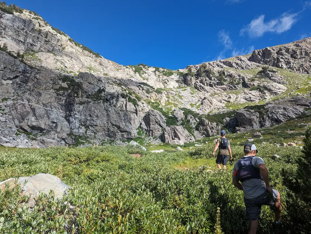
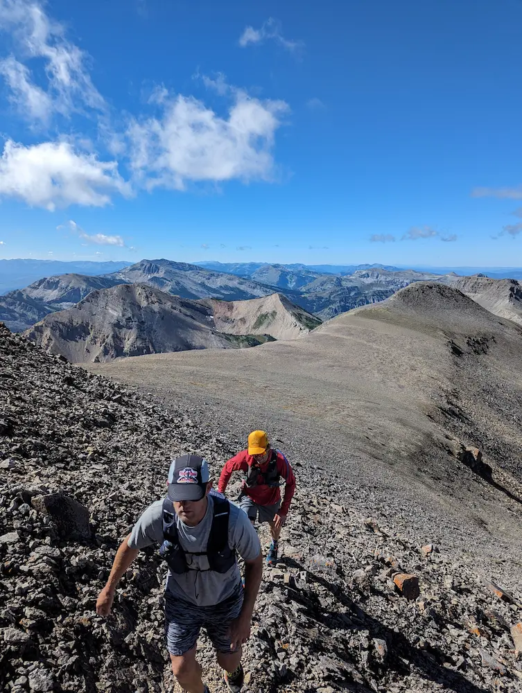
Once you gain the saddle, sweeping views of the central Teton peaks open up, alongside the broad summit ridge stretching to the east. The rest of the route follows a moderate ridgeline that opens into a wide plateau at the top. The summit area of Prospectors is remarkably large, flat, and smooth. It feels like walking on the moon, standing in stark contrast to the sharp, shale-ridden summits across the rest of the range.
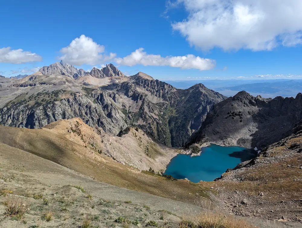
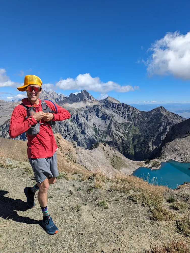
From the top, we descended slightly to the north for a view directly above Rimrock Lake. This turquoise blue gem is nestled in a high bowl that is only visible from this high ridge or from the very top of Static Peak. Chance had already been down to the water, Wyatt was feeling the miles, and I had no interest in swimming, so we opted to stay up high and enjoy lunch with a view rather than losing and regaining elevation.
Our descent began with a quick traverse on mountain goat paths back to the saddle below Tukuarika. From there, it was a direct retrace of our ascent line back down to the main trail. The run out through Open Canyon was shaded and soft underfoot, allowing us to move quickly. All in all, the day was surprisingly stout at just over 18 miles. The need for another true recovery day was obvious, but it didn't take away from an incredible day on one of the finest summits in the range.
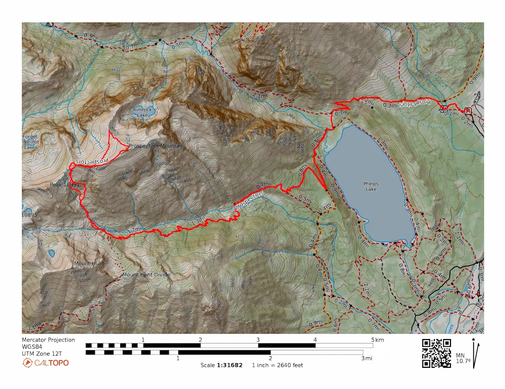
🗺️ Line of Travel:
Death Canyon Trailhead ➔ Valley Trail ➔ Open Canyon Trail ➔ Off trail at ~mile 7 ➔ Climb North to Ridgeline ➔ Summit(11,241 feet) ➔ Retrace Route
📍Beta:
Death Canyon Trailhead is closed through summer 2026. Use the LSR or Granite Canyon Trailheads. Off trail route finding begins at approximately mile seven. Avoid the moose brush as bushwhacking is not really necessary on this route.
📊 Route Stats:
- Distance: 18.75 miles
- Elevation Gain: 6,050 feet
- Moving Time: 4:22:34
- Elapsed Time: 5:54:46
- Average Pace: 14:00 / mile
👟 Gear List:
- Shoes: Dynafit Ultra 100 GTX
- Water: MSR Trail Shot Water Pump
- Pack: Dynafit Ultra 12 Vest


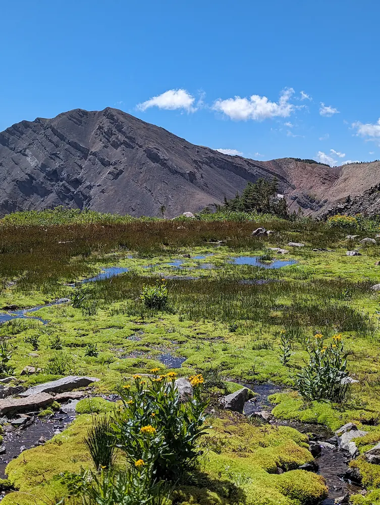
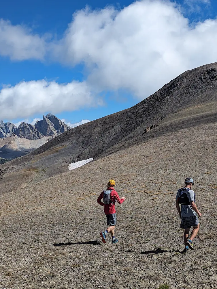
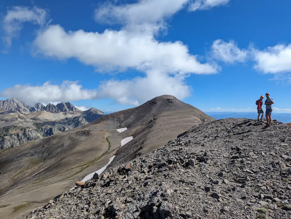
Mount Hunt, Summit Ridge, View of Prospectors Summit
Member discussion: