
Trip Report 7/19/2024
Teton Pass, Wyoming
Teton Pass is home to a wealth of outdoor pursuits, most notably its legendary backcountry ski terrain. This Jackson Hole staple is where many local winter athletes cut their teeth, mentored by parents, friends, or veterans of the range. During the summer months, the pass transitions into a hub for mountain bikers, hikers, and trail runners casting off into a variety of high-altitude routes. It serves as the primary launch point for runners embarking on the mighty Teton Crest Trail, as well as those heading out for a quick hike to Ski Lake or a high-heart-rate workout on the Mount Glory Trail.
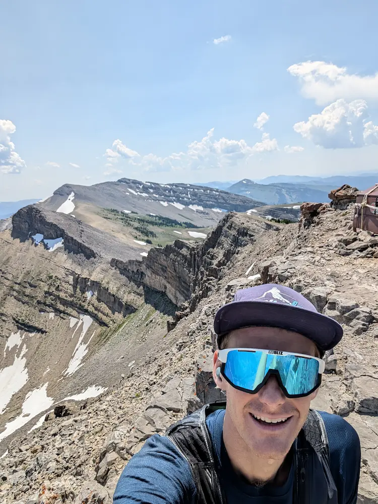
The Rendezvous Ridge Traverse is a lesser-known and seldom-traveled line that follows the direct skyline from Teton Pass to Jackson Hole Mountain Resort. Linking some of the most familiar summits in the valley, the route begins on Mount Glory and tops out on Rendezvous Peak at 10,929 feet. The second half of the traverse crosses terrain deeply familiar to anyone with a sidecountry affliction born from tram laps at JHMR. Crossing No Name Peak and Cody Peak, the skyline finishes at the Aerial Tram on Rendezvous Mountain. From the summit, runners can ride the tram down, drop via resort hiking trails, or link up with the gondola.
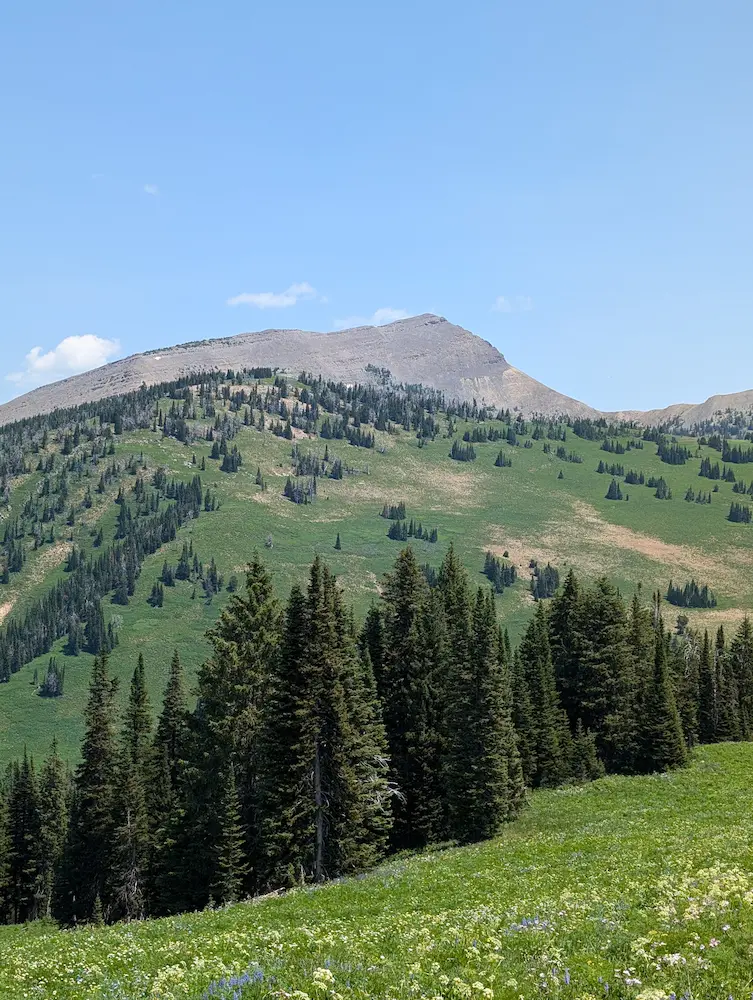
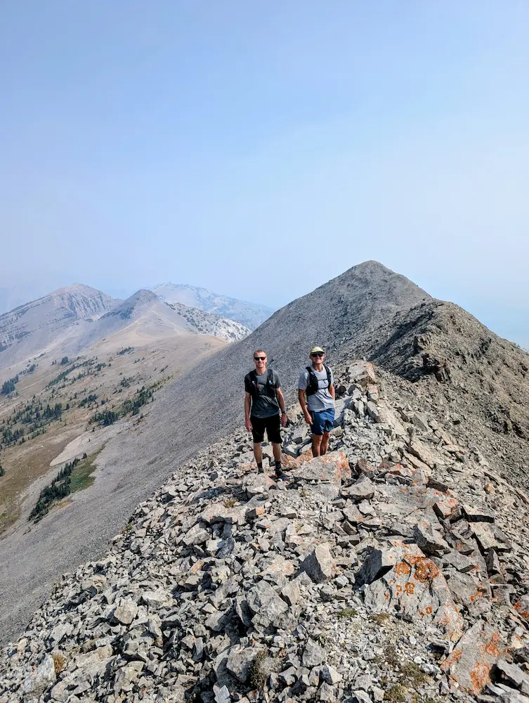
On this particular day, I managed to shuttle my car to Teton Village beforehand, getting a drop at the top of the pass from Alex. Sometimes logistics are the hardest part of a point-to-point alpine run. I hopped out of the car and charged up Mount Glory right away. Running solo has its perks—you can send sections of trail without managing a group pace or negotiating regroup points. I would return the next season with friends Chance and Emily at a more casual pace, allowing far more time for photos and taking in the scenery.
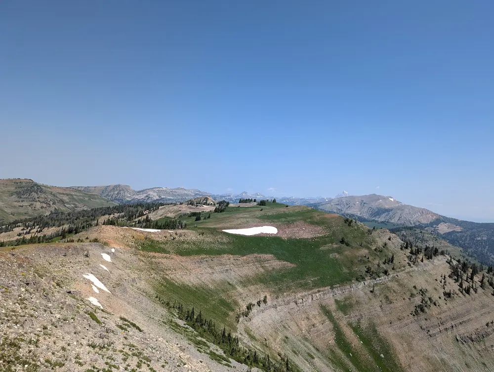
From the summit of Glory, I dialed back the effort and jogged across the Great White Hump toward Phillips Pass. It was only mid-summer, but most of the seasonal snowpack had already melted, making it clear I would be light on water for the next few hours. The line toward Phillips Pass is straightforward, though the trail fades in and out. By the fifth mile, the faint singletrack dispersed into light bushwhacking. Fortunately, the low point of Phillips Pass remains visible throughout, and Wilderness boundary markers guide you directly to where the route joins the Teton Crest Trail.
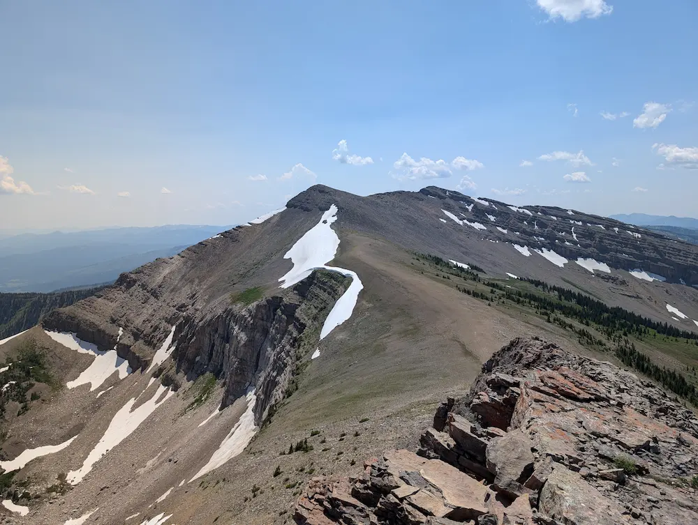
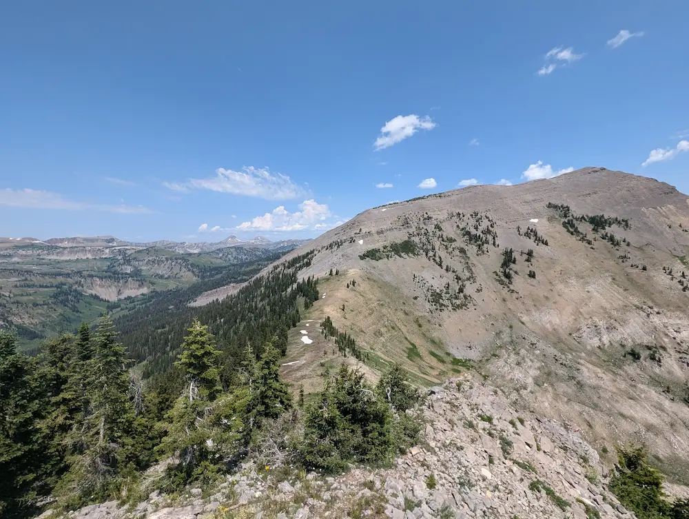
Back on established trail, the route climbs the shoulder of Rendezvous Peak for a mile before the off-trail adventure resumes. Just before the Teton Crest Trail drops into Moose Creek, the line splits off to ascend a false summit(Peak 10,501 Feet) southeast of Rendezvous Peak. From this point forward, you follow the direct skyline. The main climb up Rendezvous Peak was engaging, featuring brief sections of scrambling up sharp dolomite cliff bands. Most of the route's vertical gain is packed into this stretch, and the slow grind to the summit rewards you with panoramic views across the entire Jackson Hole valley.
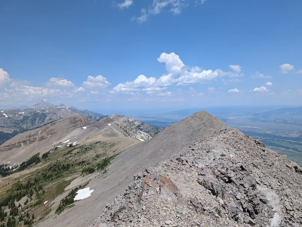
The spine of Rendezvous Peak is exceptionally picturesque. Jensen Canyon below harbors a complex web of cliffy terrain, while to the north, Granite Canyon and Pandora’s Ridge begin to take shape. The descent off Rendezvous Peak is slow going, with sharp, loose dolomite requiring careful foot placement. A permanent snowfield occupies the saddle before No Name Peak, which provided a welcome stretch of fast shoe-glissading. I managed to scrape up a small amount of snow to supplement my water supply, though it did little to quench a growing thirst. The run across the saddle to No Name is smooth, grassy, and pleasant—a rare stretch of effortless stride.
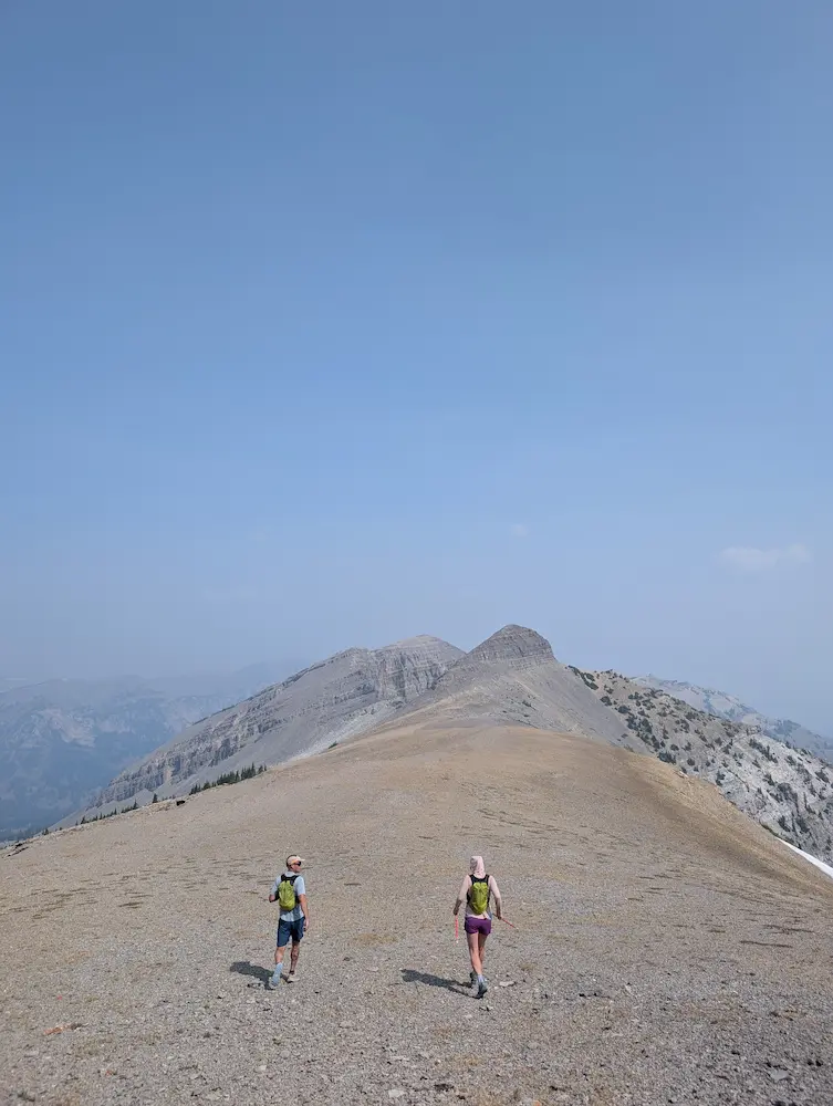
The brief downhill section passes quickly before the ascent up No Name Peak. The summit provides a clear view into No Name Bowl, the southern aspect of Cody Peak, and the steep gully route ascending Cody's southwestern flank. Scrambling down off No Name and crossing the notch brings you to the base of this gully, where the ascent proves shorter than it appears from a distance. From the summit of Cody Peak, I peered down into several classic winter ski lines: Once Is Enough Couloir looked like a sheer cliff without its winter snowpack, while Central Couloir and Four Shadows appeared loose and rugged.
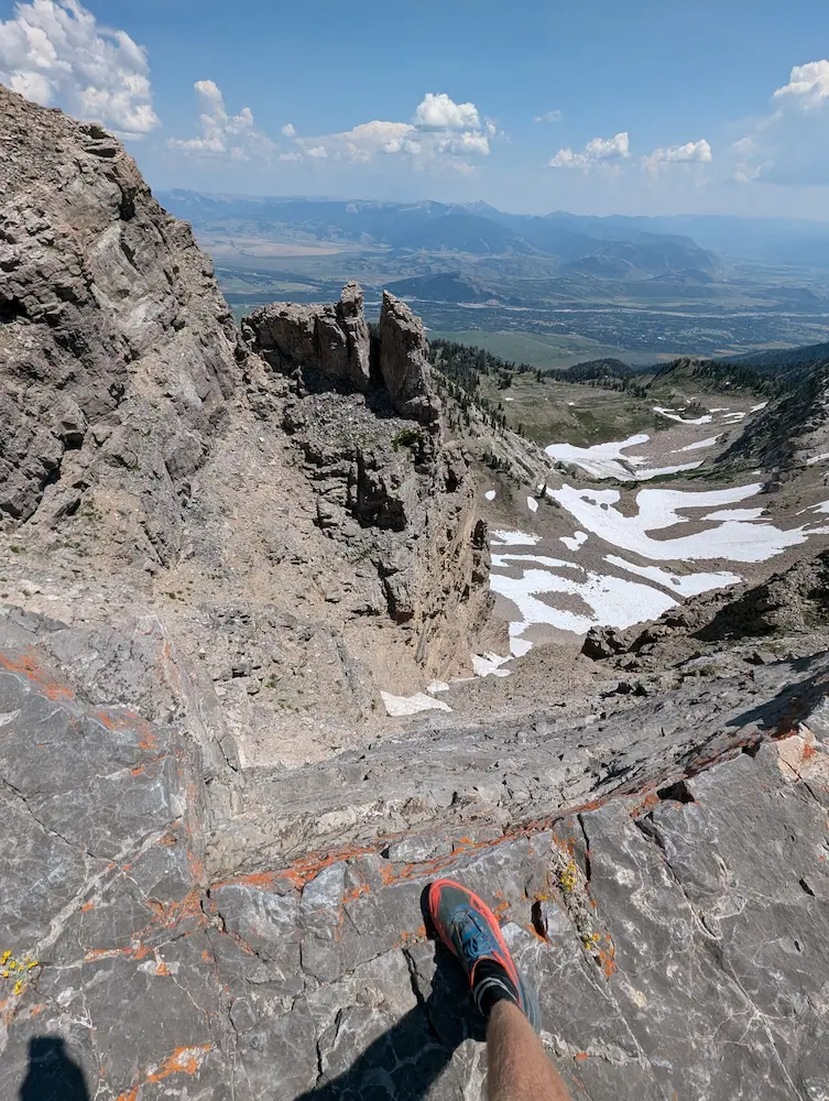
From the top of Cody Peak, a well-defined trail leads all the way back to the tram dock. A bit of light scrambling along the ridge above Cardiac Bowl connects with the Cody Bowl Loop Trail and the Rendezvous Mountain Trail. From there, you can follow singletrack or take the service road to the top of the Aerial Tram. I stopped into Corbet's Cabin to vaporize a cold root beer before walking onto the tram dock to catch a ride down to my vehicle.
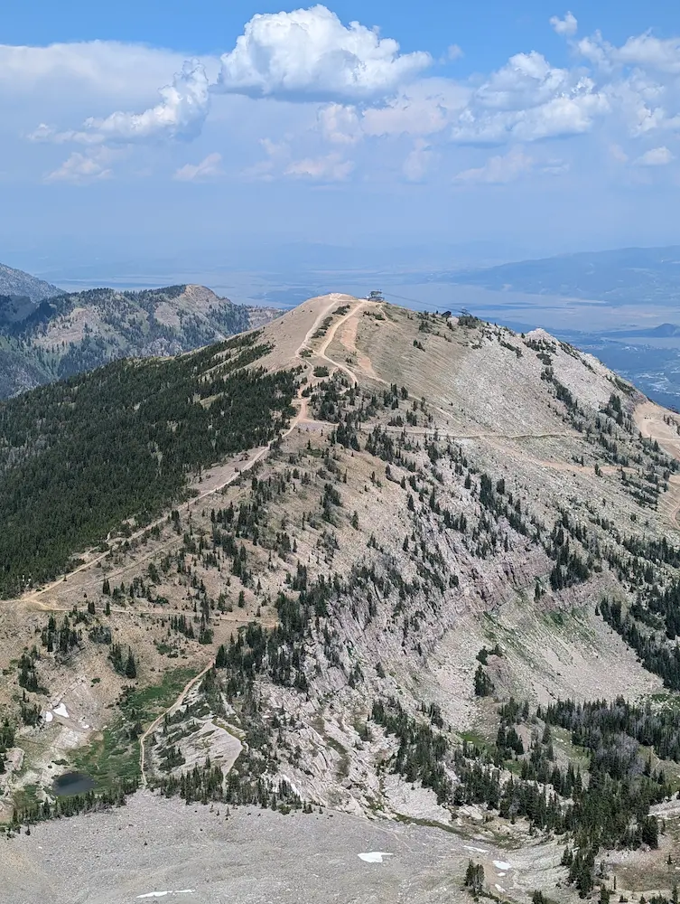
There are several options for descending from the top of the tram if you prefer not to ride down, including the Cirque Trail and the North Ridge Trail. When I repeated the Rendezvous Ridge Traverse in 2025, we opted to descend via the North Ridge Trail. This steep, creative route drops north off the tram summit, offering another fantastic summer look at prime winter ski terrain. From the bottom of the North Ridge Trail, we caught the Bridger Gondola down to Teton Village, though running all the way out via the Wildflower Trail remains a great option to finish off a big day.
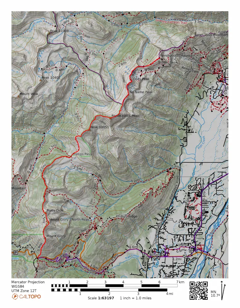
🗺️ Line of Travel:
Teton Pass Summit ➔ Mount Glory Trail ➔ Ski Lake Trail ➔ Unnamed Trail ➔ Phillips Pass ➔ Teton Crest Trail ➔ Off Trail to Peak 10,501 feet ➔ Rendezvous Peak ➔ No Name Peak ➔ Cody Peak ➔ Rendezvous Mountain Trail ➔ Rendezvous Mountain Summit
📍Beta:
Much of this route does not follow a designated trail, but uses the actual skyline as the route. There is very little water on this route. From Phillips pass you can descend a quarter mile into Phillips Canyon to find a spring along the maintained trail. This is a great place to refill and is about the halfway point when measured by distance.
📊 Route Stats:
- Distance: 11.54 miles
- Elevation Gain: 5,764 feet
- Moving Time: 2:55:44
- Elapsed Time: 3:28:55
- Average Pace: 15:13 / mile
👟 Gear List:
- Shoes: Dynafit Ultra Pro 2
- Pack: Black Diamond Distance 15 pack


Member discussion: