
Trip Report 8/22/26
Sawtooth Wilderness
A rainy second half of our Wyoming summer had me scanning my trail running bucket list for locations with better weather. One place not too far away was the Sawtooth and Lost River ranges of Idaho. I had been eyeing Borah Peak for a while, but the four-hour drive in each direction meant I needed to add a night or another run to make the trip worthwhile. With more sun in the forecast than Jackson and an open weekend ahead, I drove west with the Alice Toxaway Loop and Borah Peak on the docket.
On the drive over, I reached out to my friend Dani who lives in the area to see if she wanted to join for an outing. It was my lucky day. She was planning a long run for Sunday in another beautiful Idaho range I had never heard of: the White Clouds. My itinerary was filling up perfectly, and I could not wait to get loose on some brand-new trail. Unique mileage is such a treat, and the Sawtooths are remarkably picturesque. Like many ranges in the Intermountain West, you could spend an entire season exploring here and still barely scratch the surface.
The Alice Toxaway Loop starts at the Tin Cup Trailhead on Pettit Lake. Alice Lake is a major feature in Pettit Creek Canyon, which connects across a high divide to Yellow Belly Creek Canyon to the north, where Toxaway Lake resides. Both canyons, their lakes, and the combined loop represent a classic backpacking destination. The Tin Cup Trailhead stays busy and was full throughout the weekend. Parking directly at the trailhead sits inside a campground and requires a $10 fee, but plenty of pullout parking lines the roadway just before the campground entrance if you want to avoid the fee or arrive when the lot is full.
Knowing afternoon thunderstorms were likely, I was up before first light making breakfast out of the back of my truck. I knew I could complete the loop in half a day, but I wanted to ensure I caught all the views and took photos before overcast weather rolled in. After prepping breakfast, lunch, and my running vest, I jogged off toward the trailhead in remarkably warm morning air. The previous day had topped 90 degrees, and overnight cloud cover held the heat through dawn.
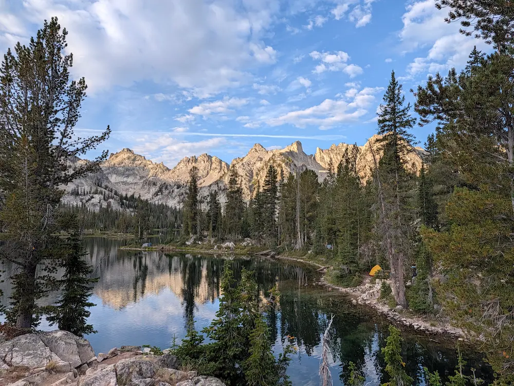
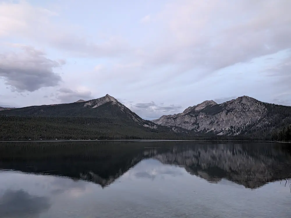
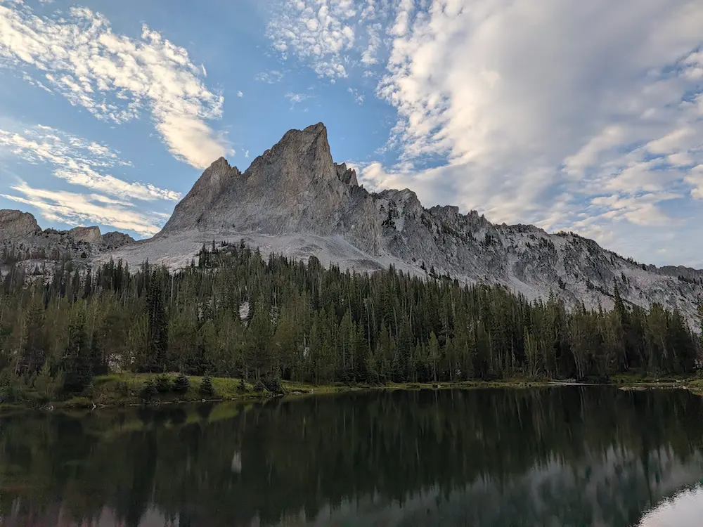
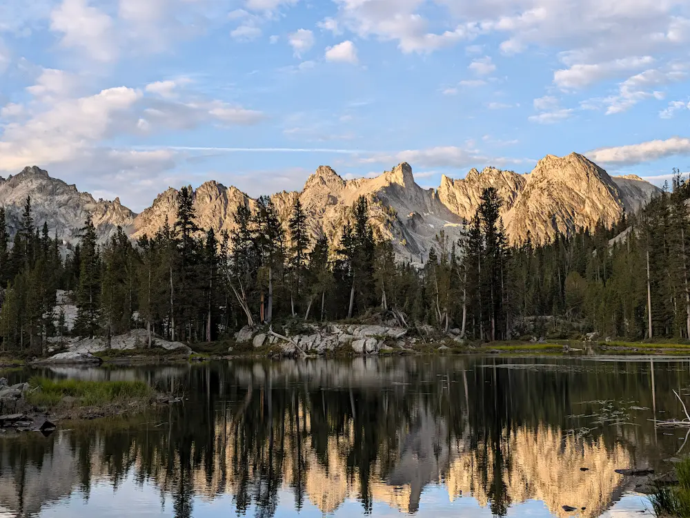
I opted to run the loop clockwise, following Dani's advice to add extra high-country mileage by climbing over Sand Mountain Pass to include Edith Lake. The run begins along Pettit Lake, which was calm and glassy in the early light. I quickly reached the wilderness boundary, passing a waterlogged box of self-service permits for the Sawtooth Wilderness. From there, the trail climbs gradually up Pettit Creek for about six miles before Alice Lake suddenly appears under the watchful eye of El Capitan. The rising sun broke free of the horizon, blanketing the glacially carved canyon bowls in golden light. Perfect Peak and Snowyside Peak were bathed in morning sun as I passed one breathtaking alpine lake after another.
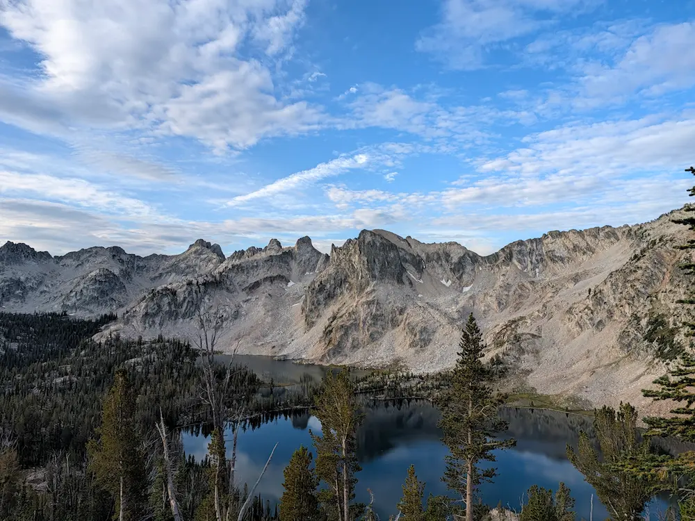
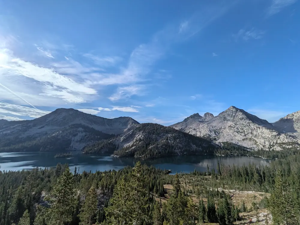
The climb to Snowyside Saddle, which divides Pettit Creek and Yellow Belly Creek, was as good as trail running gets. Twin Lakes sparkled below, alongside several unnamed tarns on the opposite side of the pass. Crossing over the divide, I encountered a family of mountain goats that scattered up the hillside as I switchbacked down toward Toxaway Lake. At roughly 11 miles in, I refilled my water flasks with a Katadyn filter and took a short spur trail down to the shore of Toxaway to snap a few photos.
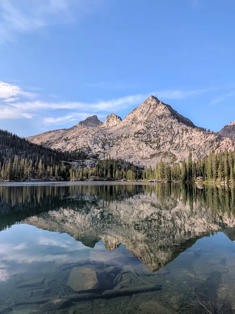
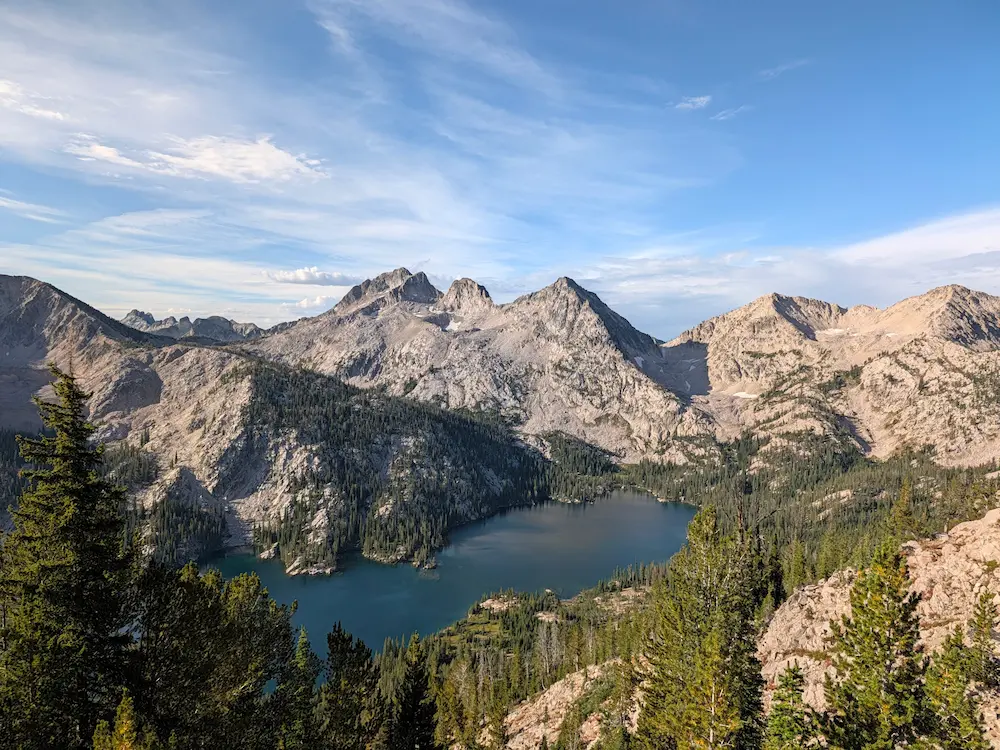
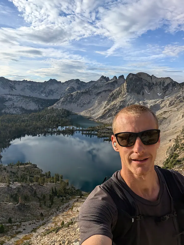
From Toxaway, I started the bonus climb up Sand Mountain toward the Edith Lake Trail. Gaining elevation offered a fantastic aerial perspective of Toxaway Lake, yielding some of the best photos of the day. At the top of Sand Mountain, I passed junctions leading deeper into the wilderness, making mental notes of future routes before dropping down toward Edith Lake. Reaching the shore, I took yet another round of photos, having lost count of how many lakes I had passed on a route that kept delivering one outstanding view after another.
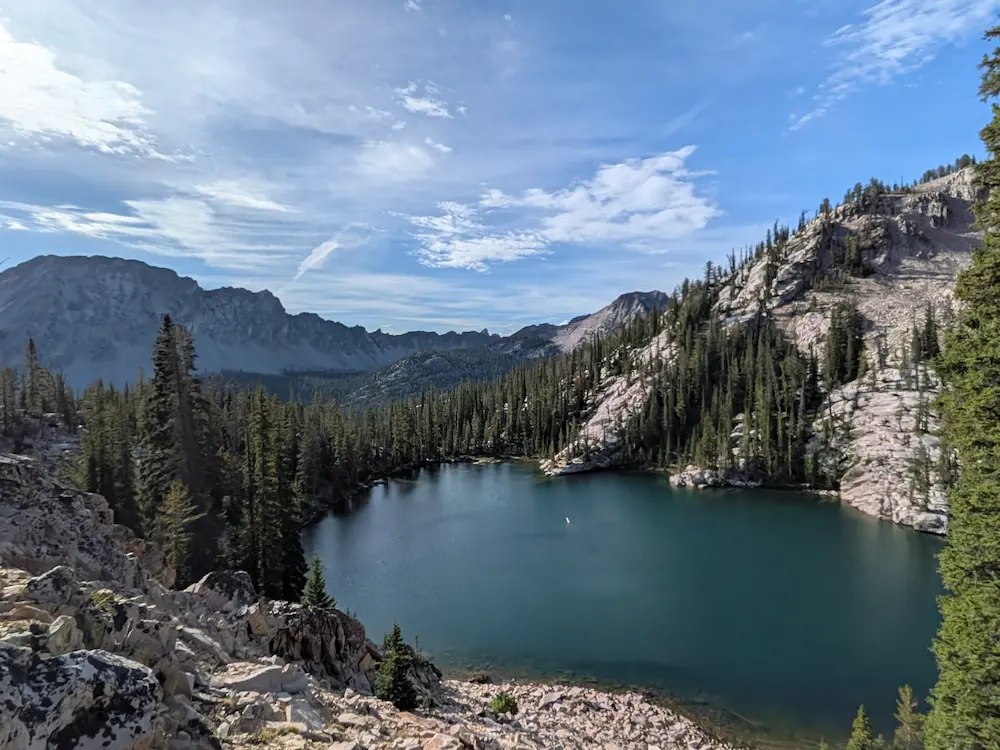
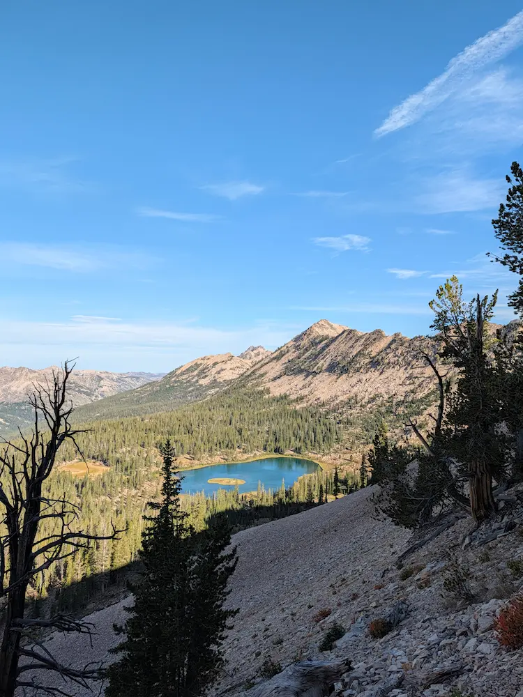
The Edith Lake Trail drops off Sand Mountain to rejoin the primary Alice Toxaway Loop along Yellow Belly Trail. I passed one last scenic vantage of Farley Lake sitting beneath Parks Peak before picking up the pace to close out the loop. Descending the canyon, my legs felt great and the trail smoothed out. After one rock-hopping creek crossing, I took the final turn onto the Pettit Lake Cutoff Trail, which leads over a glacial moraine and back into Pettit Creek, closing the loop along the shore of Pettit Lake just half a mile from the trailhead.
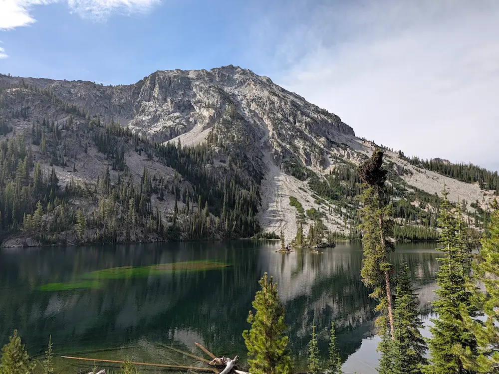
It was a short jog back to my truck, arriving just as dark thunderstorm clouds began to build overhead. I had snuck in arguably the finest loop in the Sawtooths right in the nick of time. With Dani's long run on the calendar for the next day in the White Clouds, I started refueling and recovering for what was turning into a big three-day weekend. Alice Toxaway delivered everything I hoped for and more. These late summer running days are precious to say the least.
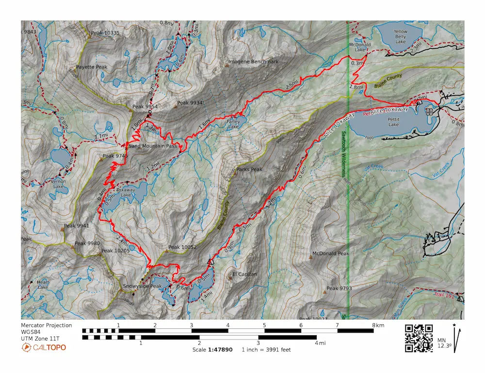
🗺️ Line of Travel:
Tin Cup Trailhead ➔ Pettit Creek Trail ➔ Alice Lake - Redfish Lake Trail ➔ Edith Lake Trail ➔ Yellow Belly Trail ➔ Pettit Lake Cutoff ➔ Pettit Creek Trail ➔ Tin Cup Trailhead
📍Beta:
The Route: The standard Alice Toxaway Loop from Tin Cup Trailhead is roughly 19 miles. Adding the Sand Mountain Pass and Edith Lake detour brings the total distance to approximately 23.5 miles with over 4,300 feet of vertical gain.
Trailhead & Parking: Located at Pettit Lake. Parking in the official Tin Cup Trailhead lot inside the campground requires a $10 fee. Free parking is available along the access road just outside the campground boundary.
Water & Logistics: Water is abundant throughout the entire loop via streams, alpine lakes, and outlets. A lightweight squeeze filter was all I needed to run fast and light. Self-service wilderness permits are required at the trail boundary.
📊 Route Stats:
- Distance: 23.55 miles
- Elevation Gain: 4,331 feet
- Moving Time: 4:17:50
- Elapsed Time: 4:44:23
- Average Pace: 10:57 / mile
👟 Gear List:
- Shoes: Dynafit Ultra Pro 2
- Water: Katadyn Be Free
- Pack: Black Diamond Distance 15 Pack


Member discussion: